March 3, 2026

Weekly News

Latest Images of the Day

View the Image of the Day archive

Smoke Rises Over Big Cypress National Preserve

Smoke Rises Over Big Cypress National Preserve

The National fire has burned tens of thousands of acres within the Florida preserve, fueled by vegetation dried by prolonged drought and killed by recent frost.

Scoria Cones on Earth and Mars

Scoria Cones on Earth and Mars

The hill-shaped features are a sign of explosive volcanic activity—a rarity on the Red Planet.

Chesapeake Bay Locked in Ice

Chesapeake Bay Locked in Ice

Nearly 50 years ago, the first Landsat satellite captured the rare sight of Mid-Atlantic waterways frozen over.

Dry-Season Floods Drench Northern Colombia

Dry-Season Floods Drench Northern Colombia

Villages and farmland were swamped after unusually heavy early-February rains pushed the Sinú River over its banks.

Landslide and Avalanche Debris Litter Hubbard Glacier

Landslide and Avalanche Debris Litter Hubbard Glacier

Satellite-based radar images show where a powerful earthquake in the Yukon, Canada, sent rock, snow, and ice spilling across the frozen landscapes of the St. Elias Mountains.

More from NASA Earth Science

Plants exposed to artificial lighting burst into bloom earlier and flower longer than plants exposed exclusively to natural sunlight. A recent study that relies on NASA satellite data found that this effect raises pollen counts throughout much of the year, extending and intensifying allergy seasons in brightly lit communities.

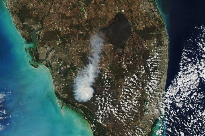
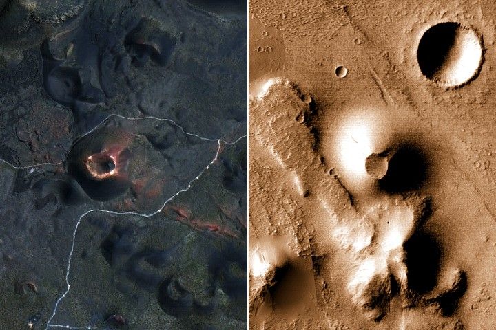
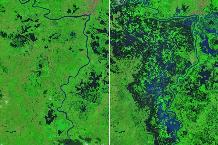
For over 50 years, the Landsat program has provided the longest continuous satellite record of Earth's land surface from space. Landsat 9, launched in 2021, is the latest mission in this remarkable legacy.

NASA Earth Observatory

Where every day is Earth day

Visit science.nasa.gov/earth/earth-observatory

Follow NASAEarth

Instagram  Facebook  X


NASA Earth Science Division