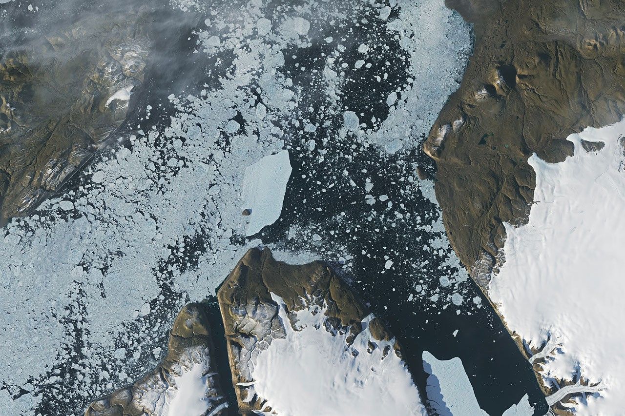
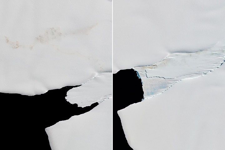
In summer 2026, a substantial iceberg calved from Petermann Glacier in northwest Greenland and swiftly drifted into Nares Strait, colliding with an island along the way.
Experts are analyzing decades of images from Landsat satellites for clues about how the iconic birds have responded to sea ice disruptions in the past.
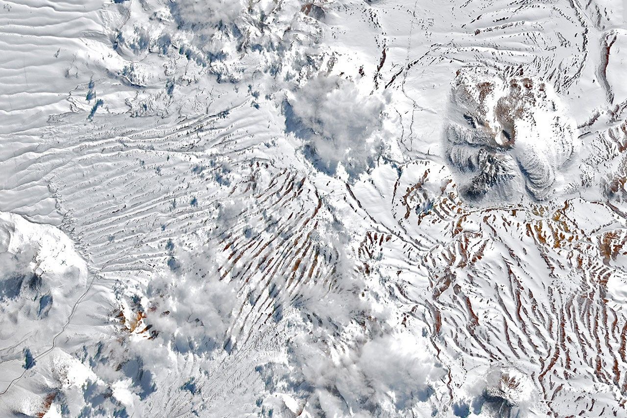
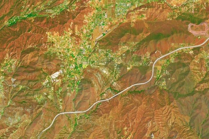
September 2026 Satellite Puzzler
Your challenge is to tell us the location of the satellite image and why it is interesting.
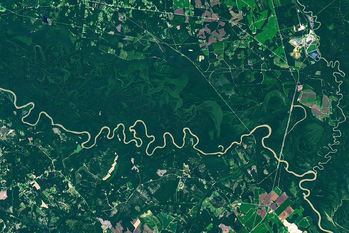
From Texas to Maine, coastal wetlands and marshes are releasing more than 1.45 billion pounds (660,000 metric tons) of carbon into the ocean each year, according to new research supported by NASA.