| |
|
|
|
 |
|
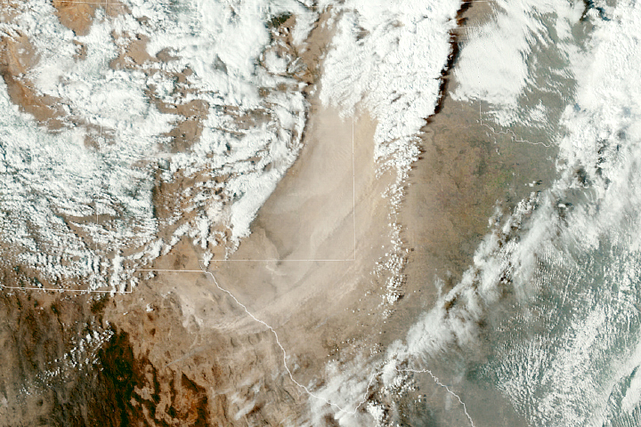
Dust Blows Across the U.S. Southwest
In the wake of a cold front, strong winds lofted dust into the air over northern Mexico, eastern New Mexico, and northwestern Texas.
|
|
| |
|
|
|
 |
|
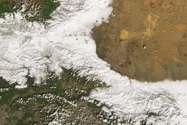
Snow in Southern California
A powerful late-February storm brought blizzard conditions to areas near Los Angeles.
|
|
| |
|
|
|
 |
|
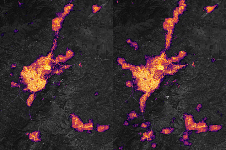
Dark Nights in Antakya
In the days after strong earthquakes struck Turkiye, significant destruction left many areas without electric power.
|
|
| |
|
|
|
 |
|
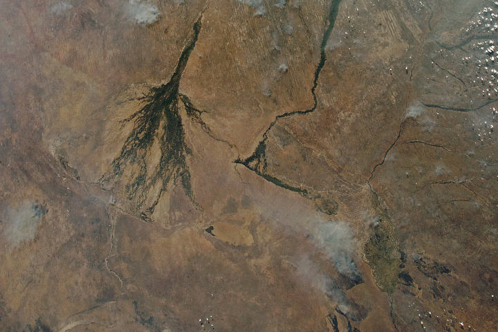
Northern Kalahari Desert Panorama
Smoke and cumulus clouds dotted the sky when an astronaut photographed a remote part of Botswana, Zambia, Namibia, and Angola.
|
|
| |
|
|
|
 |
|
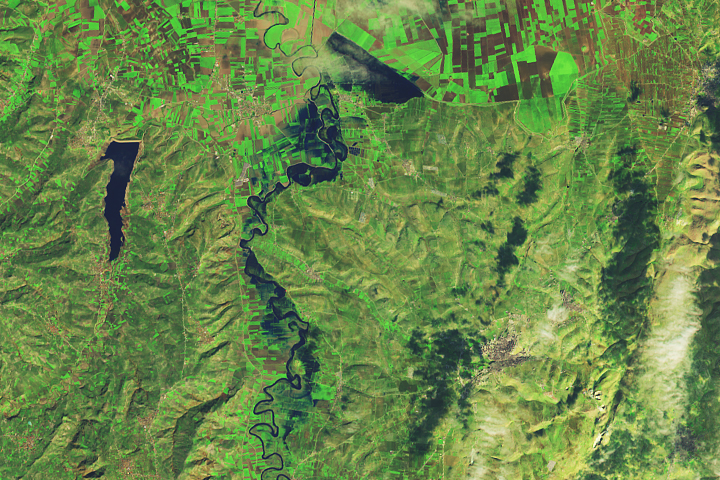
Flooding Along the Orontes River
Some towns and farmland were flooded after powerful earthquakes and heavy rains struck areas of Turkiye and Syria.
Â
|
|
| |
|
|
|
 |
|
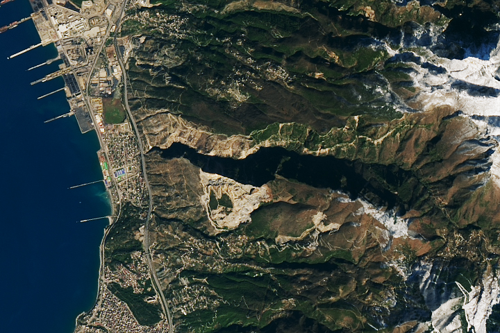
Landslides in Turkiye
Scientists are using satellite images to locate landslides following the powerful earthquakes that struck in early February.
|
|
| |
|
|
|
 |
|
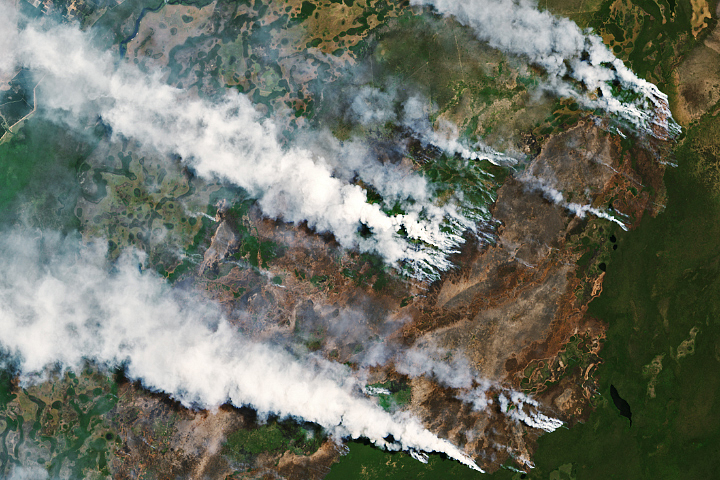
Fires Burn in Argentina's Ibera National Park
Fueled by a heatwave and prolonged drought, fires burned the protected Argentine oasis, home to capybaras and jaguars.
|
|