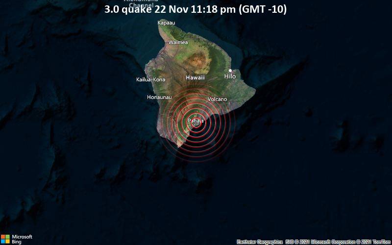
An earthquake of magnitude 3.0 occurred only 12 minutes ago 2 miles south of Pāhala, Hawaii, United States, the United States Geological Survey reported.
The quake hit at a moderately shallow depth of 22 miles beneath the epicenter near Pāhala, Hawaii County, Hawaii, USA, late at night on Monday, November 22nd, 2021, at 11:18 pm local time. The exact magnitude, epicenter, and depth of the quake might be revised within the next few hours or minutes as seismologists review data and refine their calculations, or as other agencies issue their report.
A second report was later issued by the European-Mediterranean Seismological Centre (EMSC), which listed it as a magnitude 3.0 earthquake as well.
According to preliminary calculations, we do not expect that the quake was felt by many people and did not cause any damage. In Pāhala (pop. 1,400, 2 miles away), Hawaiian Ocean View (pop. 4,400, 20 miles away), Volcano Village (pop. 2,600, 25 miles away), Mountain View (pop. 3,900, 36 miles away), Holualoa (pop. 8,500, 43 miles away), Hawaiian Paradise Park (pop. 11,400, 44 miles away), and Hilo (pop. 43,300, 46 miles away), the quake was probably not felt.
Earthquake data:
 (Hawaii, Hawaii, United States)
https://www.volcanodiscovery.com/earthquake/news/148299/Magnitude-30-earthquake-strikes-near-Pahala-Hawaii-County-Hawaii-USA.html