Hurricane Harvey Before/After Imagery
- Tue 05 Sep 2017 02:49:PM
Hurricane Harvey Before/After Imagery
https://oceanservice.noaa.gov/news/sep17/hurricane-harvey.html
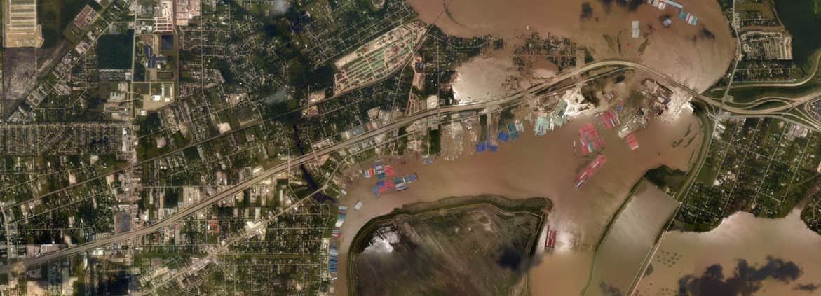
From August 27-September 4, the National Geodetic Survey (NGS) collected damage assessment imagery in the aftermath of Hurricane Harvey. The aerial imagery was collected in specific areas identified by FEMA and the National Weather Service. You can access all of the images collected online.
https://oceanservice.noaa.gov/news/sep17/hurricane-harvey.html