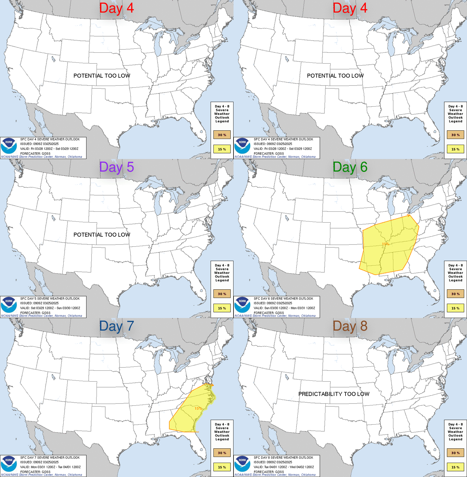
SPC Mar 17, 2023 Day 4-8 Severe Weather Outlook
- Fri 17 Mar 2023 08:58:AM
SPC Mar 17, 2023 Day 4-8 Severe Weather Outlook
Day 4-8 Outlook

Read more
https://www.spc.noaa.gov/products/exper/day4-8/
Day 4-8 Outlook

Day 4-8 Convective Outlook
NWS Storm Prediction Center Norman OK
0356 AM CDT Fri Mar 17 2023

Valid 201200Z - 251200Z

...DISCUSSION...
Organized severe thunderstorm potential is expected to remain low
across the CONUS on Day 4/Monday and Day 5/Tuesday, as appreciable
low-level moisture should generally remain confined to the FL
Peninsula. Medium-range guidance shows general agreement that an
upper trough will move over the western CONUS around the middle of
next week, and eject over the Plains late next week. As surface lee
cyclogenesis occurs ahead of this feature, low-level moisture should
return northward across parts of the southern/central Plains,
lower/mid MS Valley, and perhaps the Midwest from Day 6/Wednesday
into Day 7/Thursday.

Increasing potential for severe thunderstorms will probably be
realized on Thursday across portions of these regions as both
instability and shear strengthen ahead of a cold front/dryline.
However, there are still notable differences/spread in both
deterministic and ensemble guidance regarding the ejection of the
upper trough, and placement of related surface features. Parts of
the southern/central Plains into the mid MS Valley vicinity may
eventually need a 15% severe delineation once better run-to-run and
inter-model consistency increases. Depending on the evolution of the
upper trough and low-level moisture return ahead of it, a severe
threat may also exist across parts of the lower MS Valley and
Southeast on Day 8/Friday.
Read more
https://www.spc.noaa.gov/products/exper/day4-8/