|
0 members (),
1,427
guests, and
21
robots. |
|
Key:
Admin,
Global Mod,
Mod
|
|
S |
M |
T |
W |
T |
F |
S |
|
|
|
|
|
|
|
1
|
|
2
|
3
|
4
|
5
|
6
|
7
|
8
|
|
9
|
10
|
11
|
12
|
13
|
14
|
15
|
|
16
|
17
|
18
|
19
|
20
|
21
|
22
|
|
23
|
24
|
25
|
26
|
27
|
28
|
29
|
|
30
|
31
|
|
|
|
|
|
|
There are no members with birthdays on this day. |
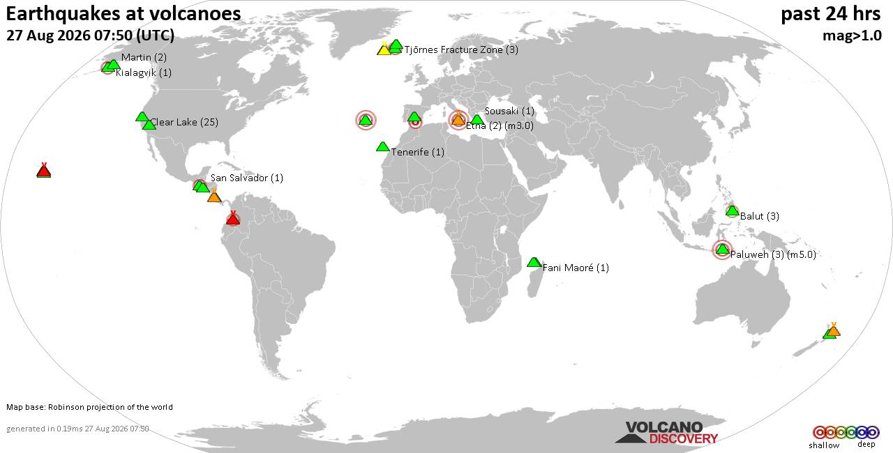
Volcano earthquake report for Thursday, 27 Aug 2026
• Strong mag. 5.2 earthquake - 334 km south of Ogasawara, Tokyo, Japan, on Th...
• Seismic-like event, possible earthquake, reported minutes ago near Granada,...
• World Earthquake Report for Thursday, 27 August 2026
• Possible earthquake reported near Acapulco de Juárez, Guerrero, Mexico, a ...
• Moderate mag. 4.3 earthquake - 16 km southeast of Acapulco de Juárez, Esta...
|

#522927
Thu 19 Sep 2019 08:43:PM
|
Joined: Feb 2001
Posts: 678,977
Launch Director
|
|
Launch Director
Joined: Feb 2001
Posts: 678,977 |
Issued at 500 PM AST Thu Sep 19 2019
000
WTNT45 KNHC 192043
TCDAT5

Hurricane Jerry Discussion Number  10
NWS National Hurricane Center Miami FL       AL102019
500 PM AST Thu Sep 19 2019

Jerry is a compact hurricane on satellite imagery with the central
dense overcast becoming more symmetric during the past few hours.
Before the Air Force plane departed, the crew recorded 700-mb
flight-level winds of 97 kt and SFMR winds of about 70 kt,
suggesting maximum winds of about 75 kt. Since that time, an eye
feature has been noted on the last-light visible images, indicating
that the earlier intensification has probably continued.  Thus, the
initial wind speed is set to 80 kt, and the next aircraft is
scheduled to investigate Jerry around 0000 UTC to obtain a better
estimate.

The hurricane still has some time to strengthen before
northwesterly shear increases by tomorrow morning.  The shear
increase will also probably allow some environmental dry air
to be entrained into the central core and help weaken the cyclone.
Thus weakening is anticipated by late tomorrow continuing
into Saturday.  Some re-strengthening is possible early next week
as Jerry could find a lower shear region due to a mid-latitude
trough interaction.  The new NHC wind speed prediction has not
changed too much, but is a little higher at longer range to reflect
the above possibility.

The initial motion is still west-northwestward, or 295/15 kt. A
large subtropical ridge to the northeast of Jerry should continue to
steer the hurricane at about the same direction and speed during the
next day or two. The models have generally trended a bit to the
north on this cycle at short range, and the official forecast
follows suit. Thereafter, Jerry is forecast to move around the
then-weakening ridge, turning to the northwest on Saturday,
north-northwest on Sunday, and then northward and north-
northeastward by Monday/Tuesday.  The guidance has moved to the
northeast at longer range on this cycle, possibly due to a stronger
mid-latitude trough helping to weaken the ridge.  The NHC forecast
is adjusted to the northeast on this advisory, although is still on
the western side of the guidance envelope.


Key Messages:

1. Although the core of Jerry is expected to move north of the
northern Leeward Islands, life-threatening flash floods are
possible, along with tropical-storm-force winds in some areas.


FORECAST POSITIONS AND MAX WINDS

INIT  19/2100Z 17.5N  55.8W   80 KT  90 MPH
 12H  20/0600Z 18.4N  57.9W   85 KT 100 MPH
 24H  20/1800Z 19.5N  60.8W   75 KT  85 MPH
 36H  21/0600Z 20.7N  63.6W   70 KT  80 MPH
 48H  21/1800Z 21.9N  65.8W   65 KT  75 MPH
 72H  22/1800Z 24.9N  68.7W   65 KT  75 MPH
 96H  23/1800Z 28.0N  68.5W   65 KT  75 MPH
120H  24/1800Z 33.0N  65.0W   70 KT  80 MPH

$$
Forecaster Blake
Source: Hurricane Jerry Forecast Discussion Number 10
|
|



CMS The Best Conveyancing solicitors conveyancing quotes throughout the UK
For any webhosting enquiries please email webmaster@aus-city.com
|
|
Entire Thread
|
 Hurricane Jerry Forecast Discussion Number 10
|
Webmaster
|
Thu 19 Sep 2019 08:43:PM
|
|
Forums60
Topics813,581
Posts848,374
Members2,960
| |
Most Online102,106
Jul 10th, 2026
|
|
|





































