|
|
|
1 members (Alisa),
2,521
guests, and
21
robots. |
|
Key:
Admin,
Global Mod,
Mod
|
|
S |
M |
T |
W |
T |
F |
S |
|
|
|
|
|
1
|
2
|
3
|
|
4
|
5
|
6
|
7
|
8
|
9
|
10
|
|
11
|
12
|
13
|
14
|
15
|
16
|
17
|
|
18
|
19
|
20
|
21
|
22
|
23
|
24
|
|
25
|
26
|
27
|
28
|
29
|
30
|
31
|
|
There are no members with birthdays on this day. |
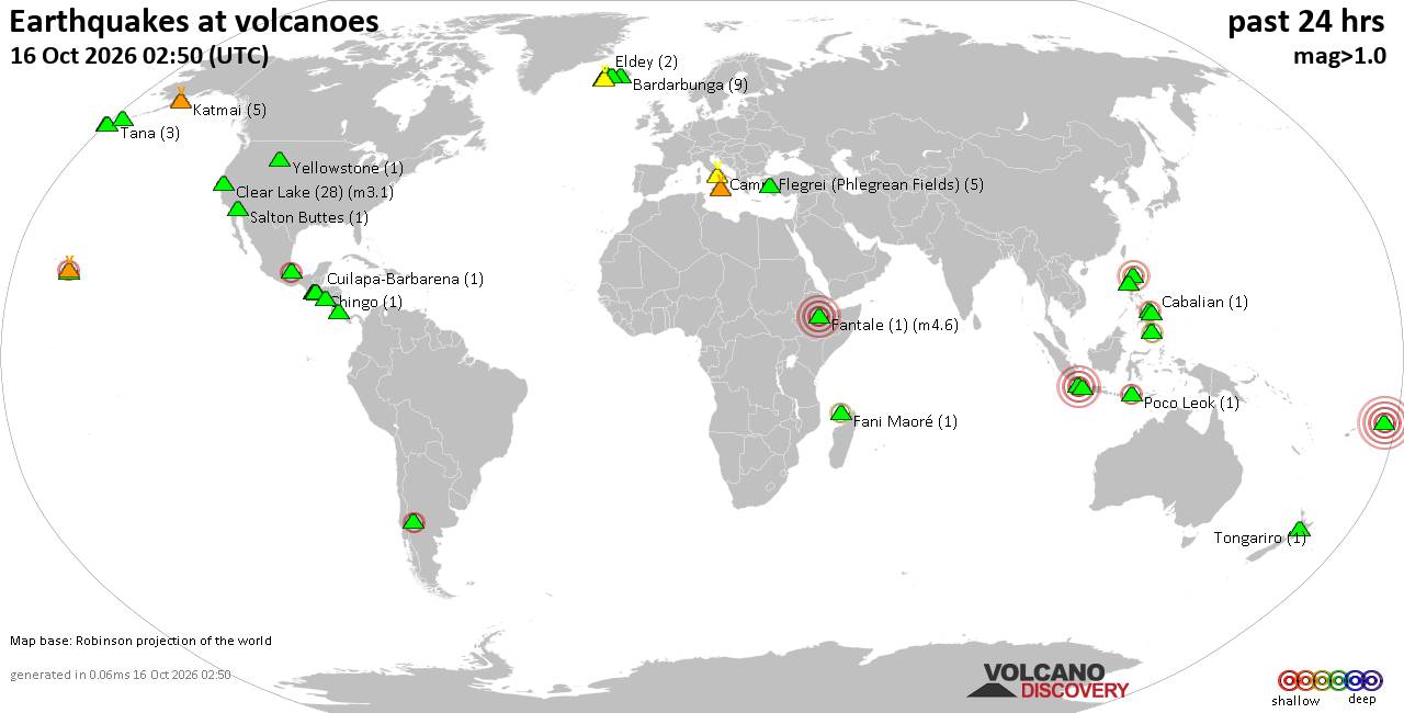
Volcano earthquake report for Friday, 16 October 2026
• M 3.1 - 202 km SE of Atka, Alaska
• M 2.3 - 40 km E of Chase, Alaska
• M 3.6 - 2 km NW of Knik, Alaska
• M 3.3 - 65 km NE of Punta Cana, Dominican Republic
• M 3.6 - 282 km ESE of Chiniak, Alaska
|

#564055
Fri 29 May 2020 07:07:PM
|
Joined: Feb 2001
Posts: 678,977
Launch Director
|
|
Launch Director
Joined: Feb 2001
Posts: 678,977 |
Bangladesh is on track to lose all of its forestland in the next 35-40 years, leading to a rise in CO2 emissions and subsequent climate change, researchers said. However, that is just one of the significant land-use changes that the country is experiencing. A new study uses satellite and census data to quantify and unravel how physical and economic factors drive land-use changes. Understanding this relationship can inform climate policy at the national scale in Bangladesh and beyond. Source: Integrating satellite and socioeconomic data to improve climate change policy
|
|



CMS The Best Conveyancing solicitors conveyancing quotes throughout the UK
For any webhosting enquiries please email webmaster@aus-city.com
|
|
Entire Thread
|
 Integrating satellite and socioeconomic data to improve climate change policy
|
Webmaster
|
Fri 29 May 2020 07:07:PM
|
|
Forums60
Topics879,145
Posts913,942
Members2,960
| |
Most Online102,106
Jul 10th, 2026
|
|
|
|
|

|









































