|
|
|
0 members (),
1,454
guests, and
22
robots. |
|
Key:
Admin,
Global Mod,
Mod
|
|
S |
M |
T |
W |
T |
F |
S |
|
|
|
|
|
1
|
2
|
3
|
|
4
|
5
|
6
|
7
|
8
|
9
|
10
|
|
11
|
12
|
13
|
14
|
15
|
16
|
17
|
|
18
|
19
|
20
|
21
|
22
|
23
|
24
|
|
25
|
26
|
27
|
28
|
29
|
30
|
31
|
|
There are no members with birthdays on this day. |
|
|
failure
by Webmaster - Fri 23 Jan 2026 04:00:AM
|
|
|
|
|
|
|
|
|
|
|
|
|
|
|
|
|

#707185
Thu 21 Dec 2023 09:58:AM
|
Joined: Feb 2001
Posts: 381,904
Launch Director
|
OP

Launch Director
Joined: Feb 2001
Posts: 381,904 |
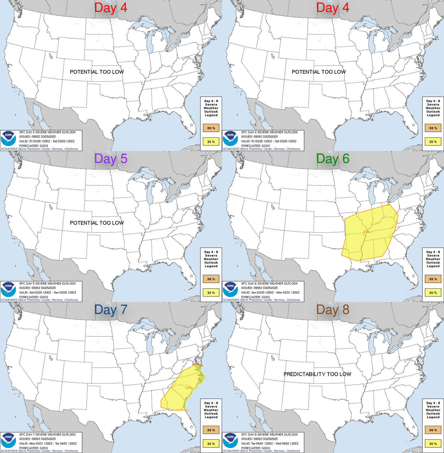
SPC Dec 21, 2023 Day 4-8 Severe Weather OutlookDay 4-8 Outlook 
Day 4-8 Convective Outlook
NWS Storm Prediction Center Norman OK
0355 AM CST Thu Dec 21 2023

Valid 241200Z - 291200Z

...DISCUSSION...
Upper troughing is expected to extend from the High Plains into
central Mexico early D4/Sunday morning. A series of shortwave
troughs are expected to progress through this trough as it gradually
shifts eastward. The lead shortwave in this series is expected to
move across the Southeast on D5/Monday. Modest moisture will be in
place and some isolated thunderstorms are possible over the
Southeast as this shortwave moves through. Most of the stronger
mid-level flow will lag to the west of this wave, but some overlap
between the modest buoyancy and shear could support a low-coverage
severe potential.

By D6/Tuesday, the evolution of these shortwaves will likely have
resulted in the development of a mature mid-latitude cyclone
centered over the Lower MO Valley/Mid MS Valley vicinity. As this
system matures, an attendant cold front is expected to push eastward
across the TN Valley and Southeast on D5/Monday and D6/Tuesday.
Buoyancy will likely be limited ahead of this front, but some
isolated thunderstorms are still possible, particularly across the
Southeast.
Read morehttps://www.spc.noaa.gov/products/exper/day4-8/
|
|


CMS The Best Conveyancing solicitors conveyancing quotes throughout the UK
For any webhosting enquiries please email webmaster@aus-city.com
|
|
Entire Thread
|

 SPC Dec 21, 2023 Day 4-8 Severe Weather Outlook
|
Webmaster
|
Thu 21 Dec 2023 09:58:AM
|
|
Forums60
Topics758,231
Posts792,942
Members2,958
| |
Most Online17,963
Jan 15th, 2026
|
|
|
|
|
Copyright 1996 - 2026 by David Cottle. Designed by David Bate Jr. All Rights Reserved.
By using this forum, the user agrees not to transfer any data or technical information received under the agreement, to any other entity without the express approval of the AUS-CITY Forum Admins and/or authors of individual posts (Forum Admins and DoD/USSPACECOM for the analysis of satellite tracking data).
Two-line elements (TLE) and all other satellite data presented and distributed via this forum and e-mail lists of AUS-CITY are distributed with permission from DoD/USSTRATCOM.


Reprise Hosting


|

|