|
0 members (),
2,985
guests, and
28
robots. |
|
Key:
Admin,
Global Mod,
Mod
|
|
S |
M |
T |
W |
T |
F |
S |
|
|
|
1
|
2
|
3
|
4
|
5
|
|
6
|
7
|
8
|
9
|
10
|
11
|
12
|
|
13
|
14
|
15
|
16
|
17
|
18
|
19
|
|
20
|
21
|
22
|
23
|
24
|
25
|
26
|
|
27
|
28
|
29
|
30
|
|
|
|
|
There are no members with birthdays on this day. |
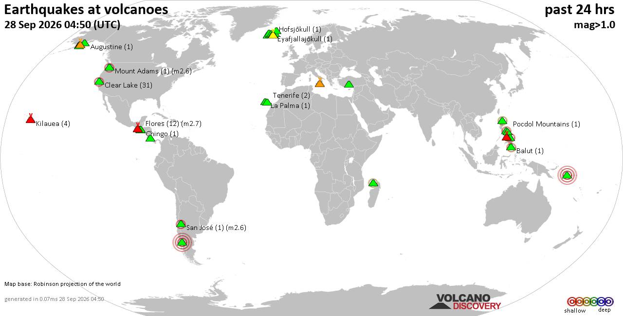
Volcano earthquake report for Monday, 28 September 2026
• M 1.3 - 17 km WNW of Orangeville, Utah
• M 3.3 - 21 km W of Preston, Nevada
• M 0.5 - 8 km E of North Logan, Utah
• M 4.4 - Fiji region
• M 5.4 - north of Svalbard
|

#735293
Mon 09 Sep 2024 02:32:AM
|
Joined: Feb 2001
Posts: 678,977
Launch Director
|
|
Launch Director
Joined: Feb 2001
Posts: 678,977 |
NHC Atlantic Outlook
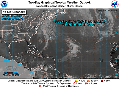
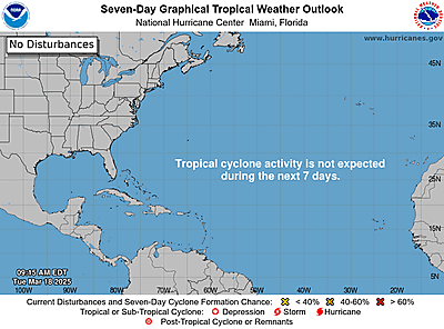
ZCZC MIATWOAT ALL
TTAA00 KNHC DDHHMM
Tropical Weather Outlook
NWS National Hurricane Center Miami FL
800 PM EDT Sun Sep 8 2024
For the North Atlantic...Caribbean Sea and the Gulf of Mexico:
Active Systems:
The National Hurricane Center is issuing advisories on Potential
Tropical Cyclone Six, located over the southwestern Gulf of Mexico.
* Formation chance through 48 hours...high...90 percent.
* Formation chance through 7 days...high...90 percent.
1. Central Tropical Atlantic (AL92):
Showers and thunderstorms associated with an area of low pressure
over the central tropical Atlantic have changed little in
organization since earlier today. Environmental conditions appear
conducive for additional development during the next couple of days,
and a tropical depression is likely to form during that time while
the system meanders over the central tropical Atlantic. By the
middle of the week, the system should begin moving more westward at
around 10 mph.
* Formation chance through 48 hours...medium...60 percent.
* Formation chance through 7 days...high...70 percent.
2. Eastern and Central Tropical Atlantic:
A trough of low pressure located several hundred miles
west-southwest of the Cabo Verde Islands is producing a broad area
of disorganized showers and thunderstorms. This system is expected
to move little during the next couple of days until it potentially
interacts with a tropical wave that is forecast to move off the west
coast of Africa on Monday. Environmental conditions thereafter are
expected to be favorable for gradual development of this system, and
a tropical depression could form during the middle or latter part of
the week while the system begins moving slowly west-northwestward.
* Formation chance through 48 hours...low...near 0 percent.
* Formation chance through 7 days...medium...50 percent.
Public Advisories on Potential Tropical Cyclone Six are issued
under WMO header WTNT31 KNHC and under AWIPS header MIATCPAT1.
Forecast/Advisories on Potential Tropical Cyclone Six are issued
under WMO header WTNT21 KNHC and under AWIPS header MIATCMAT1.
Forecaster Hagen
|
|



CMS The Best Conveyancing solicitors conveyancing quotes throughout the UK
For any webhosting enquiries please email webmaster@aus-city.com
|
|
Entire Thread
|
 NHC Atlantic Outlook
|
Webmaster
|
Mon 09 Sep 2024 02:32:AM
|
|
Forums60
Topics844,925
Posts879,720
Members2,960
| |
Most Online102,106
Jul 10th, 2026
|
|
|





































