|
|
|
0 members (),
1,731
guests, and
26
robots. |
|
Key:
Admin,
Global Mod,
Mod
|
|
S |
M |
T |
W |
T |
F |
S |
|
|
|
|
|
1
|
2
|
3
|
|
4
|
5
|
6
|
7
|
8
|
9
|
10
|
|
11
|
12
|
13
|
14
|
15
|
16
|
17
|
|
18
|
19
|
20
|
21
|
22
|
23
|
24
|
|
25
|
26
|
27
|
28
|
29
|
30
|
31
|
|
There are no members with birthdays on this day. |
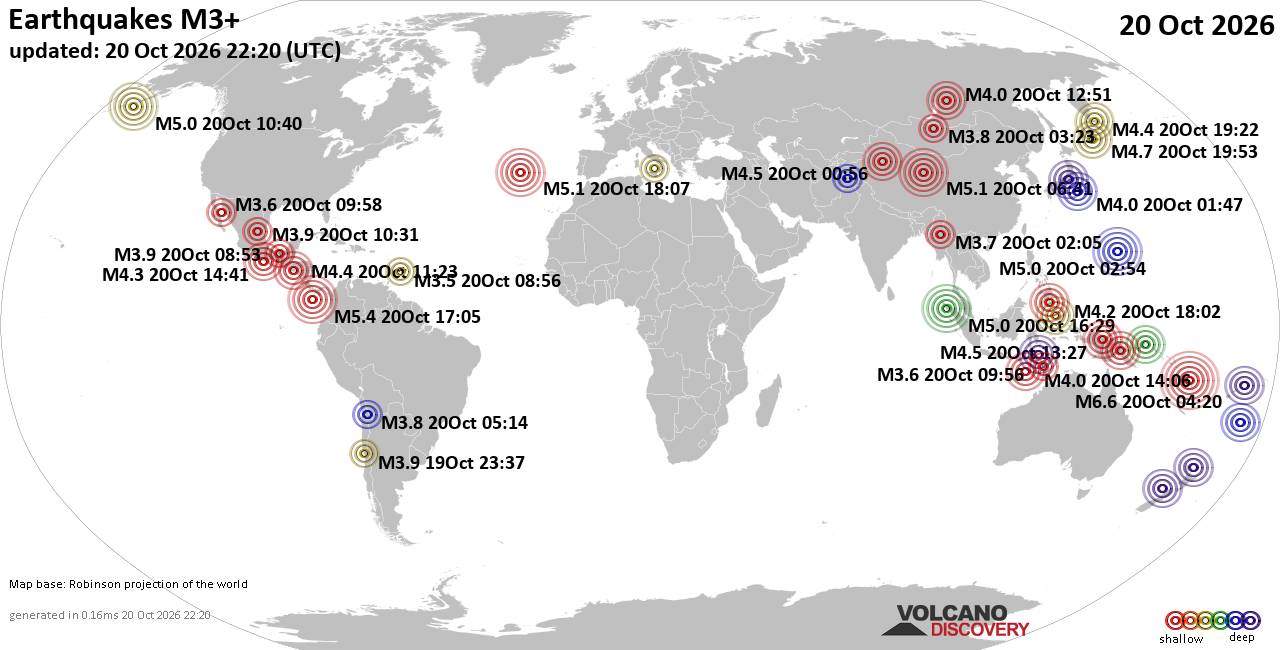
World Earthquake Report for Tuesday, 20 October 2026
• M 2.1 - 5 km SSW of Pāhala, Hawaii
• M 1.5 - 15 km NNE of Milford, Utah
• M 0.9 - 6 km WNW of Cobb, CA
• M 4.4 - 52 km S of Champerico, Guatemala
• M 1.9 - 8 km N of Redwood Valley, CA
|

#742823
Wed 30 Oct 2024 05:37:PM
|
Joined: Feb 2001
Posts: 678,977
Launch Director
|
|
Launch Director
Joined: Feb 2001
Posts: 678,977 |
000 ABNT20 KNHC 301737 TWOAT Tropical Weather Outlook NWS National Hurricane Center Miami FL 200 PM EDT Wed Oct 30 2024 For the North Atlantic...Caribbean Sea and the Gulf of Mexico: Southwestern Caribbean Sea: A broad area of low pressure is likely to develop over the southwestern Caribbean Sea by the end of the week. Gradual development is possible thereafter, and a tropical depression could form over the weekend or early next week while the system drifts generally northward over the central or western Caribbean Sea. * Formation chance through 48 hours...low...near 0 percent. * Formation chance through 7 days...medium...40 percent. $$ Forecaster Beven Source: Atlantic Tropical Weather Outlook
|
|



CMS The Best Conveyancing solicitors conveyancing quotes throughout the UK
For any webhosting enquiries please email webmaster@aus-city.com
|
|
Entire Thread
|
 Atlantic Tropical Weather Outlook |
Webmaster
|
Wed 30 Oct 2024 05:37:PM
|
|
Forums60
Topics885,562
Posts920,359
Members2,960
| |
Most Online102,106
Jul 10th, 2026
|
|
|
|
|

|









































