|
|
|
0 members (),
8,180
guests, and
24
robots. |
|
Key:
Admin,
Global Mod,
Mod
|
|
S |
M |
T |
W |
T |
F |
S |
|
1
|
2
|
3
|
4
|
5
|
6
|
7
|
|
8
|
9
|
10
|
11
|
12
|
13
|
14
|
|
15
|
16
|
17
|
18
|
19
|
20
|
21
|
|
22
|
23
|
24
|
25
|
26
|
27
|
28
|
|
There are no members with birthdays on this day. |

#749625
Fri 03 Jan 2025 09:24:PM
|
Joined: Feb 2001
Posts: 381,904
Launch Director
|
OP

Launch Director
Joined: Feb 2001
Posts: 381,904 |
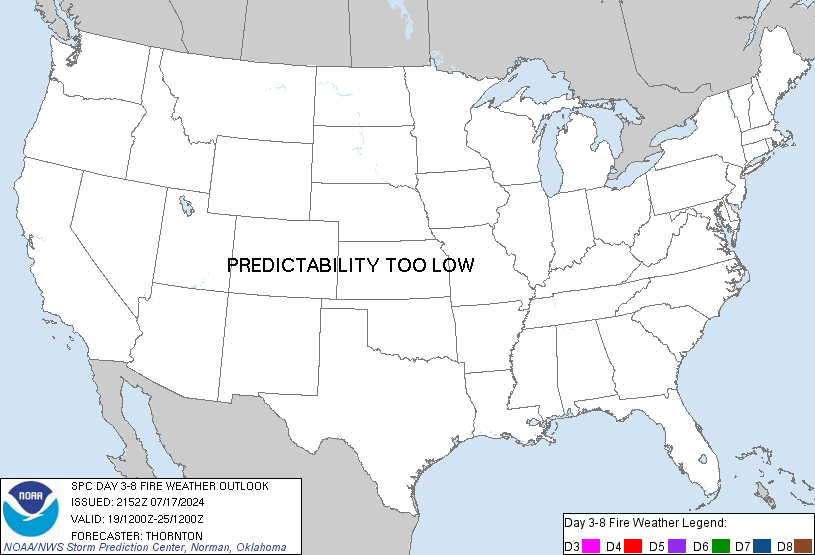
SPC Day 3-8 Fire Weather OutlookSPC Day 3-8 Fire Weather Outlook 
Day 3-8 Fire Weather Outlook
NWS Storm Prediction Center Norman OK
0318 PM CST Fri Jan 03 2025

Valid 051200Z - 111200Z

Fire weather concerns are expected to primarily be focused along the
southern California coast during the middle of the upcoming work
week as a strong upper trough translates across the southwestern
CONUS. Elsewhere, a combination of cool conditions, precipitation
chances, and/or poor fuel status limits confidence in additional
fire weather concerns.

...D5/Tue to D7/Thu - southern California Coast...
Long-range ensemble guidance continues to depict the rapid
amplification of an upper trough over the southern Great Basin/West
Coast during the D5/Tue to D6/Wed time frame. A combination of an
unseasonably strong surface high (near the 90th percentile for early
Jan) across the northern Great Basin in the wake of the amplifying
wave and increasing north/northeasterly mid/upper-level flow will
promote increasing offshore winds along the southern CA coast.
Latest deterministic solutions hint that the onset of the offshore
flow regime may be as early as Tuesday morning and could last well
into Thursday night with a peak in intensity sometime on Wednesday.

This pattern is typical of past critical fire weather regimes and
likewise will feature fire weather concerns, including the potential
for high-end critical conditions. Global deterministic solutions
show reasonably good agreement in the passage of the mid-level jet
max on D6/Wed, which aligns well with recent GEFS/ECENS ensemble
means, and will likely coincide with peak offshore winds and maximum
downslope warming/drying. As such, confidence in critical fire
weather conditions is sufficiently high to introduce higher, 70%
risk probabilities for D6/Wednesday. Critical fire weather
conditions remain possible on D5/Tue through late D7/Thu, and higher
risk probabilities may be required in subsequent forecasts as
confidence in the fire weather threat increases.

..Moore.. 01/03/2025

...Please see www.spc.noaa.gov/fire for graphic product...
Read morehttps://www.spc.noaa.gov/products/exper/fire_wx/
|
|


CMS The Best Conveyancing solicitors conveyancing quotes throughout the UK
For any webhosting enquiries please email webmaster@aus-city.com
|
|
Entire Thread
|

 SPC Day 3-8 Fire Weather Outlook
|
Webmaster
|
Fri 03 Jan 2025 09:24:PM
|
|
Forums60
Topics759,926
Posts794,646
Members2,958
| |
Most Online17,963
Jan 15th, 2026
|
|
|
|
|
Copyright 1996 - 2026 by David Cottle. Designed by David Bate Jr. All Rights Reserved.
By using this forum, the user agrees not to transfer any data or technical information received under the agreement, to any other entity without the express approval of the AUS-CITY Forum Admins and/or authors of individual posts (Forum Admins and DoD/USSPACECOM for the analysis of satellite tracking data).
Two-line elements (TLE) and all other satellite data presented and distributed via this forum and e-mail lists of AUS-CITY are distributed with permission from DoD/USSTRATCOM.


Reprise Hosting


|

|