|
|
|
1 members (Alisa),
2,213
guests, and
27
robots. |
|
Key:
Admin,
Global Mod,
Mod
|
|
S |
M |
T |
W |
T |
F |
S |
|
|
|
1
|
2
|
3
|
4
|
5
|
|
6
|
7
|
8
|
9
|
10
|
11
|
12
|
|
13
|
14
|
15
|
16
|
17
|
18
|
19
|
|
20
|
21
|
22
|
23
|
24
|
25
|
26
|
|
27
|
28
|
29
|
30
|
|
|
|
|
There are no members with birthdays on this day. |
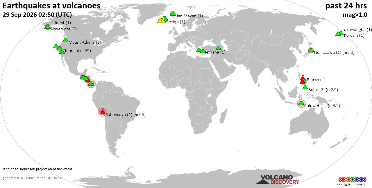
Volcano earthquake report for Tuesday, 29 September 2026
• M 2.5 - 13 km S of Fern Forest, Hawaii
• M 2.0 - 12 km SSE of Stonewall Gap, Colorado
• M 2.2 - 42 km NNE of Covelo, CA
• M 1.2 - 3 km W of Dublin, CA
• M 1.7 - 2 km NW of Hollister, CA
|

#763797
Sun 01 Jun 2025 11:00:AM
|
Joined: Feb 2001
Posts: 678,977
Launch Director
|
|
Launch Director
Joined: Feb 2001
Posts: 678,977 |
000 ABPZ20 KNHC 011100 TWOEP Tropical Weather Outlook NWS National Hurricane Center Miami FL 500 AM PDT Sun Jun 1 2025 For the eastern and central North Pacific east of 180 longitude: South of Central America and Southern Mexico: An area of low pressure is forecast to form offshore of the coast of Central America and southern Mexico during the middle to late portions of this week. Once it forms, the disturbance is expected to move generally westward to west-northwestward around 10 mph. Environmental conditions are expected to be at least marginally conducive for slow development of this system, and a tropical depression could form by the end of the week. * Formation chance through 48 hours...low...near 0 percent. * Formation chance through 7 days...medium...40 percent. $$ Forecaster D. Zelinsky Source: Eastern North Pacific Tropical Weather Outlook
|
|



CMS The Best Conveyancing solicitors conveyancing quotes throughout the UK
For any webhosting enquiries please email webmaster@aus-city.com
|
|
Entire Thread
|
 Eastern North Pacific Tropical Weather Outlook
|
Webmaster
|
Sun 01 Jun 2025 11:00:AM
|
|
Forums60
Topics846,630
Posts881,425
Members2,960
| |
Most Online102,106
Jul 10th, 2026
|
|
|
|
|

|









































