|
|
|
0 members (),
331
guests, and
27
robots. |
|
Key:
Admin,
Global Mod,
Mod
|
|
S |
M |
T |
W |
T |
F |
S |
|
|
|
|
|
|
1
|
2
|
|
3
|
4
|
5
|
6
|
7
|
8
|
9
|
|
10
|
11
|
12
|
13
|
14
|
15
|
16
|
|
17
|
18
|
19
|
20
|
21
|
22
|
23
|
|
24
|
25
|
26
|
27
|
28
|
29
|
30
|
|
31
|
|
|
|
|
|
|
|
There are no members with birthdays on this day. |
|
|
Joined: Feb 2001
Posts: 381,904
Launch Director
|
OP

Launch Director
Joined: Feb 2001
Posts: 381,904 |
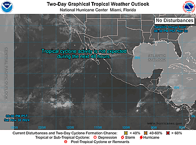
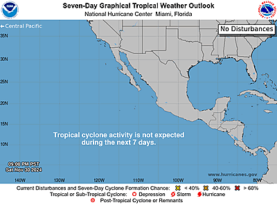
NHC Eastern North Pacific Outlook


ZCZC MIATWOEP ALL
TTAA00 KNHC DDHHMM
Tropical Weather Outlook
NWS National Hurricane Center Miami FL
1100 PM PDT Fri Aug 1 2025
For the eastern and central North Pacific east of 180 longitude:
Active Systems:
The National Hurricane Center is issuing advisories on Hurricane
Gil, located well west-southwest of the southern Baja California
peninsula. The Central Pacific Hurricane Center has issued its final
advisory on Tropical Depression Iona, which is now located west of
the International Date Line, well west-southwest of the Hawaiian
Islands. Future advisories will be issued by RSMC Tokyo, Japan. For
U.S. interests, refer to Department of Defense warnings issued by
the Joint Typhoon Warning Center in Honolulu, Hawaii.
1. Western East Pacific:
An area of low pressure is expected to form well southwest of
southwestern Mexico within the next day or two. Environmental
conditions appear conducive for some gradual development of this
system, and a tropical depression is likely to form late this
weekend or early next week as the system moves west-northwestward at
10 to 15 mph.
* Formation chance through 48 hours...medium...50 percent.
* Formation chance through 7 days...high...80 percent.
2. South of Southern Mexico:
An area of low pressure is forecast to form offshore of the coast of
Central America and southern Mexico by the middle part of next week.
Thereafter, environmental conditions appear conducive for some
development, and a tropical depression could form late next week as
the system moves generally west-northwestward at 10 to 15 mph.
* Formation chance through 48 hours...low...near 0 percent.
* Formation chance through 7 days...medium...40 percent.
Forecaster Gibbs
|
|


CMS The Best Conveyancing solicitors conveyancing quotes throughout the UK
For any webhosting enquiries please email webmaster@aus-city.com
|
|
Entire Thread
|

 NHC Eastern North Pacific Outlook
|
Webmaster
|
8 hours ago
|
|
Forums60
Topics733,349
Posts767,972
Members2,958
| |
Most Online4,158
Jun 21st, 2024
|
|
|
|
|
Copyright 1996 - 2024 by David Cottle. Designed by David Bate Jr. All Rights Reserved.
By using this forum, the user agrees not to transfer any data or technical information received under the agreement, to any other entity without the express approval of the AUS-CITY Forum Admins and/or authors of individual posts (Forum Admins and DoD/USSPACECOM for the analysis of satellite tracking data).
Two-line elements (TLE) and all other satellite data presented and distributed via this forum and e-mail lists of AUS-CITY are distributed with permission from DoD/USSTRATCOM.


Reprise Hosting


|

|