|
|
|
0 members (),
330
guests, and
16
robots. |
|
Key:
Admin,
Global Mod,
Mod
|
|
S |
M |
T |
W |
T |
F |
S |
|
|
1
|
2
|
3
|
4
|
5
|
6
|
|
7
|
8
|
9
|
10
|
11
|
12
|
13
|
|
14
|
15
|
16
|
17
|
18
|
19
|
20
|
|
21
|
22
|
23
|
24
|
25
|
26
|
27
|
|
28
|
29
|
30
|
|
|
|
|
|
There are no members with birthdays on this day. |
|
|
Joined: Feb 2001
Posts: 381,904
Launch Director
|
OP

Launch Director
Joined: Feb 2001
Posts: 381,904 |
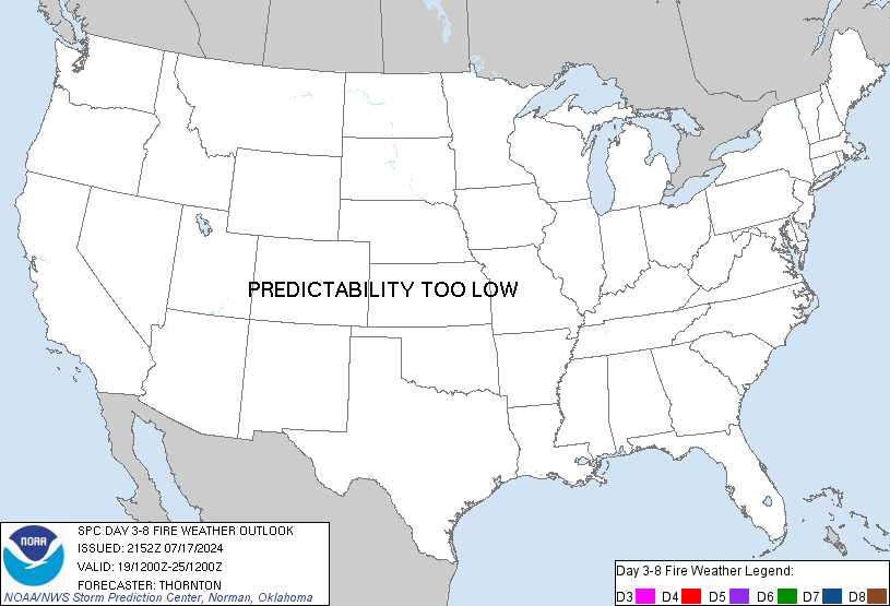
SPC Day 3-8 Fire Weather OutlookSPC Day 3-8 Fire Weather Outlook 
Day 3-8 Fire Weather Outlook
NWS Storm Prediction Center Norman OK
0443 PM CDT Tue Sep 09 2025

Valid 111200Z - 171200Z

A broad upper-level low over the western U.S. on Day 3/Thursday will
slowly pivot into the Central/Northern Plains by Day 6/Sunday. This
will gradually push showers and thunderstorm development east of the
Continental Divide early next week but not after leaving a trail of
wetting rains across the Northwest, Northern Rockies and northern
Great Basin, further mitigating fire weather concerns. Elevated
mid-level flow on the southeastern periphery of the low will promote
dry and breezy conditions across  northern AZ and southern UT on Day
3/Thursday, but marginal fuel dryness precludes introducing 40%
critical probabilities at this time. Lighter low-level winds in the
wake of the upper-low's exit into the Plains will subdue fire
weather concerns across the Southwest from Day 4/Friday into the
weekend.

Increasing ensemble member spread introduces considerable
uncertainty into the timing and position of the next Pacific trough
into the Northwest. However, with expected preceding precipitation
and its effect on fuels as well as the potential for additional
rainfall and cooler temperatures accompanying the next trough, fire
weather threat should remain muted in the Day 6-8/Sunday-Monday
period across the Northwest.

..Williams.. 09/09/2025

...Please see www.spc.noaa.gov/fire for graphic product...
Read morehttps://www.spc.noaa.gov/products/exper/fire_wx/
|
|


CMS The Best Conveyancing solicitors conveyancing quotes throughout the UK
For any webhosting enquiries please email webmaster@aus-city.com
|
|
Entire Thread
|

 SPC Day 3-8 Fire Weather Outlook
|
Webmaster
|
Yesterday at 09:48 PM
|
|
Forums60
Topics737,924
Posts772,547
Members2,958
| |
Most Online4,158
Jun 21st, 2024
|
|
|
|
|
Copyright 1996 - 2024 by David Cottle. Designed by David Bate Jr. All Rights Reserved.
By using this forum, the user agrees not to transfer any data or technical information received under the agreement, to any other entity without the express approval of the AUS-CITY Forum Admins and/or authors of individual posts (Forum Admins and DoD/USSPACECOM for the analysis of satellite tracking data).
Two-line elements (TLE) and all other satellite data presented and distributed via this forum and e-mail lists of AUS-CITY are distributed with permission from DoD/USSTRATCOM.


Reprise Hosting


|

|