|
|
|
0 members (),
623
guests, and
27
robots. |
|
Key:
Admin,
Global Mod,
Mod
|
|
S |
M |
T |
W |
T |
F |
S |
|
|
|
|
|
|
|
1
|
|
2
|
3
|
4
|
5
|
6
|
7
|
8
|
|
9
|
10
|
11
|
12
|
13
|
14
|
15
|
|
16
|
17
|
18
|
19
|
20
|
21
|
22
|
|
23
|
24
|
25
|
26
|
27
|
28
|
29
|
|
30
|
|
|
|
|
|
|
|
There are no members with birthdays on this day. |
|
|
Joined: Feb 2001
Posts: 381,904
Launch Director
|
OP

Launch Director
Joined: Feb 2001
Posts: 381,904 |
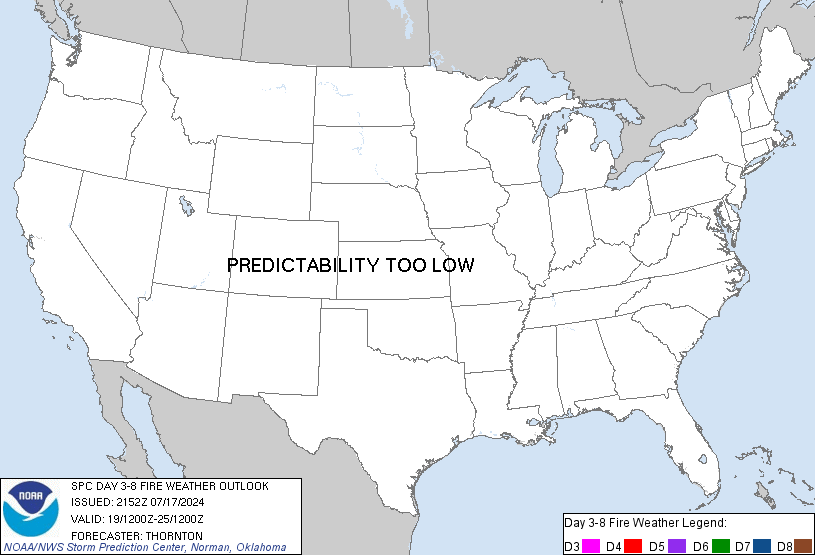
SPC Day 3-8 Fire Weather OutlookSPC Day 3-8 Fire Weather Outlook 
Day 3-8 Fire Weather Outlook
NWS Storm Prediction Center Norman OK
0341 PM CST Wed Nov 05 2025

Valid 071200Z - 131200Z

...Synopsis...
An amplifying upper-level ridge across the West with a complimentary
deepening trough over the eastern CONUS should evolve through the
weekend into early next week. At the surface, a strong cold front
will quickly push southeastward from the Northern Plains on Day
4/Saturday, reaching the Atlantic Coast by Day 5-6/Sunday-Monday.
Precipitation associated the cold front/parent surface low moving
through the Northeast and ushering in of a much colder air mass
across much of the central and eastern U.S., should mitigate fire
weather concerns for the broader region through early next week. The
focus for fire weather concerns should be concentrated across the
southern and central Plains where dry conditions will prevail
through the midweek.

...Days 3-5/Friday-Sunday...
Strong winds behind an expansive cold front and robust deep layer
northerly flow will move into the Central Plains by Day 4/Saturday,
reaching the TX Gulf Coast by early Day 5/Sunday. Winds combined
with a dry, continental air mass and dry fuels/cured grasses is
still expected to bring increased fire weather concerns to the
region over the weekend. 40% critical probabilities remain for
eastern CO/western KS on Saturday, with fire weather threat moving
into southern TX by Sunday.

...Days 6-8/Monday-Wednesday...
Dry offshore flow could support enhanced fire weather concerns
across the Deep South/Southeast on Day 6/Monday. However,
uncertainty in precipitation distribution over the weekend and thus
future fuel status, translates into a lower predictability for
Monday. Forecast guidance indicates a broad dry return flow pattern
across the Southern Plains developing on Day 7/Tuesday as lee
troughing across the High Plains deepens and surface high pressure
slides into the southeastern U.S. A 40% probability has been
introduced across central TX to highlight the increased fire weather
threat.

..Williams.. 11/05/2025

...Please see www.spc.noaa.gov/fire for graphic product...
Read morehttps://www.spc.noaa.gov/products/exper/fire_wx/
|
|


CMS The Best Conveyancing solicitors conveyancing quotes throughout the UK
For any webhosting enquiries please email webmaster@aus-city.com
|
|
Entire Thread
|

 SPC Day 3-8 Fire Weather Outlook
|
Webmaster
|
Yesterday at 09:46 PM
|
|
Forums60
Topics746,255
Posts780,907
Members2,958
| |
Most Online4,158
Jun 21st, 2024
|
|
|
|
|
Copyright 1996 - 2024 by David Cottle. Designed by David Bate Jr. All Rights Reserved.
By using this forum, the user agrees not to transfer any data or technical information received under the agreement, to any other entity without the express approval of the AUS-CITY Forum Admins and/or authors of individual posts (Forum Admins and DoD/USSPACECOM for the analysis of satellite tracking data).
Two-line elements (TLE) and all other satellite data presented and distributed via this forum and e-mail lists of AUS-CITY are distributed with permission from DoD/USSTRATCOM.


Reprise Hosting


|

|