|
|
|
0 members (),
1,837
guests, and
23
robots. |
|
Key:
Admin,
Global Mod,
Mod
|
|
S |
M |
T |
W |
T |
F |
S |
|
|
|
1
|
2
|
3
|
4
|
5
|
|
6
|
7
|
8
|
9
|
10
|
11
|
12
|
|
13
|
14
|
15
|
16
|
17
|
18
|
19
|
|
20
|
21
|
22
|
23
|
24
|
25
|
26
|
|
27
|
28
|
29
|
30
|
|
|
|
|
There are no members with birthdays on this day. |
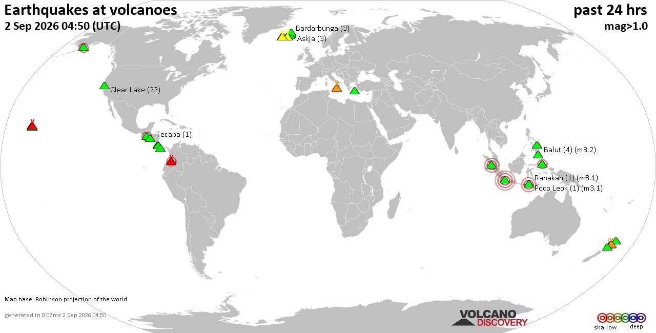
Volcano earthquake report for Wednesday, 2 September 2026
• Moderate mag. 4.0 earthquake - Estado de Oaxaca, Mexico, on Wednesday, Sep ...
• Moderate mag. 4.0 earthquake - Estado de Oaxaca, Mexico, on Wednesday, Sep ...
|

#785926
Sat 22 Nov 2025 08:54:PM
|
Joined: Feb 2001
Posts: 678,977
Launch Director
|
|
Launch Director
Joined: Feb 2001
Posts: 678,977 |
SPC Day 3-8 Fire Weather OutlookSPC Day 3-8 Fire Weather Outlook 
Day 3-8 Fire Weather Outlook
NWS Storm Prediction Center Norman OK
0249 PM CST Sat Nov 22 2025

Valid 241200Z - 301200Z

...Days 3-6/Monday-Thursday...
A mid-level wave and attendant surface trough/frontal features will
support showers and thunderstorms across the southern/central Plains
on Day 3/Monday, with precipitation expanding and moving into the
lower MS River Valley and OH River Valley by Day 4/Tuesday. A strong
cold front extending southwestward from a deepening surface low in
the Upper Midwest should sweep across much of the eastern U.S.
midweek, reaching the Atlantic Coast late Day 5/Wednesday period. A
dry, post-frontal flow regime could overlap with pockets of dry
fuels across southern GA, northern FL and the Carolinas on Day
6/Thursday, but some preceding rainfall associated with the frontal
passage should mitigate a more significant fire weather threat
across the Southeast. The lower confidence in spatial distribution
of expected rainfall and marginal fuel environment precludes
introduction of critical probabilities at this time.

...Days 6-8/Friday-Saturday...
A descending upper-level trough into the western U.S. and subsequent
lee cyclogenesis across the central/southern Plains could provide a
supportive environment for elevated winds and dry conditions across
the southern High Plains closer to Day 8/Saturday. However,
uncertainty in state of fuels from preceding rainfall through the
Day 2-3/Sunday-Monday period reduces predictability of critical fire
weather conditions late next week.

..Williams.. 11/22/2025

...Please see www.spc.noaa.gov/fire for graphic product...
Read morehttps://www.spc.noaa.gov/products/exper/fire_wx/
|
|



CMS The Best Conveyancing solicitors conveyancing quotes throughout the UK
For any webhosting enquiries please email webmaster@aus-city.com
|
|
Entire Thread
|
 SPC Day 3-8 Fire Weather Outlook
|
Webmaster
|
Sat 22 Nov 2025 08:54:PM
|
|
Forums60
Topics817,872
Posts852,665
Members2,960
| |
Most Online102,106
Jul 10th, 2026
|
|
|
|
|

|





































