|
|
|
0 members (),
1,347
guests, and
19
robots. |
|
Key:
Admin,
Global Mod,
Mod
|
|
S |
M |
T |
W |
T |
F |
S |
|
|
|
|
|
|
|
1
|
|
2
|
3
|
4
|
5
|
6
|
7
|
8
|
|
9
|
10
|
11
|
12
|
13
|
14
|
15
|
|
16
|
17
|
18
|
19
|
20
|
21
|
22
|
|
23
|
24
|
25
|
26
|
27
|
28
|
29
|
|
30
|
31
|
|
|
|
|
|
|
There are no members with birthdays on this day. |
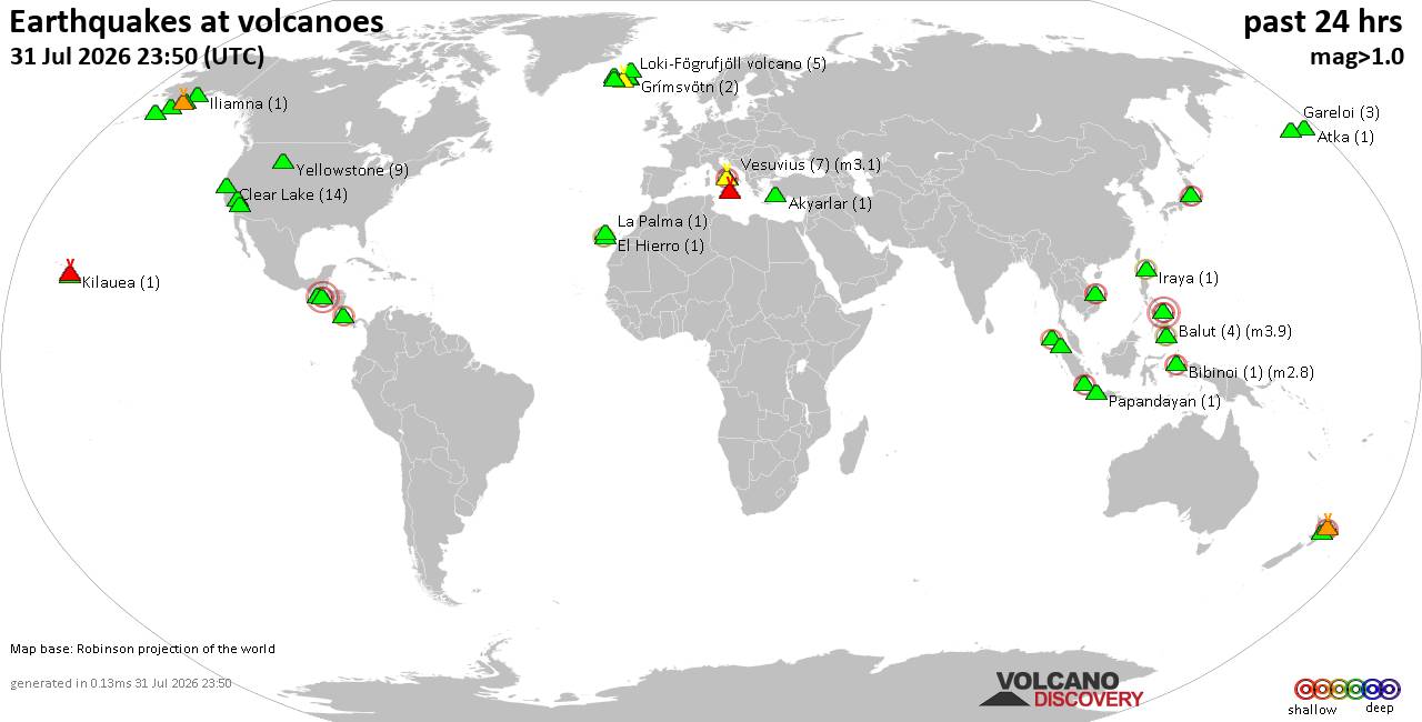
Volcano earthquake report for Friday, 31 Jul 2026
• World Earthquake Report for Friday, 31 July 2026
• Light mag. 3.9 earthquake - Philippine Sea, 57 km east of Sulangan, Philipp...
• Small tremor of magnitude 3.1 just reported 10 km southwest of Naples, Ital...
• Seismic-like event, possible earthquake, reported few minutes ago near Napl...
• Strong mag. 5.0 earthquake - 65 km northeast of Pu'er, Yunnan Sheng, China,...
|

#823696
Mon 06 Jul 2026 05:08:PM
|
Joined: Feb 2001
Posts: 678,976
Launch Director
|
OP

Launch Director
Joined: Feb 2001
Posts: 678,976 |
SPC Jul 6, 2026 1730 UTC Day 2 Convective OutlookSPC 1730Z Day 2 Outlook 
Day 2 Convective Outlook
NWS Storm Prediction Center Norman OK
1207 PM CDT Mon Jul 06 2026

Valid 071200Z - 081200Z

...THERE IS A SLIGHT RISK OF SEVERE THUNDERSTORMS OVER PARTS OF THE
NORTHERN PLAINS...

...SUMMARY...
Severe storms producing damaging winds are most likely over parts of
the Dakotas into Minnesota from Tuesday afternoon into the
overnight, with other isolated storms producing hail or wind over
the northern High Plain. Daytime storms may produce isolated wind
damage over northeast Texas and over Virginia and North Carolina.

...Dakotas into Minnesota...
A low-amplitude shortwave trough will move eastward across the
northern Plains Tuesday, with increasing mid and high level winds
aloft enhancing shear. Low pressure will develop over western SD and
NE, with a quasi-stationary front extending eastward across SD into
central MN. Southerly winds will aid boundary layer mixing with
strong heating from the central High Plains into central SD, while
upper 60s to near 70 F dewpoints persist near the stationary front
with easterly surface winds.

Areas of thunderstorms may occur early in the day from MT into ND
where elevated instability will exist. Some of this activity may
transition to surface based by afternoon, with a probable MCS
developing into northern SD and moving into western MN overnight.
MLCAPE of 2000-3000 along with a nocturnal low-level jet will
support corridors of wind damage. Other storms are likely during the
late afternoon near the low and extending southwestward within the
surface trough. Some of these cells may produce large hail along
with locally damaging gusts.

...Northeast Texas into western Louisiana...
A weak midlevel trough will remain from the lower to mid MS Valley
into eastern TX, with cooler temperatures aloft. Daytime heating and
70s F dewpoints may yield strong instability across the northeast TX
area, where clusters of storms appear likely after 20Z. Modest lapse
rates aloft and weak shear will favor robust but short duration
storms with locally damaging downbursts.

..Virginia and North Carolina...
Strong heating and weak westerlies aloft will induce a surface
trough across central VA into the Carolinas, with MUCAPE over 1500
J/kg likely developing. Storms may develop within this trough by
peak heating, and also over the higher terrain during the afternoon.
Locally damaging gusts may occur, especially with any congealing
clusters.

..Jewell.. 07/06/2026
Read morehttps://www.spc.noaa.gov/products/outlook/day2otlk_1730.html
|
|



CMS The Best Conveyancing solicitors conveyancing quotes throughout the UK
For any webhosting enquiries please email webmaster@aus-city.com
|
|
Entire Thread
|
 SPC Jul 6, 2026 1730 UTC Day 2 Convective Outlook
|
Webmaster
|
Mon 06 Jul 2026 05:08:PM
|
|
Forums60
Topics793,763
Posts828,549
Members2,960
| |
Most Online102,106
Jul 10th, 2026
|
|
|
|
|

|