|
0 members (),
1,725
guests, and
15
robots. |
|
Key:
Admin,
Global Mod,
Mod
|
|
S |
M |
T |
W |
T |
F |
S |
|
|
|
|
|
|
|
1
|
|
2
|
3
|
4
|
5
|
6
|
7
|
8
|
|
9
|
10
|
11
|
12
|
13
|
14
|
15
|
|
16
|
17
|
18
|
19
|
20
|
21
|
22
|
|
23
|
24
|
25
|
26
|
27
|
28
|
29
|
|
30
|
31
|
|
|
|
|
|
|
There are no members with birthdays on this day. |
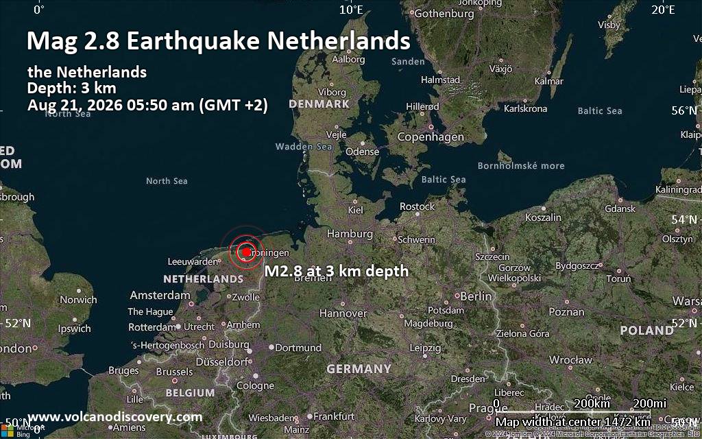
Small tremor of magnitude 2.8 just reported 20 km northeast of Groningen, Netherlands
|
|
|
Joined: Feb 2001
Posts: 678,976
Launch Director
|
OP

Launch Director
Joined: Feb 2001
Posts: 678,976 |
Issued at 1100 PM HST Sat Aug 22 2026 000
WTPA43 PHFO 230843
TCDCP3
Tropical Storm Moke Discussion Number 12
NWS Central Pacific Hurricane Center Honolulu HI CP022026
Issued by NWS National Hurricane Center Miami FL
1100 PM HST Sat Aug 22 2026
Moke's overall organization has changed little during the past
several hours. Persistent southwesterly vertical wind shear and dry
mid-level air have eroded much of the convection that was present
earlier, leaving the low-level circulation exposed. Convective
coverage remains limited, aside from occasional bursts of deep
convection near and north of the center. Recent satellite-derived
wind data showed peak winds of around 40 kt north of the
circulation, while recent Air Force Reserve Hurricane Hunter
aircraft data measured peak 850-mb flight-level winds of 46 kt in
the northeastern quadrant. These data, along with the overall
satellite presentation, support maintaining the initial intensity at
40 kt for this advisory.
Moke continues to move west-northwestward, with an initial motion of
280/10 kt. A general west-northwestward motion is expected to
continue during the next several days as a strong low- to mid-level
ridge remains to the north of the cyclone. This track should bring
the center of Moke a couple of hundred miles south of the Big Island
on Sunday and then well south of the smaller main Hawaiian Islands
thereafter. The track guidance remains in good agreement, and the
NHC forecast is very similar to the previous forecast. Despite the
center of Moke remaining south of the Hawaiian Islands, the cyclone
is expected to pass close enough to produce a period of gusty winds
and heavy rainfall across portions of the islands during the next
couple of days.
Moke has likely peaked in intensity over the past 24 h. Although
vertical wind shear is forecast to decrease somewhat during the next
day, an increasingly dry and stable surrounding environment should
limit any chances for additional strengthening and likely cause Moke
to begin a steady weakening trend on Sunday. Thereafter, increasing
vertical wind shear and continued entrainment of dry air should
cause Moke to weaken further through early next week. By around 96
h, both the GFS and ECMWF depict Moke becoming largely devoid of
deep convection, and the cyclone could degenerate into a remnant low
by Wednesday, then dissipate by day 5. The latest NHC intensity
forecast is similar to the previous advisory and lies near the
middle of the guidance envelope.
Key Messages:
1. Heavy rainfall associated with Tropical Storm Moke will begin to
impact the Big Island of Hawaii early Sunday morning. Rain will then
spread westward across the remainder of the Hawaiian Islands through
Monday. This rainfall may produce life-threatening flooding and
mudslides for the windward and southeast Big Island, especially in
steep terrain and over areas that were affected recently by Lala.
2. Although the strongest winds associated with Moke are expected to
pass south of the Hawaiian Islands, strong gusty winds are likely,
particularly in areas within and downslope of higher terrain.
FORECAST POSITIONS AND MAX WINDS
INIT 23/0900Z 15.2N 153.5W 40 KT 45 MPH
12H 23/1800Z 15.4N 155.4W 40 KT 45 MPH
24H 24/0600Z 15.8N 158.0W 35 KT 40 MPH
36H 24/1800Z 16.3N 160.7W 35 KT 40 MPH
48H 25/0600Z 17.0N 163.2W 35 KT 40 MPH
60H 25/1800Z 17.6N 165.7W 35 KT 40 MPH
72H 26/0600Z 18.0N 168.5W 35 KT 40 MPH
96H 27/0600Z 19.1N 173.8W 30 KT 35 MPH...POST-TROP/REMNT LOW
120H 28/0600Z...DISSIPATED
$$
Forecaster Gibbs Source: Tropical Storm Moke Forecast Discussion Number 12
|
|



CMS The Best Conveyancing solicitors conveyancing quotes throughout the UK
For any webhosting enquiries please email webmaster@aus-city.com
|
|
Entire Thread
|

 Tropical Storm Moke Forecast Discussion Number 12
|
Webmaster
|
2 hours ago
|
|
Forums60
Topics800,795
Posts835,585
Members2,960
| |
Most Online102,106
Jul 10th, 2026
|
|
|





































