|
0 members (),
1,076
guests, and
21
robots. |
|
Key:
Admin,
Global Mod,
Mod
|
|
S |
M |
T |
W |
T |
F |
S |
|
|
|
|
|
|
|
1
|
|
2
|
3
|
4
|
5
|
6
|
7
|
8
|
|
9
|
10
|
11
|
12
|
13
|
14
|
15
|
|
16
|
17
|
18
|
19
|
20
|
21
|
22
|
|
23
|
24
|
25
|
26
|
27
|
28
|
29
|
|
30
|
31
|
|
|
|
|
|
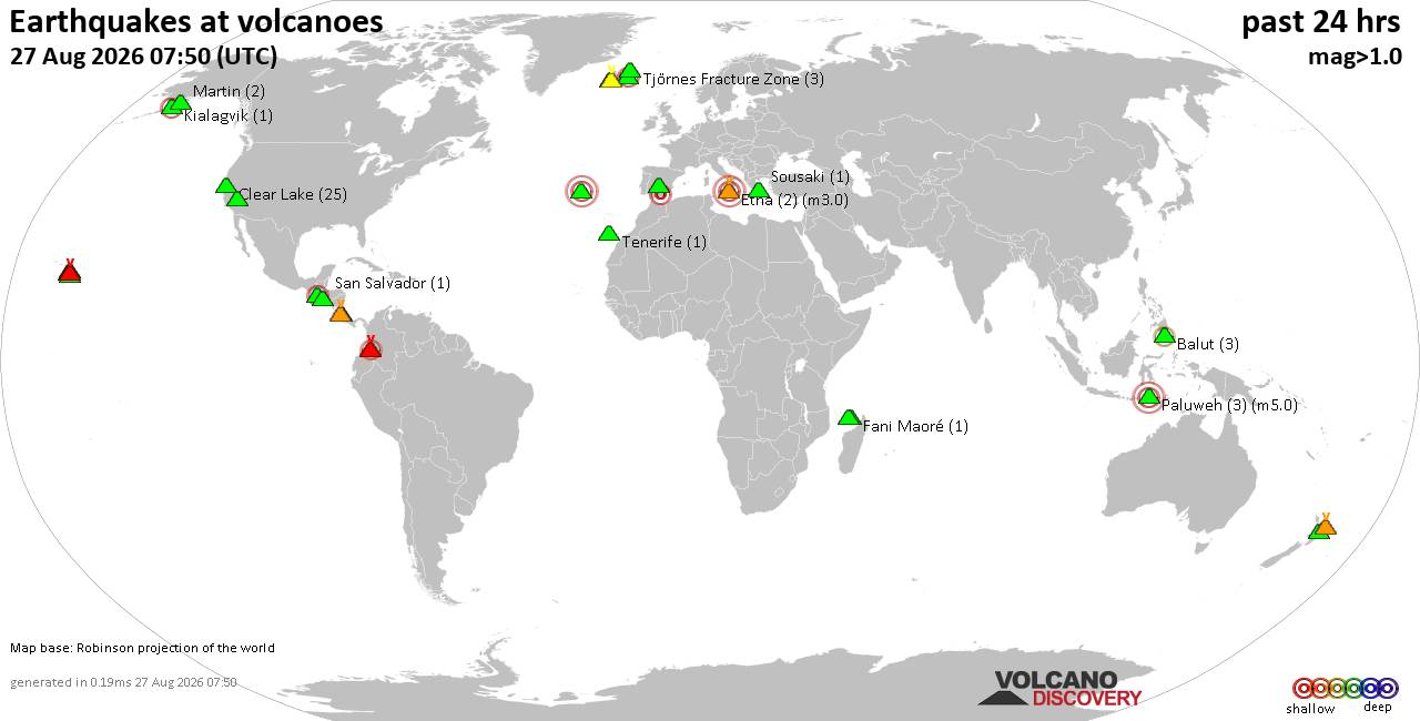
Volcano earthquake report for Thursday, 27 Aug 2026
• Strong mag. 5.2 earthquake - 334 km south of Ogasawara, Tokyo, Japan, on Th...
• Seismic-like event, possible earthquake, reported minutes ago near Granada,...
• World Earthquake Report for Thursday, 27 August 2026
• Possible earthquake reported near Acapulco de Juárez, Guerrero, Mexico, a ...
• Moderate mag. 4.3 earthquake - 16 km southeast of Acapulco de Juárez, Esta...
|
|
|
Joined: Feb 2001
Posts: 678,977
Launch Director
|
|
Launch Director
Joined: Feb 2001
Posts: 678,977 |
SPC Day 2 Fire Weather OutlookSPC Day 2 Fire Weather Outlook 
Day 2 Fire Weather Outlook
NWS Storm Prediction Center Norman OK
0104 AM CDT Thu Aug 27 2026

Valid 281200Z - 291200Z

...Synopsis...
An upper-level trough in the Pacific Northwest and attendant
enhanced southwest flow will maintain fire weather concerns for
portions of northern CA into southern OR, as well as northwestern MT
ushering in dry and breezy conditions. Farther south, offshore flow
will support elevated fire weather conditions across portions of
southern CA. A moisture plume from former tropical storm Iselle will
support increasing cloud cover and probabilities for wetting rains
across portions of the Great Basin late Friday into Friday night,
which should limit impacts from cloud to ground lightning.

...Sacramento Valley/northeastern California and southern Oregon...
Broad southwest flow aloft attributed to the Pacific Northwest
upper-level wave and resultant surface troughing east of the
Cascades will evolve Friday. Farther south, an expanding moisture
plume from the Pacific will begin to infiltrate into central CA and
Great Basin. A corridor of dry and breezy conditions will likely
exist between the upper-level trough and increasing mid/upper cloud
cover, resulting in elevated fire weather concerns from the northern
Sacramento Valley northeastward into southern OR. Southwest winds of
around 15 mph and RH of 10-20% will combine with dry fuels to
support an elevated fire weather threat.

...Northwestern Montana...
Dry, downslope flow aided by a surface trough across eastern MT and
broad southwest flow aloft, will affect mainly the adjacent high
plains region east of the Lewis and Flathead Ranges Friday. West
winds of around 15 mph with higher gusts and RH falling to 15-20%
will promote an elevated fire threat amid dry fuels.

...Southern California...
Well above normal afternoon temperatures in the 90s and 100s across
southern California will be followed by a dry, northerly wind
component as a weak offshore flow pattern continues across the
region. Wind speeds of 10-15 mph will be concentrated in favored
terrain gaps and downslope areas in Santa Barbara, Ventura and LA
counties Friday evening and night accompanied by low relative
humidity over an increasingly dry fuelscape.

..Williams.. 08/27/2026

...Please see www.spc.noaa.gov/fire for graphic product...
Read morehttps://www.spc.noaa.gov/products/fire_wx/fwdy2.html
|
|



CMS The Best Conveyancing solicitors conveyancing quotes throughout the UK
For any webhosting enquiries please email webmaster@aus-city.com
|
|
Entire Thread
|

 SPC Day 2 Fire Weather Outlook
|
Webmaster
|
5 hours ago
|
|
Forums60
Topics813,288
Posts848,081
Members2,960
| |
Most Online102,106
Jul 10th, 2026
|
|
|





































