|
|
|
1 members (Webmaster),
3,171
guests, and
29
robots. |
|
Key:
Admin,
Global Mod,
Mod
|
|
S |
M |
T |
W |
T |
F |
S |
|
|
|
1
|
2
|
3
|
4
|
5
|
|
6
|
7
|
8
|
9
|
10
|
11
|
12
|
|
13
|
14
|
15
|
16
|
17
|
18
|
19
|
|
20
|
21
|
22
|
23
|
24
|
25
|
26
|
|
27
|
28
|
29
|
30
|
|
|
|
|
There are no members with birthdays on this day. |
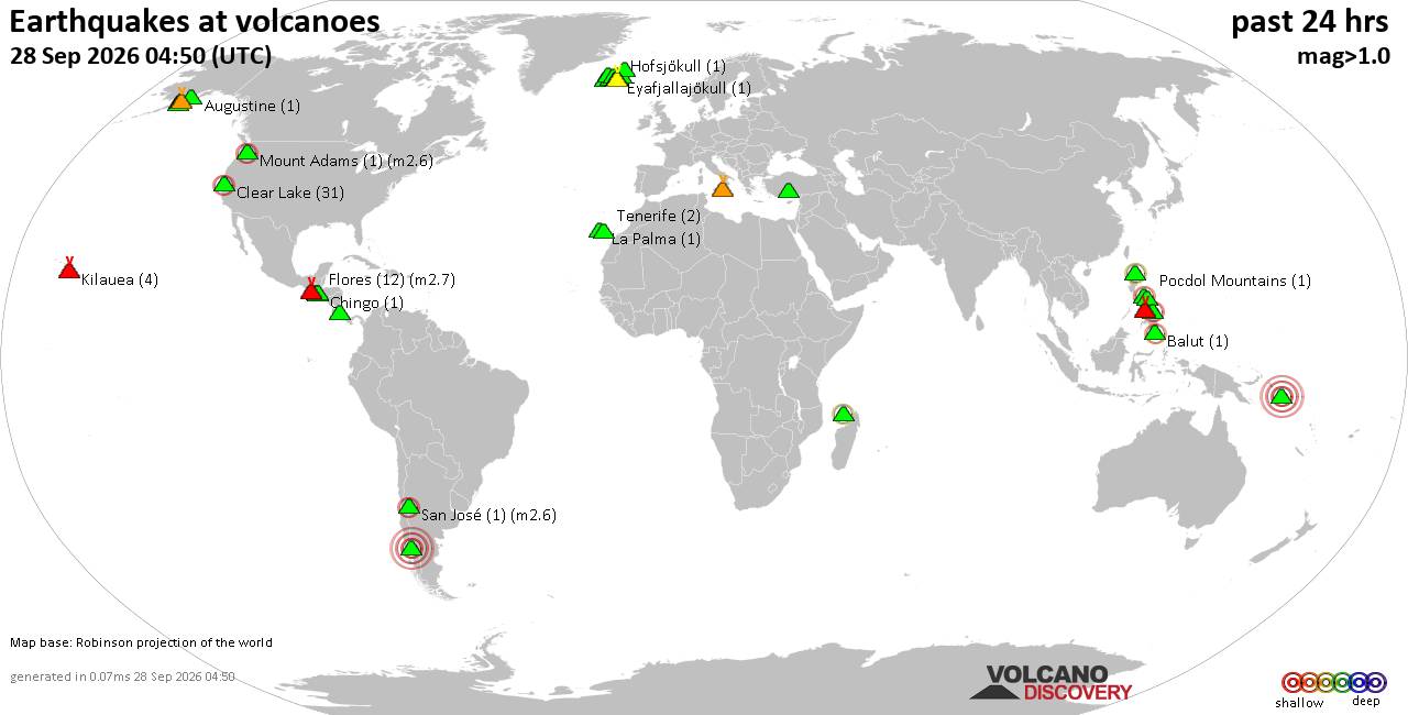
Volcano earthquake report for Monday, 28 September 2026
• M 2.8 - 42 km N of Chase, Alaska
• Moderate mag. 4.8 earthquake - Eastern Gulf of Aden on Monday, Sep 28, 2026...
• M 1.0 - 4 km ENE of Huntsville, Utah
• M 2.1 - 1 km NNW of Pāhala, Hawaii
• M 1.7 - 13 km SSW of Jal, New Mexico
|
|
|
Joined: Feb 2001
Posts: 678,977
Launch Director
|
|
Launch Director
Joined: Feb 2001
Posts: 678,977 |
SPC Sep 28, 2026 1300 UTC Day 1 Convective OutlookSPC 1300Z Day 1 Outlook 
Day 1 Convective Outlook
NWS Storm Prediction Center Norman OK
0728 AM CDT Mon Sep 28 2026

Valid 281300Z - 291200Z

...NO SEVERE THUNDERSTORM AREAS FORECAST...

...SUMMARY...
Severe thunderstorm probability remains low on Monday.

... Northern Plains ...
Surface high pressure centered over the Great Lakes and a developing
area of low pressure over the High Plains will maintain southerly
flow and an adequately moist airmass over NE and the Dakotas.
Ongoing scattered showers/thunderstorms will continue to move
northeast, followed by thickening mid/high-level clouds, which will
likely limit destabilization.  However, some gradual warming through
mid afternoon will favor 500-1500 J/kg MLCAPE developing from
western NE northward into ND.  A surface trough will likely focus
some of the isolated to scattered thunderstorms that eventually
develop.  Overall modest forcing for ascent and some elongation of
forecast hodographs (mostly due to a 250-mb speed max) may yield a
couple of strong thunderstorms developing.  Uncertainty where the
strongest storms develop and their intensity magnitude lend
sufficient concern to preclude low-severe probabilities this outlook
update.  By later this evening, a re-invigoration of a southerly LLJ
may continue to support elevated storms into the overnight.

... Southeast CA/southern NV/western AZ...
Numerous showers and thunderstorms are expected as an anomalously
moist airmass spreads north ahead of a mid-level shortwave trough
forecast to move from the central Valleys to the lower CO River
Valley during the period.  Widespread clouds and weak midlevel lapse
rates should keep instability generally limited through early
afternoon before cloud cover mostly dissipates and a mid-level cold
pocket arrives by early evening.  A stronger storm or two is
possible over this region but the stronger-storm threat combined
with remaining uncertainty in where the more vigorous storms will
develop, appears too low to warrant unconditional probabilities.

..Smith/Bentley.. 09/28/2026
Read morehttps://www.spc.noaa.gov/products/outlook/day1otlk_1300.html
|
|



CMS The Best Conveyancing solicitors conveyancing quotes throughout the UK
For any webhosting enquiries please email webmaster@aus-city.com
|
|
Entire Thread
|

 SPC Sep 28, 2026 1300 UTC Day 1 Convective Outlook
|
Webmaster
|
6 hours ago
|
|
Forums60
Topics845,141
Posts879,936
Members2,960
| |
Most Online102,106
Jul 10th, 2026
|
|
|
|
|

|









































