|
|
|
0 members (),
1,392
guests, and
26
robots. |
|
Key:
Admin,
Global Mod,
Mod
|
|
S |
M |
T |
W |
T |
F |
S |
|
|
|
|
|
1
|
2
|
3
|
|
4
|
5
|
6
|
7
|
8
|
9
|
10
|
|
11
|
12
|
13
|
14
|
15
|
16
|
17
|
|
18
|
19
|
20
|
21
|
22
|
23
|
24
|
|
25
|
26
|
27
|
28
|
29
|
30
|
31
|
|
There are no members with birthdays on this day. |
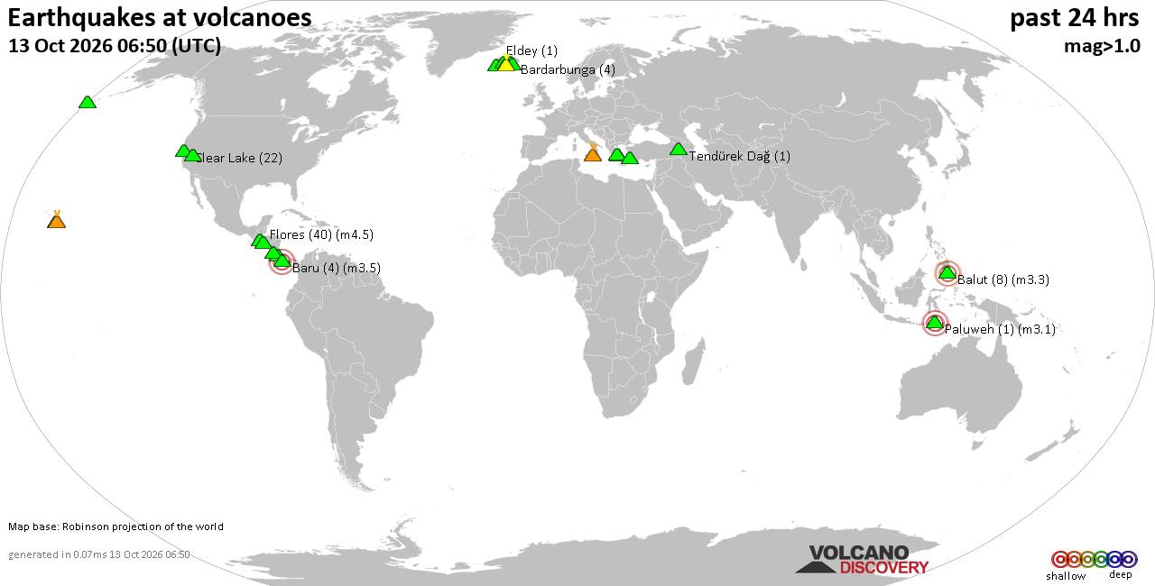
Volcano earthquake report for Tuesday, 13 October 2026
• M 2.7 - 19 km SSW of Leilani Estates, Hawaii
• M 2.5 - 5 km SSW of Pāhala, Hawaii
• M 1.9 - 15 km NE of Milford, Utah
• M 1.8 - 116 km E of Cordova, Alaska
• M 1.2 - 15 km NE of Little Lake, CA
• M 2.0 - 82 km ESE of Ugashik, Alaska
|

#894906
Mon 05 Oct 2026 05:33:PM
|
Joined: Feb 2001
Posts: 678,977
Launch Director
|
|
Launch Director
Joined: Feb 2001
Posts: 678,977 |
SPC Oct 5, 2026 1730 UTC Day 2 Convective OutlookSPC 1730Z Day 2 Outlook 
Day 2 Convective Outlook
NWS Storm Prediction Center Norman OK
1230 PM CDT Mon Oct 05 2026

Valid 061200Z - 071200Z

...NO SEVERE THUNDERSTORM AREAS FORECAST...

...SUMMARY...
Severe storms are unlikely Tuesday.

...Synopsis...
Strong northwest flow will intensify over the northern third of the
US behind a departing upper trough over the western Atlantic.  A
secondary low-amplitude trough over southern Canada is forecast to
move across the Upper Great Lakes and intensify as is moves into the
northern US. Cool mid-level temperatures beneath the deepening
trough could support isolated thunderstorms across the northern
Great Lakes late Tuesday. Otherwise, the cool northerly flow and
high pressure over the eastern states will favor drier and more
stable conditions for much of the region.

To the south of the surface high pressure, scattered thunderstorms
will again be likely over the Gulf Coast and into central and
southern Florida as northeast surface winds push a cold front
farther south. Severe storms are not expected as lapse rates and
vertical shear are forecast to remain weak.

A weak upper trough and a pocket of cooler mid-level temperatures
moving over the Rockies is forecast to steepen low/mid-level lapse
rates through the day. While ascent and overall moisture will be
modest, sufficient buoyancy could support isolated thunderstorms
over the higher terrain.

..Lyons.. 10/05/2026
Read morehttps://www.spc.noaa.gov/products/outlook/day2otlk_1730.html
|
|



CMS The Best Conveyancing solicitors conveyancing quotes throughout the UK
For any webhosting enquiries please email webmaster@aus-city.com
|
|
Entire Thread
|
 SPC Oct 5, 2026 1730 UTC Day 2 Convective Outlook
|
Webmaster
|
Mon 05 Oct 2026 05:33:PM
|
|
Forums60
Topics873,200
Posts907,996
Members2,960
| |
Most Online102,106
Jul 10th, 2026
|
|
|
|
|

|









































