|
0 members (),
1,313
guests, and
27
robots. |
|
Key:
Admin,
Global Mod,
Mod
|
|
S |
M |
T |
W |
T |
F |
S |
|
|
|
|
|
1
|
2
|
3
|
|
4
|
5
|
6
|
7
|
8
|
9
|
10
|
|
11
|
12
|
13
|
14
|
15
|
16
|
17
|
|
18
|
19
|
20
|
21
|
22
|
23
|
24
|
|
25
|
26
|
27
|
28
|
29
|
30
|
31
|
|
There are no members with birthdays on this day. |
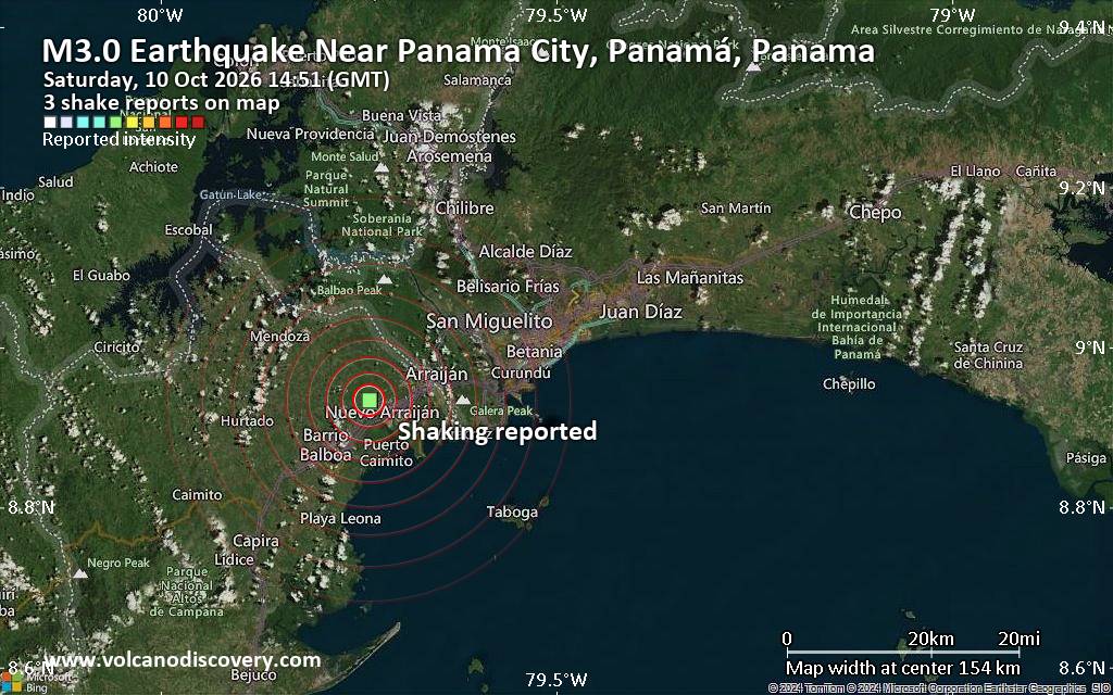
Possible earthquake reported minutes ago near Panama City, Panamá, Panama
• M 5.9 - west of Macquarie Island
• M 7.7 - 12 km WSW of Pitaloza Arriba, Panama
• M 6.0 - 7 km N of La Tronosa, Panama
• M 1.1 - 4 km SW of Anza, CA
• M 1.7 - 7 km NW of The Geysers, CA
|
|
|
Joined: Feb 2001
Posts: 678,977
Launch Director
|
|
Launch Director
Joined: Feb 2001
Posts: 678,977 |
Issued at 900 AM CST Sat Oct 10 2026 488
WTPZ45 KNHC 101458
TCDEP5
Hurricane Simon Discussion Number 13
NWS National Hurricane Center Miami FL EP202026
900 AM CST Sat Oct 10 2026
Simon has gone through some inner-core structural changes over the
last 6 to 12 hours. After exhibiting a pinhole eye for much of
yesterday on geostationary satellite, the more recent imagery this
morning shows a somewhat larger eye that cleared out briefly at
around 10 UTC. This structure suggests that Simon may have undergone
an eyewall replacement cycle (ERC) overnight. A couple of microwave
images that became available after the last advisory also show this
somewhat larger eye. Since that time, the eye has become more
clouded over again. The initial intensity is being held at 130 kt
this advisory, given little change in the satellite intensity
estimates since the intermediate advisory. An Air Force Reserve
reconnaissance mission is scheduled for Simon this afternoon and
will hopefully provide more in-situ data on the hurricane's
structure and intensity later today.
The hurricane took a bit of a northwestward jog and slowed to a
crawl since the previous advisory, but the longer-term estimated
motion is just west of due north at 350/3 kt. The hurricane is being
primarily steered by a weak mid-level ridge centered to its east,
which is providing deep-layer southerly flow. Another deep-layer
trough lies well to the northwest of Simon (which is picking up
Rachel) but appears too far away to impart much steering, with a
narrow mid-level ridge parked just south of the Baja California
Peninsula providing light northerly flow. The net effect is that
Simon should continue to move northward, but at a rather slow
forward speed. In fact, the track guidance this cycle has slowed
down a little more compared to the previous cycle, and the NHC track
is a little slower and a bit further west in the short-term due to
the initial position adjustment. This current track forecast still
takes the hurricane inland over the Mexican state of Jalisco in
24-36 h. However, it is worth stressing there is still a notable
amount of track uncertainty, with the ECMWF, HAFS-A, and Google
DeepMind Ensemble mean (GDMI) keeping Simon just offshore of the
Mexican coast for the next 48 h, while the GFS, HAFS-B, HWRF, and
HMON models show Simon moving inland in the next 24-36 h. The latest
Google Weather Next model (WN3I) attempts to split the difference
between these solutions and brushes right up along the Mexico
coastline. The NHC track still remains a bit of the east side of the
guidance envelope overall, as there is a pretty well-known bias that
tropical cyclones in this area tend to track east of the forecast
track due to interaction with the high topography of coastal Mexico.
The future intensity forecast of Simon is also largely influenced by
this track uncertainty. Environmental conditions remain very
favorable, and Simon's intensity will likely be controlled by
inner-core related fluctuations today. However, as Simon approaches
the coast of Mexico, the higher terrain will likely start to impinge
on its outer circulation, where downslope subsidence may start to
occur. This terrain effect will likely cause its wind field core to
shrink in size and ultimately result in some weakening, even before
the hurricane moves near or onshore of the Mexican coastline. Thus,
weakening is now shown in 24 h, with more substantial weakening
occurring after Simon's core is forecast to move onshore. It is
worth stressing that this intensity forecast contains a lot of
uncertainty, and if Simon remains offshore, it could remain stronger
than shown in this forecast. This scenario is highlighted by the
06 UTC HAFS-A forecast which keeps Simon a significant hurricane
since it remains just offshore. Ultimately, the intensity forecast
remains quite similar to the prior one after land interaction
begins, with Simon expected to dissipate over the higher terrain of
Mexico after 60 h.
Key Messages:
1. Catastrophic wind and life-threatening storm surge impacts are
likely along a portion of the west-central coast of Mexico, and a
Hurricane Warning is in effect from Punta San Telmo to El Roblito.
Preparations to protect life and property should be completed today.
2. Heavy rainfall associated with Simon will impact portions of
southwestern Mexico through this weekend. This rainfall will produce
life-threatening flooding and mudslides, especially in areas of
steep terrain.
3. Swells will affect portions of the southwestern and west-central
coast of Mexico through the weekend. These swells are likely to
cause life-threatening surf and rip current conditions. Please
consult products from your local weather office.
FORECAST POSITIONS AND MAX WINDS
INIT 10/1500Z 17.4N 104.8W 130 KT 150 MPH
12H 11/0000Z 18.1N 105.0W 135 KT 155 MPH
24H 11/1200Z 19.1N 105.2W 125 KT 145 MPH
36H 12/0000Z 20.4N 105.4W 80 KT 90 MPH...INLAND
48H 12/1200Z 21.7N 105.4W 55 KT 65 MPH...INLAND
60H 13/0000Z 23.0N 105.5W 30 KT 35 MPH...POST-TROP/INLAND
72H 13/1200Z...DISSIPATED
$$
Forecaster Papin Source: Hurricane Simon Forecast Discussion Number 13
|
|



CMS The Best Conveyancing solicitors conveyancing quotes throughout the UK
For any webhosting enquiries please email webmaster@aus-city.com
|
|
Entire Thread
|

 Hurricane Simon Forecast Discussion Number 13
|
Webmaster
|
2 hours ago
|
|
Forums60
Topics867,769
Posts902,565
Members2,960
| |
Most Online102,106
Jul 10th, 2026
|
|
|









































