|
|
|
1 members (Webmaster),
1,700
guests, and
25
robots. |
|
Key:
Admin,
Global Mod,
Mod
|
|
S |
M |
T |
W |
T |
F |
S |
|
1
|
2
|
3
|
4
|
5
|
6
|
7
|
|
8
|
9
|
10
|
11
|
12
|
13
|
14
|
|
15
|
16
|
17
|
18
|
19
|
20
|
21
|
|
22
|
23
|
24
|
25
|
26
|
27
|
28
|
|
29
|
30
|
|
|
|
|
|
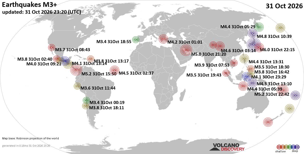
World Earthquake Report for Saturday, 31 October 2026
• M 2.4 - 6 km SW of Volcano, Hawaii
• M 3.1 - 10 km WSW of Hope, Alaska
• M 2.4 - 6 km SW of Volcano, Hawaii
• M 0.2 - 10 km N of Borrego Springs, CA
• M -0.7 - 61 km ENE of Pedro Bay, Alaska
• M 0.6 - 19 km NNE of Ridgecrest, CA
|

#908815
Tue 13 Oct 2026 03:58:AM
|
Joined: Feb 2001
Posts: 678,977
Launch Director
|
|
Launch Director
Joined: Feb 2001
Posts: 678,977 |
Small magnitude 2.9 earthquake 25 miles east of Northam, Western Australia, Australia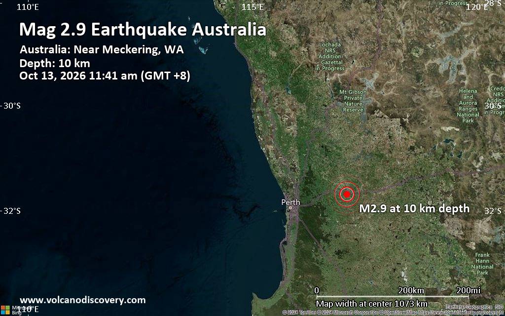 Geoscience Australia (GeoAu) reported a magnitude 2.9 earthquake in Australia near Northam, Western Australia, only 16 minutes ago. The earthquake occurred on Tuesday morning, October 13th, 2026, at 11:41 am local time, at a shallow depth of 6.2 miles. The exact magnitude, epicenter, and depth of the earthquake might be revised within the next few hours or minutes as seismologists review the data and refine their calculations, or as other agencies issue their reports.
Our monitoring service identified a second report from the European-Mediterranean Seismological Centre (EMSC), which also listed the earthquake at magnitude 2.9.
Towns or cities near the epicenter where the earthquake might have been felt as very weak shaking include Meckering (pop. 230), located 7 miles from the epicenter, and Cunderdin (pop. 890), 8 miles away. In York (pop. 2,500, 24 miles away), Northam (pop. 6,500, 25 miles away), Bakers Hill (pop. 1,100, 38 miles away), Toodyay (pop. 1,400, 38 miles away), and Wundowie (pop. 1,300, 43 miles away), the earthquake was probably not felt.
Earthquake data: Date & time: Oct 13, 2026 11:41 am (GMT +8) local time (13 Oct 2026 03:41 GMT)Magnitude: 2.9 Hypocenter depth: 10.00 km Epicenter coordinates: 31.69°S / 117.1°E  ( Cunderdin, Australia) Primary data source: GeoAuhttps://www.volcanodiscovery.com/earthquakes/news/377567/Small-magnitude-29-earthquake-25-miles-east-of-Northam-Western-Australia-Australia.html
|
|



CMS The Best Conveyancing solicitors conveyancing quotes throughout the UK
For any webhosting enquiries please email webmaster@aus-city.com
|
|
Entire Thread
|
 Small magnitude 2.9 earthquake 25 miles east of Northam, Western Australia, Australia |
Webmaster
|
Tue 13 Oct 2026 03:58:AM
|
|
Forums60
Topics904,556
Posts939,353
Members2,960
| |
Most Online102,106
Jul 10th, 2026
|
|
|
|
|

|









































