|
|
|
0 members (),
3,669
guests, and
19
robots. |
|
Key:
Admin,
Global Mod,
Mod
|
|
S |
M |
T |
W |
T |
F |
S |
|
1
|
2
|
3
|
4
|
5
|
6
|
7
|
|
8
|
9
|
10
|
11
|
12
|
13
|
14
|
|
15
|
16
|
17
|
18
|
19
|
20
|
21
|
|
22
|
23
|
24
|
25
|
26
|
27
|
28
|
|
29
|
30
|
|
|
|
|
|
|
There are no members with birthdays on this day. |
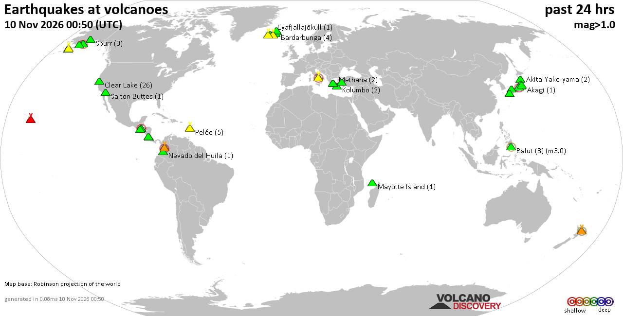
Volcano earthquake report for Tuesday, 10 November 2026
• M -0.6 - 63 km ENE of Pedro Bay, Alaska
• M 0.6 - 47 km ENE of Adak, Alaska
• M 2.3 - 54 km ENE of Susitna North, Alaska
• M 1.4 - 60 km WNW of Nikiski, Alaska
• M 1.1 - 109 km S of McCarthy, Alaska
|

#914901
Fri 16 Oct 2026 07:55:AM
|
Joined: Feb 2001
Posts: 800,656
Launch Director
|
|
Launch Director
Joined: Feb 2001
Posts: 800,656 |
SPC Oct 16, 2026 Day 4-8 Severe Weather OutlookDay 4-8 Outlook 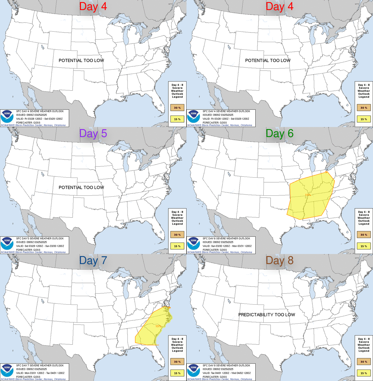
Day 4-8 Convective Outlook
NWS Storm Prediction Center Norman OK
0252 AM CDT Fri Oct 16 2026

Valid 191200Z - 241200Z

...DISCUSSION...
A rather stagnant upper-air pattern will be in place across the
CONUS into early next week, with an upper ridge continuing over the
central U.S. as a mid-level cut-off low meanders along the Atlantic
coastline and an upper trough gradually amplifies along the West
Coast. By the middle to end of next week, the West Coast upper
trough will advance eastward toward the Rockies, encouraging surface
lee troughing and subsequent low-level moisture return (albeit
modest) across the Great Plains states. Thunderstorm development is
possible, especially across portions of the southern High Plains
Days 6-7 (next Wednesday-Thursday). However, deterministic guidance
suggests that little overlap of meaningful buoyancy and vertical
wind shear will take place over the southern High Plains next
Wednesday-Thursday, with calibrated ML/AI guidance only hinting at a
severe threat that will be isolated at best. Therefore, severe
probabilities have been withheld this outlook.
Read morehttps://www.spc.noaa.gov/products/exper/day4-8/
|
|



CMS The Best Conveyancing solicitors conveyancing quotes throughout the UK
For any webhosting enquiries please email webmaster@aus-city.com
|
|
Entire Thread
|
 SPC Oct 16, 2026 Day 4-8 Severe Weather Outlook |
Webmaster
|
Fri 16 Oct 2026 07:55:AM
|
|
Forums60
Topics919,598
Posts954,395
Members2,960
| |
Most Online102,106
Jul 10th, 2026
|
|
|
|
|

|









































