|
0 members (),
1,748
guests, and
22
robots. |
|
Key:
Admin,
Global Mod,
Mod
|
|
S |
M |
T |
W |
T |
F |
S |
|
1
|
2
|
3
|
4
|
5
|
6
|
7
|
|
8
|
9
|
10
|
11
|
12
|
13
|
14
|
|
15
|
16
|
17
|
18
|
19
|
20
|
21
|
|
22
|
23
|
24
|
25
|
26
|
27
|
28
|
|
29
|
30
|
|
|
|
|
|
|
There are no members with birthdays on this day. |
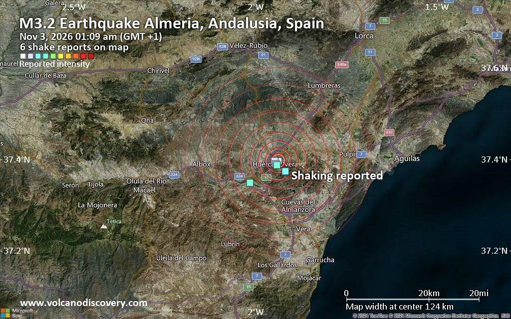
Seismic-like event, possible earthquake, reported about 10 minutes ago near Huercal-Overa, Andalusia, Spain
• World Earthquake Report for Monday, 2 November 2026
• M 3.0 - 225 km W of Petrolia, CA
• M 2.3 - 35 km ENE of Atka, Alaska
• M 2.1 - 97 km E of Nikolski, Alaska
• M 4.1 - 63 km W of Flaxmere, New Zealand
|
|
|
Joined: Feb 2001
Posts: 678,977
Launch Director
|
|
Launch Director
Joined: Feb 2001
Posts: 678,977 |
SPC MD 2433MD 2433 CONCERNING SEVERE POTENTIAL...WATCH UNLIKELY FOR PORTIONS OF EASTERN NEBRASKA INTO SOUTHEASTERN SOUTH DAKOTA AND NORTHWESTERN IOWA 
Mesoscale Discussion 2433
NWS Storm Prediction Center Norman OK
0355 PM CST Mon Nov 02 2026

Areas affected...portions of eastern Nebraska into southeastern
South Dakota and northwestern Iowa

Concerning...Severe potential...Watch unlikely

Valid 022155Z - 022330Z

Probability of Watch Issuance...5 percent

SUMMARY...A low probability risk for an isolated damaging wind gust
and perhaps a brief tornado may accompany thunderstorms over the
next couple of hours.

DISCUSSION...Regional radar imagery depicts a broken, loosely
organized band of convection extending from near Grand Island, NE,
northeastward to Sioux Falls, SD. Latest objective analysis suggests
that MLCAPE has increased to 500-1000 J/kg within this corridor.
While effective shear remains weaker compared to areas farther south
(around 25-30 kts), transient storm organization may occur with
stronger updrafts. Given strong low-level flow (around 40 kts
sampled at 1 km AGL by the OAX VWP) and 100+ J/kg 0-3 km CAPE
overlapping ambient surface vertical vorticity, a low probability
risk for an isolated damaging wind gust and/or brief tornado may
exist over the next couple of hours. Watch issuance is not expected
owing to the isolated/limited nature of this severe risk.

..Chalmers/Bentley.. 11/02/2026

...Please see www.spc.noaa.gov for graphic product...

ATTN...WFO...FSD...OAX...GID...

LAT...LON   40649866 42479736 43099696 43549677 43959660 44109628
            44029587 43679567 43169561 42299587 41409640 40759716
            40509790 40519842 40649866

MOST PROBABLE PEAK TORNADO INTENSITY...UP TO 90 MPH
MOST PROBABLE PEAK WIND GUST...UP TO 60 MPH
Read morehttps://www.spc.noaa.gov/products/md/md2433.html
|
|



CMS The Best Conveyancing solicitors conveyancing quotes throughout the UK
For any webhosting enquiries please email webmaster@aus-city.com
|
|
Entire Thread
|

 SPC MD 2433 |
Webmaster
|
Yesterday at 10:00 PM
|
|
Forums60
Topics908,111
Posts942,908
Members2,960
| |
Most Online102,106
Jul 10th, 2026
|
|
|









































