|
|
|
0 members (),
2,890
guests, and
28
robots. |
|
Key:
Admin,
Global Mod,
Mod
|
|
S |
M |
T |
W |
T |
F |
S |
|
1
|
2
|
3
|
4
|
5
|
6
|
7
|
|
8
|
9
|
10
|
11
|
12
|
13
|
14
|
|
15
|
16
|
17
|
18
|
19
|
20
|
21
|
|
22
|
23
|
24
|
25
|
26
|
27
|
28
|
|
29
|
30
|
|
|
|
|
|
|
There are no members with birthdays on this day. |
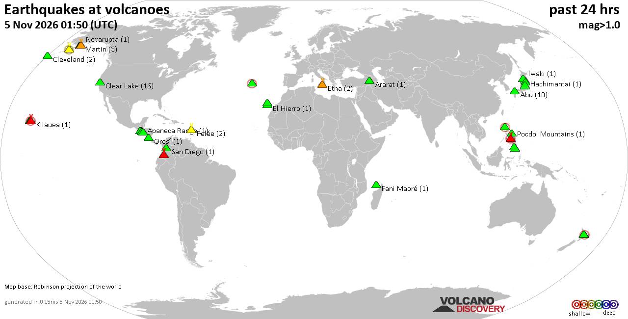
Volcano earthquake report for Thursday, 5 November 2026
• M 5.1 - 19 km NNW of Masumbwe, Tanzania
• M 1.3 - 21 km W of Progreso, B.C., MX
• M 2.5 - 10 km N of Lake Pillsbury, CA
• M 1.3 - 13 km NW of The Geysers, CA
• M 2.6 - 61 km SW of Akhiok, Alaska
|
|
|
Joined: Feb 2001
Posts: 800,656
Launch Director
|
|
Launch Director
Joined: Feb 2001
Posts: 800,656 |
SPC Nov 5, 2026 Day 4-8 Severe Weather OutlookDay 4-8 Outlook 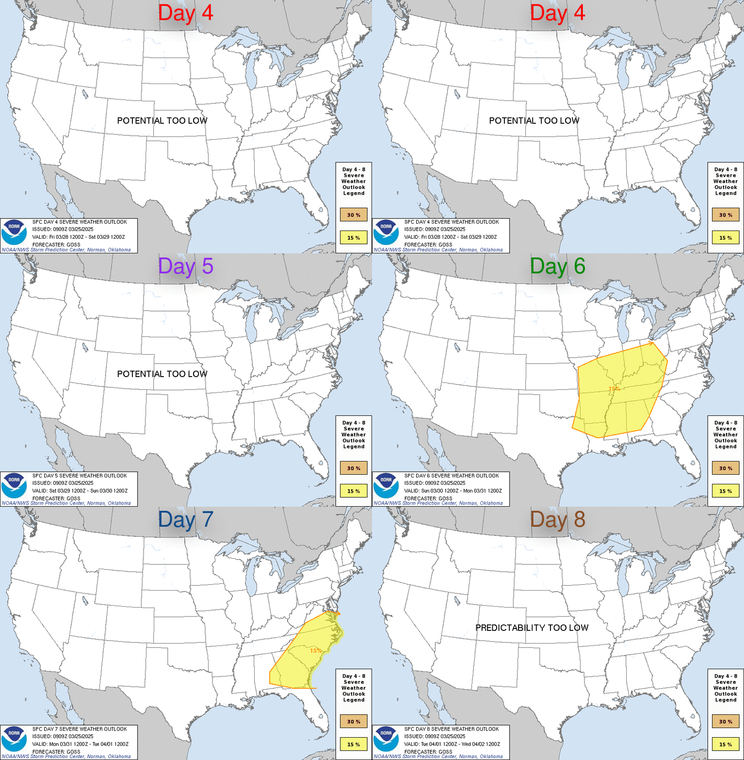
Day 4-8 Convective Outlook
NWS Storm Prediction Center Norman OK
0344 AM CST Thu Nov 05 2026

Valid 081200Z - 131200Z

...DISCUSSION...
Minimal thunderstorm potential is forecast across the CONUS through
the period.

Scattered showers and few elevated thunderstorms may persist over
far southern TX on Sun/D4 as a positive-tilt shortwave trough moves
out of Mexico an into TX. Lapse rates will generally be poor, with
marginal instability and moist profiles aided by east/southeast
surface winds. Severe weather is not expected with this activity.

Otherwise, an active northern stream jet will bring progressive
troughs east/southeastward across the northern Plains, Great Lakes
and Northeast/Mid Atlantic, with reinforcing areas of high pressure
maintaining stable conditions.
Read morehttps://www.spc.noaa.gov/products/exper/day4-8/
|
|



CMS The Best Conveyancing solicitors conveyancing quotes throughout the UK
For any webhosting enquiries please email webmaster@aus-city.com
|
|
Entire Thread
|

 SPC Nov 5, 2026 Day 4-8 Severe Weather Outlook |
Webmaster
|
2 hours ago
|
|
Forums60
Topics912,192
Posts946,989
Members2,960
| |
Most Online102,106
Jul 10th, 2026
|
|
|
|
|

|









































