|
|
|
0 members (),
2,612
guests, and
19
robots. |
|
Key:
Admin,
Global Mod,
Mod
|
|
S |
M |
T |
W |
T |
F |
S |
|
1
|
2
|
3
|
4
|
5
|
6
|
7
|
|
8
|
9
|
10
|
11
|
12
|
13
|
14
|
|
15
|
16
|
17
|
18
|
19
|
20
|
21
|
|
22
|
23
|
24
|
25
|
26
|
27
|
28
|
|
29
|
30
|
|
|
|
|
|
|
There are no members with birthdays on this day. |
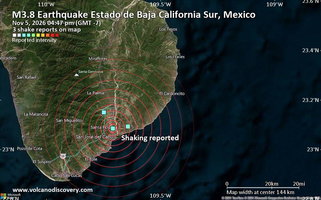
Seismic-like event, possible earthquake, reported minutes ago near Cabo San Lucas, Baja California Sur, Mexico
• M 3.0 - 124 km W of Adak, Alaska
• M 5.0 - 111 km W of Petrolia, CA
• Moderate mag. 4.7 earthquake - Bismarck Sea, 33 km south of Long Island, Ma...
• M 0.8 - 86 km NW of Karluk, Alaska
• M 0.5 - 7 km NW of The Geysers, CA
• M 2.7 - 33 km SSW of Akutan, Alaska
|
|
|
Joined: Feb 2001
Posts: 800,656
Launch Director
|
|
Launch Director
Joined: Feb 2001
Posts: 800,656 |
SPC Nov 5, 2026 2000 UTC Day 1 Convective OutlookSPC 2000Z Day 1 Outlook 
Day 1 Convective Outlook
NWS Storm Prediction Center Norman OK
0152 PM CST Thu Nov 05 2026

Valid 052000Z - 061200Z

...NO SEVERE THUNDERSTORM AREAS FORECAST...

...SUMMARY...
Severe storms are unlikely today and tonight.

...20z Updates...
Only minor adjustments were made to thunderstorm coverage based on
trends in radar. See previous discussion below for more information.

..Halbert-E.. 11/05/2026

.PREV DISCUSSION... /ISSUED 1010 AM CST Thu Nov 05 2026/

...Mid Atlantic to southern New England...
Broad southwesterly flow aloft is present today over the eastern
states, with a moist surface air mass in place along and east of the
Appalachians.  Forcing will be weak through the day, but an
approaching upper trough over the central US will result in
increasing thunderstorm potential after dark - especially from the
Mid Atlantic region northward into southern New England.  Strong
winds aloft will result in fast-moving storms, but nocturnal cooling
will limit surface-based convective threat and the overall risk of
damaging winds.  Nevertheless, an occasional storm could pose some
concern for gusty winds.

...KS/OK...
A mid-level shortwave trough and associated pocket of cold mid-level
air will result in steep lapse rates and scattered afternoon
thunderstorms over parts of southern KS and northern OK.
Read morehttps://www.spc.noaa.gov/products/outlook/day1otlk_2000.html
|
|



CMS The Best Conveyancing solicitors conveyancing quotes throughout the UK
For any webhosting enquiries please email webmaster@aus-city.com
|
|
Entire Thread
|

 SPC Nov 5, 2026 2000 UTC Day 1 Convective Outlook |
Webmaster
|
Yesterday at 07:55 PM
|
|
Forums60
Topics913,446
Posts948,243
Members2,960
| |
Most Online102,106
Jul 10th, 2026
|
|
|
|
|

|









































