|
0 members (),
3,227
guests, and
18
robots. |
|
Key:
Admin,
Global Mod,
Mod
|
|
S |
M |
T |
W |
T |
F |
S |
|
1
|
2
|
3
|
4
|
5
|
6
|
7
|
|
8
|
9
|
10
|
11
|
12
|
13
|
14
|
|
15
|
16
|
17
|
18
|
19
|
20
|
21
|
|
22
|
23
|
24
|
25
|
26
|
27
|
28
|
|
29
|
30
|
|
|
|
|
|
|
There are no members with birthdays on this day. |

Volcano earthquake report for Monday, 9 November 2026
• M 1.1 - 4 km NW of The Geysers, CA
• M 1.0 - 2 km NNE of Mossyrock, Washington
• M 1.3 - 15 km NNE of Milford, Utah
• M 4.6 - 208 km WSW of Pistol River, Oregon
• M 1.6 Explosion - 4 km NNW of Kapowsin, Washington
|
|
|
Joined: Feb 2001
Posts: 800,656
Launch Director
|
|
Launch Director
Joined: Feb 2001
Posts: 800,656 |
SPC Day 3-8 Fire Weather OutlookSPC Day 3-8 Fire Weather Outlook 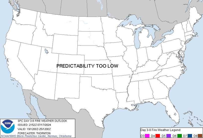
Day 3-8 Fire Weather Outlook
NWS Storm Prediction Center Norman OK
0321 PM CST Mon Nov 09 2026

Valid 111200Z - 171200Z

...Synopsis...
A highly amplified flow pattern develops across the CONUS through
late this week. Ridging across the western U.S. will contribute to
above normal temperatures and dry conditions through Day 5/Friday
under a relatively light wind regime. Farther east, broad troughing
will envelop the eastern U.S. with a strong surface low moving into
the Mid Atlantic as a trailing cold front sweeps towards the Gulf
and Atlantic coasts. A post-frontal air mass will filter into the
Southeast on Day 4-5/Thursday-Friday bringing dry, offshore flow to
the Deep South. Preceding precipitation in the Day 3/Wednesday into
Day 4/Thursday time frame could mitigate impact from the enhanced
north/northwesterly winds and lower RH.

An upper-level trough is expected to enter the western U.S. this
weekend bringing rain and high elevation snow to much of the
Intermountain West, alleviating fire weather concerns across the
region into early next week. Warm and dry conditions across the
central and northern High Plains ahead of the trough should allow
for drier fuels to develop into the weekend but lack of overlapping
dry and breezy conditions should limit the fire weather threat.

..Williams.. 11/09/2026

...Please see www.spc.noaa.gov/fire for graphic product...
Read morehttps://www.spc.noaa.gov/products/exper/fire_wx/
|
|



CMS The Best Conveyancing solicitors conveyancing quotes throughout the UK
For any webhosting enquiries please email webmaster@aus-city.com
|
|
Entire Thread
|

 SPC Day 3-8 Fire Weather Outlook |
Webmaster
|
Yesterday at 09:26 PM
|
|
Forums60
Topics919,364
Posts954,161
Members2,960
| |
Most Online102,106
Jul 10th, 2026
|
|
|









































