|
0 members (),
3,324
guests, and
18
robots. |
|
Key:
Admin,
Global Mod,
Mod
|
|
S |
M |
T |
W |
T |
F |
S |
|
1
|
2
|
3
|
4
|
5
|
6
|
7
|
|
8
|
9
|
10
|
11
|
12
|
13
|
14
|
|
15
|
16
|
17
|
18
|
19
|
20
|
21
|
|
22
|
23
|
24
|
25
|
26
|
27
|
28
|
|
29
|
30
|
|
|
|
|
|
|
There are no members with birthdays on this day. |
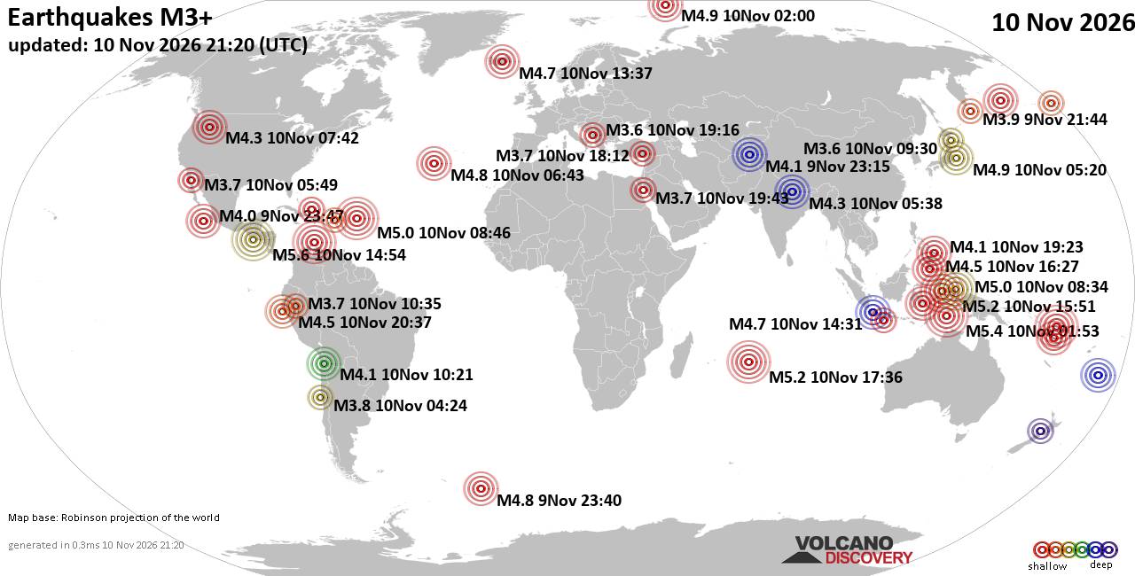
World Earthquake Report for Tuesday, 10 November 2026
• M -0.3 - 76 km NE of Nikolski, Alaska
• M 1.1 - 9 km S of Lake Henshaw, CA
• M 1.7 - 0 km SW of Pāhala, Hawaii
• M 1.2 - 26 km WSW of Westley, CA
• M 1.2 - 10 km W of Forsan, Texas
|
|
|
Joined: Feb 2001
Posts: 800,656
Launch Director
|
|
Launch Director
Joined: Feb 2001
Posts: 800,656 |
SPC Day 2 Fire Weather OutlookSPC Day 2 Fire Weather Outlook 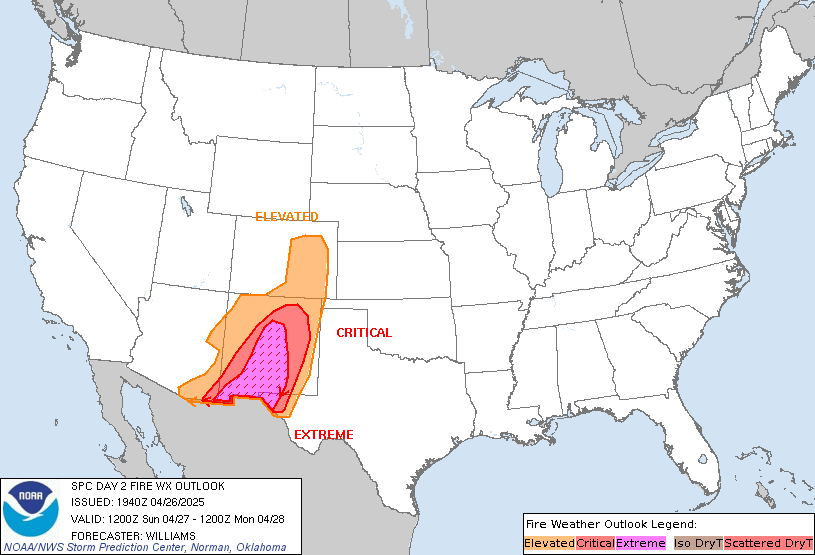
Day 2 Fire Weather Outlook
NWS Storm Prediction Center Norman OK
0130 PM CST Tue Nov 10 2026

Valid 111200Z - 121200Z

...NO CRITICAL AREAS...

The previous forecast remains on track with no significant fire
weather concerns across CONUS for D2/Wednesday. Please see previous
discussion for additional details.

..Williams.. 11/10/2026

.PREV DISCUSSION... /ISSUED 1149 PM CST Mon Nov 09 2026/

...Synopsis...
The upper-level flow over the CONUS amplifies on Day 2/Wednesday
with ridging over the Intermountain West and troughing across
portions of central/eastern portions of the CONUS. A surface cyclone
will strengthen and track east-southeast across the Midwest into the
Ohio Valley. Drier post-frontal flow will develop on much of the
Plains. However, the stronger winds are likely to be displaced from
the lowest RH, and fuels are not particularly receptive on the
Plains. Drier pre-frontal conditions are likely across portions of
the southern Appalachians into Georgia and South Carolina. However,
there will likely be limited overlap of moderately receptive fuels
and elevated winds/RH, thus precluding introducing any risk areas at
this time.

...Please see www.spc.noaa.gov/fire for graphic product...
Read morehttps://www.spc.noaa.gov/products/fire_wx/fwdy2.html
|
|



CMS The Best Conveyancing solicitors conveyancing quotes throughout the UK
For any webhosting enquiries please email webmaster@aus-city.com
|
|
Entire Thread
|

 SPC Day 2 Fire Weather Outlook |
Webmaster
|
2 hours ago
|
|
Forums60
Topics920,920
Posts955,717
Members2,960
| |
Most Online102,106
Jul 10th, 2026
|
|
|









































