|
0 members (),
2,197
guests, and
25
robots. |
|
Key:
Admin,
Global Mod,
Mod
|
|
S |
M |
T |
W |
T |
F |
S |
|
1
|
2
|
3
|
4
|
5
|
6
|
7
|
|
8
|
9
|
10
|
11
|
12
|
13
|
14
|
|
15
|
16
|
17
|
18
|
19
|
20
|
21
|
|
22
|
23
|
24
|
25
|
26
|
27
|
28
|
|
29
|
30
|
|
|
|
|
|
|
There are no members with birthdays on this day. |

Volcano earthquake report for Sunday, 22 November 2026
• Moderate mag. 4.5 earthquake - 73 km north of Calama, Provincia de El Loa, ...
• Magnitude 5.2 earthquake strikes near Cerro de Pasco, Pasco Province, Depar...
• M 2.0 - 8 km NW of Pinnacles, CA
• M 2.7 - 26 km WNW of Yachats, Oregon
• M 5.0 - 15 km NNE of Carhuamayo, Peru
|
|
|
Joined: Feb 2001
Posts: 800,656
Launch Director
|
|
Launch Director
Joined: Feb 2001
Posts: 800,656 |
SPC Day 1 Fire Weather OutlookSPC Day 1 Fire Weather Outlook 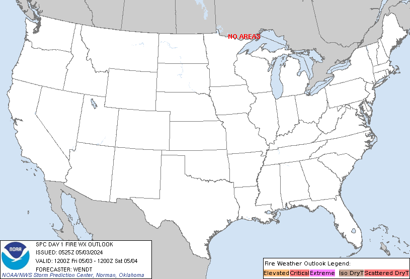
Day 1 Fire Weather Outlook
NWS Storm Prediction Center Norman OK
1134 PM CST Fri Nov 20 2026

Valid 211200Z - 221200Z

...NO CRITICAL AREAS...

...Synopsis...
A mid-level trough will eject over the Plains states today,
encouraging the eastward advancement of a surface trough toward the
Mississippi Valley as surface high pressure and associated colder
air overspreads the northern CONUS. Cool and/or moist surface
conditions will be prevalent over most areas of the CONUS, limiting
significant wildfire spread potential in most areas. The development
of a surface low off of the Carolina coastline, accompanied by
appreciably strong surface wind fields, will remain displaced
southeast from a plume of dry air aloft over the central
Appalachians. As such, wildfire-spread potential over the central
Appalachians should remain localized given the presence of dry air
over dry fuels, but with a limited surface wind field.

..Squitieri.. 11/21/2026

...Please see www.spc.noaa.gov/fire for graphic product...
Read morehttps://www.spc.noaa.gov/products/fire_wx/fwdy1.html
|
|



CMS The Best Conveyancing solicitors conveyancing quotes throughout the UK
For any webhosting enquiries please email webmaster@aus-city.com
|
|
Entire Thread
|

 SPC Day 1 Fire Weather Outlook |
Webmaster
|
Yesterday at 05:36 AM
|
|
Forums60
Topics940,686
Posts975,483
Members2,960
| |
Most Online102,106
Jul 10th, 2026
|
|
|









































