|
|
|
0 members (),
1,439
guests, and
22
robots. |
|
Key:
Admin,
Global Mod,
Mod
|
|
S |
M |
T |
W |
T |
F |
S |
|
|
|
|
|
1
|
2
|
3
|
|
4
|
5
|
6
|
7
|
8
|
9
|
10
|
|
11
|
12
|
13
|
14
|
15
|
16
|
17
|
|
18
|
19
|
20
|
21
|
22
|
23
|
24
|
|
25
|
26
|
27
|
28
|
29
|
30
|
31
|
|
There are no members with birthdays on this day. |

M 6.6 - 14 km W of Río Grande, Panama
• M 7.7 - 12 km WSW of Pitaloza Arriba, Panama
• M 1.8 - 1 km NNE of The Geysers, CA
• Moderate mag. 4.6 earthquake - Gisborne, New Zealand, on Saturday, Oct 10, ...
• M 2.5 - 10 km SE of Winchester, CA
• M 0.9 - 82 km NNW of Karluk, Alaska
|

#732891
Sat 31 Aug 2024 07:01:PM
|
Joined: Feb 2001
Posts: 678,977
Launch Director
|
|
Launch Director
Joined: Feb 2001
Posts: 678,977 |
SPC Aug 31, 2024 1930 UTC Day 3 Severe Thunderstorm OutlookSPC 1930Z Day 3 Outlook 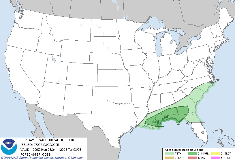
Day 3 Convective Outlook
NWS Storm Prediction Center Norman OK
0159 PM CDT Sat Aug 31 2024

Valid 021200Z - 031200Z

...NO SEVERE THUNDERSTORM AREAS FORECAST...

...SUMMARY...
Severe thunderstorm potential remains quite limited across the U.S.
on Monday.

...Synopsis...
Upper ridging will build over much of the central CONUS as a
mid-level trough ejects into the Atlantic, and a second mid-level
trough traverses the Pacific Northwest on Day 3/Monday. WAA, driven
by surface lee troughing across the Plains, as well as the heating
of a moist boundary layer across the southeast quadrant of the U.S.,
will foster isolated to scattered thunderstorm development from
eastern NM to the central/southern Atlantic Seaboard. At least
isolated thunderstorm development is also likely across much of the
Interior West as the West Coast mid-level trough approaches.

...Pacific Northwest...
Isolated to scattered thunderstorms may form near a weak surface low
to the lee of the Cascades late Monday afternoon into early evening.
These storms should be high based as they develop atop a boundary
layer that may mix up to 600-500 mb. Steep low and mid-level lapse
rates exceeding 9 C/km amid stronger unidirectional southwesterly
flow above 500 mb (hence elongated hodographs) may encourage storm
organization to some degree, with gusty winds possible. A Category
1/Marginal Risk for severe gusts may be needed over the Harney Basin
in eastern OR in future outlooks if greater storm coverage by
afternoon peak heating becomes apparent.

..Squitieri.. 08/31/2024
Read morehttps://www.spc.noaa.gov/products/outlook/day3otlk_1930.html
|
|



CMS The Best Conveyancing solicitors conveyancing quotes throughout the UK
For any webhosting enquiries please email webmaster@aus-city.com
|
|
Forums60
Topics868,147
Posts902,943
Members2,960
| |
Most Online102,106
Jul 10th, 2026
|
|
|
|
|

|









































