|
0 members (),
3,202
guests, and
26
robots. |
|
Key:
Admin,
Global Mod,
Mod
|
|
S |
M |
T |
W |
T |
F |
S |
|
|
|
|
|
1
|
2
|
3
|
|
4
|
5
|
6
|
7
|
8
|
9
|
10
|
|
11
|
12
|
13
|
14
|
15
|
16
|
17
|
|
18
|
19
|
20
|
21
|
22
|
23
|
24
|
|
25
|
26
|
27
|
28
|
29
|
30
|
31
|
|
There are no members with birthdays on this day. |
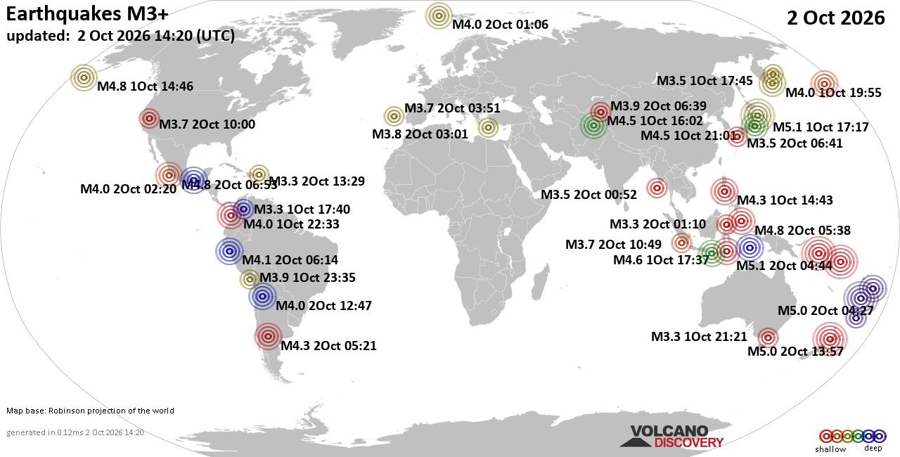
World Earthquake Report for Friday, 2 October 2026
• M 5.0 - 6 km E of Inglewood, New Zealand
• M 1.2 - 7 km N of Beaumont, CA
• M 1.2 - 12 km WNW of Calipatria, CA
• M 5.0 - 6 km E of Inglewood, New Zealand
• M 5.0 - 6 km E of Inglewood, New Zealand
|

#744442
Wed 13 Nov 2024 12:19:PM
|
Joined: Feb 2001
Posts: 678,977
Launch Director
|
|
Launch Director
Joined: Feb 2001
Posts: 678,977 |
NHC Atlantic Outlook
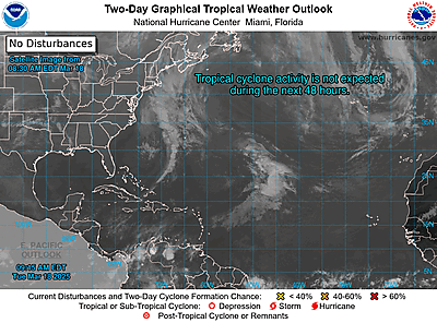
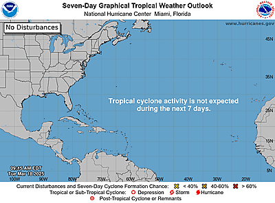
ZCZC MIATWOAT ALL
TTAA00 KNHC DDHHMM CCA
Tropical Weather Outlook
NWS National Hurricane Center Miami FL
700 AM EST Wed Nov 13 2024
Corrected to add information about High Seas Forecasts and Gale
warnings.
For the North Atlantic...Caribbean Sea and the Gulf of Mexico:
1. Central and Western Caribbean Sea (AL99):
A broad area of low pressure over the central Caribbean Sea
continues to produce a large area of showers and thunderstorms.
Environmental conditions are conducive for development, and a
tropical depression is likely to form within the next couple of days
while the system moves slowly westward into the western Caribbean
Sea. Afterward, further development is likely while the disturbance
meanders over the western Caribbean Sea through the weekend. The
system is expected to turn slowly northwestward by early next week.
Interests across the western and northwestern Caribbean Sea should
monitor the progress of this system. Regardless of development,
heavy rains are expected over Jamaica during the next day or so. For
more information on this system, including gale warnings, see High
Seas Forecasts issued by the National Weather Service. An Air Force
Hurricane Hunter aircraft is scheduled to investigate this system
later today.
* Formation chance through 48 hours...high...90 percent.
* Formation chance through 7 days...high...90 percent.
High Seas Forecasts issued by the National Weather Service
can be found under AWIPS header NFDHSFAT1, WMO header FZNT01
KWBC, and online at ocean.weather.gov/shtml/NFDHSFAT1.php
Forecaster Kelly
|
|



CMS The Best Conveyancing solicitors conveyancing quotes throughout the UK
For any webhosting enquiries please email webmaster@aus-city.com
|
|
Forums60
Topics853,347
Posts888,142
Members2,960
| |
Most Online102,106
Jul 10th, 2026
|
|
|









































