|
0 members (),
312
guests, and
28
robots. |
|
Key:
Admin,
Global Mod,
Mod
|
|
S |
M |
T |
W |
T |
F |
S |
|
|
|
|
|
|
1
|
2
|
|
3
|
4
|
5
|
6
|
7
|
8
|
9
|
|
10
|
11
|
12
|
13
|
14
|
15
|
16
|
|
17
|
18
|
19
|
20
|
21
|
22
|
23
|
|
24
|
25
|
26
|
27
|
28
|
29
|
30
|
|
31
|
|
|
|
|
|
|
|
There are no members with birthdays on this day. |
|
|
Emily Carr
by Webmaster - Mon 25 Aug 2025 05:00:AM
|
|
|
Bjork
by Webmaster - Mon 25 Aug 2025 05:00:AM
|
|
|
|
|
|
|
|
|
|
|
|
|
|
|
Joined: Feb 2001
Posts: 381,904
Launch Director
|
OP

Launch Director
Joined: Feb 2001
Posts: 381,904 |
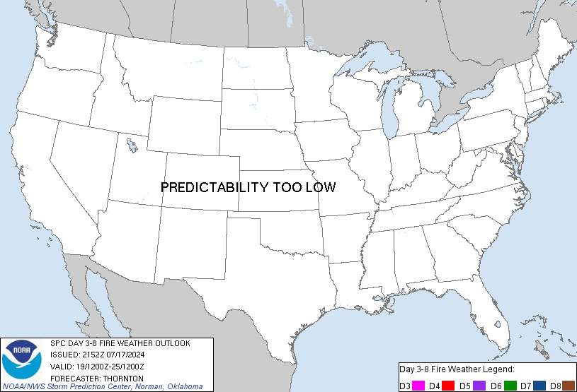
SPC Day 3-8 Fire Weather OutlookSPC Day 3-8 Fire Weather Outlook 
Day 3-8 Fire Weather Outlook
NWS Storm Prediction Center Norman OK
0433 PM CDT Sun Aug 24 2025

Valid 261200Z - 011200Z

Upper-level troughing is likely to continue over much of the West
this week but weaken from its peak this weekend. Weak upper-level
troughing is forecast to develop off the West Coast through mid-week
with an upper-level trough likely to approach the Northwest Day
5/Thursday. Monsoonal moisture will continue to push northward
through the Northwest and the Northern Rockies by Day 5/Thursday.
Daily wet thunderstorms and showers remain likely for much of the
southern/central Intermountain West, with wet thunderstorms and
wetting rain moving into central/north Idaho and western Montana Day
4/Wednesday - Day 5/Thursday. Drier air will begin to filter into
the West behind this monsoonal surge, mostly from west to east mid
to late week.

Mixed wet/dry thunderstorms over receptive fuels are possible in
portions of the Cascades, especially from northern Oregon northward,
and northern Rockies mainly north Idaho and northwest Montana.
Additionally, as drier air filters into portions of California and
the Great Basin, areas will be monitored for potential introduction
of dry thunderstorm probabilities. The main reason for not including
probabilities at this time is the uncertainty regarding the spatial
extent and magnitude of ongoing/upcoming wetting rain coupled with
thunderstorm chances away from these areas.

..Nauslar.. 08/24/2025

...Please see www.spc.noaa.gov/fire for graphic product...
Read morehttps://www.spc.noaa.gov/products/exper/fire_wx/
|
|


CMS The Best Conveyancing solicitors conveyancing quotes throughout the UK
For any webhosting enquiries please email webmaster@aus-city.com
|
|
Forums60
Topics736,261
Posts770,884
Members2,958
| |
Most Online4,158
Jun 21st, 2024
|
|
|