|
|
|
0 members (),
607
guests, and
24
robots. |
|
Key:
Admin,
Global Mod,
Mod
|
|
S |
M |
T |
W |
T |
F |
S |
|
|
|
|
1
|
2
|
3
|
4
|
|
5
|
6
|
7
|
8
|
9
|
10
|
11
|
|
12
|
13
|
14
|
15
|
16
|
17
|
18
|
|
19
|
20
|
21
|
22
|
23
|
24
|
25
|
|
26
|
27
|
28
|
29
|
30
|
31
|
|
|
There are no members with birthdays on this day. |

#777315
Mon 06 Oct 2025 10:01:PM
|
Joined: Feb 2001
Posts: 381,904
Launch Director
|
OP

Launch Director
Joined: Feb 2001
Posts: 381,904 |
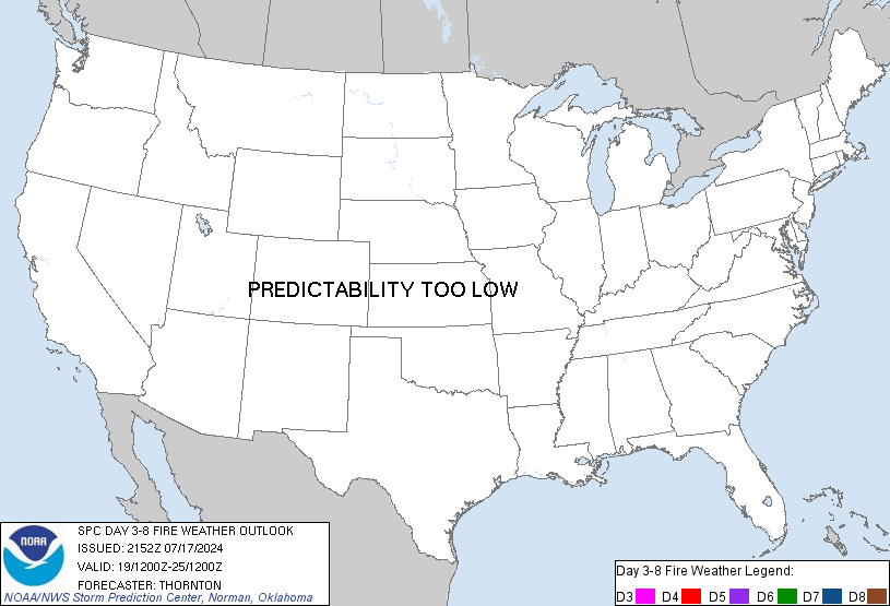
SPC Day 3-8 Fire Weather OutlookSPC Day 3-8 Fire Weather Outlook 
Day 3-8 Fire Weather Outlook
NWS Storm Prediction Center Norman OK
0456 PM CDT Mon Oct 06 2025

Valid 081200Z - 141200Z

...Days 3-5/Wednesday-Friday...
An upper-level trough enters the Pacific Northwest by Day
3/Wednesday, translating southward along the West Coast to northern
CA by Day 5/Friday. Ridging across the Intermountain West will
support above normal temperatures across the Interior West with dry
and breezy conditions across the Desert Southwest and Upper Colorado
River Basin on Day 3/Wednesday, although fuels should be largely
unsupportive for significant wildfire spread. Deeper atmospheric
moisture originating from Hurricane Priscilla along with the
eastward advancing upper-level trough will bring better
opportunities for precipitation across the Northwest, Great Basin
and Colorado Plateau by the end of the week. Southerly return flow
increases across the Great Plains/Upper-Midwest under an upper-level
ridge Wednesday and Thursday, but alignment with sufficiently low
relative humidity and fuels remains uncertain. Surface high pressure
in the wake of a cold front and associated rainfall will provide
cooler temperatures and generally light winds across the eastern
U.S. through the end of the week, limiting fire weather concerns.

...Days 6-8/Saturday-Monday...
Surface troughing in the lee of the Rockies intensifies over the
weekend as broad southwesterly flow aloft overspreads the central
U.S., promoting increasing southerly winds across the Great Plains.
Some uncertainty remains in the magnitude of moisture return into
the Southern Plains along the western periphery of diffuse high
pressure situated over the eastern U.S. This precludes introduction
of critical probabilities for the weekend time frame.

..Williams.. 10/06/2025

...Please see www.spc.noaa.gov/fire for graphic product...
Read morehttps://www.spc.noaa.gov/products/exper/fire_wx/
|
|


CMS The Best Conveyancing solicitors conveyancing quotes throughout the UK
For any webhosting enquiries please email webmaster@aus-city.com
|
|
Forums60
Topics741,080
Posts775,708
Members2,958
| |
Most Online4,158
Jun 21st, 2024
|
|
|
|
|
Copyright 1996 - 2024 by David Cottle. Designed by David Bate Jr. All Rights Reserved.
By using this forum, the user agrees not to transfer any data or technical information received under the agreement, to any other entity without the express approval of the AUS-CITY Forum Admins and/or authors of individual posts (Forum Admins and DoD/USSPACECOM for the analysis of satellite tracking data).
Two-line elements (TLE) and all other satellite data presented and distributed via this forum and e-mail lists of AUS-CITY are distributed with permission from DoD/USSTRATCOM.


Reprise Hosting


|

|