|
0 members (),
1,691
guests, and
23
robots. |
|
Key:
Admin,
Global Mod,
Mod
|
|
S |
M |
T |
W |
T |
F |
S |
|
|
|
|
1
|
2
|
3
|
4
|
|
5
|
6
|
7
|
8
|
9
|
10
|
11
|
|
12
|
13
|
14
|
15
|
16
|
17
|
18
|
|
19
|
20
|
21
|
22
|
23
|
24
|
25
|
|
26
|
27
|
28
|
29
|
30
|
31
|
|
|
There are no members with birthdays on this day. |

Volcano earthquake report for Friday, 10 Jul 2026
• Moderate mag. 4.2 earthquake - 133 km northwest of Ternate, Kota Ternate, N...
• World Earthquake Report for Friday, 10 July 2026
• Moderate mag. 4.6 earthquake - 17 km southwest of Comalapa, Estado de Chiap...
• Moderate mag. 4.1 earthquake - Olyutorskiy Rayon, 47 km northwest of Tilich...
• Moderate mag. 4.0 earthquake - Hawke's Bay, New Zealand, on Saturday, Jul 1...
|

#808697
Thu 07 May 2026 12:00:AM
|
Joined: Feb 2001
Posts: 678,976
Launch Director
|
OP

Launch Director
Joined: Feb 2001
Posts: 678,976 |
SPC Tornado Watch 188WW 188 TORNADO GA SC 062245Z - 070600Z 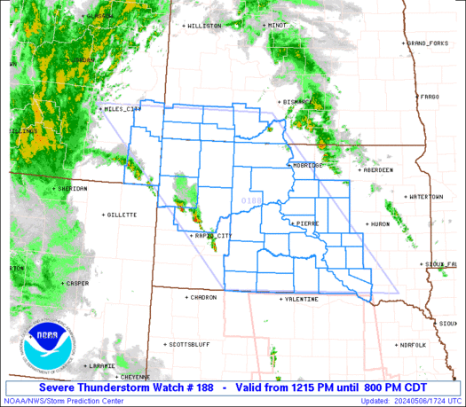
URGENT - IMMEDIATE BROADCAST REQUESTED
Tornado Watch Number 188
NWS Storm Prediction Center Norman OK
545 PM CDT Wed May 6 2026

The NWS Storm Prediction Center has issued a

* Tornado Watch for portions of
  Northern and Western Georgia
  Western South Carolina

* Effective this Wednesday afternoon and Thursday morning from
  545 PM until 100 AM CDT.

* Primary threats include...
  A couple tornadoes possible
  Scattered damaging wind gusts to 70 mph possible
  Isolated large hail events to 1.5 inches in diameter possible

SUMMARY...Severe storm potential should increase this evening,
initially across both west-central/southwest Georgia as well as
northern Georgia near an earlier boundary. Damaging winds, some
hail, as well as a tornado risk will be possible regionally.

The tornado watch area is approximately along and 55 statute miles
east and west of a line from 50 miles south southeast of Columbus GA
to 75 miles north northwest of Athens GA. For a complete depiction
of the watch see the associated watch outline update (WOUS64 KWNS
WOU8).

PRECAUTIONARY/PREPAREDNESS ACTIONS...

REMEMBER...A Tornado Watch means conditions are favorable for
tornadoes and severe thunderstorms in and close to the watch
area. Persons in these areas should be on the lookout for
threatening weather conditions and listen for later statements
and possible warnings.

&&

OTHER WATCH INFORMATION...CONTINUE...WW 186...WW 187...

AVIATION...Tornadoes and a few severe thunderstorms with hail
surface and aloft to 1.5 inches. Extreme turbulence and surface wind
gusts to 60 knots. A few cumulonimbi with maximum tops to 450. Mean
storm motion vector 26025.

...Guyer
Read morehttps://www.spc.noaa.gov/products/watch/ww0188.html
|
|


CMS The Best Conveyancing solicitors conveyancing quotes throughout the UK
For any webhosting enquiries please email webmaster@aus-city.com
|
|
Forums60
Topics790,275
Posts825,055
Members2,960
| |
Most Online102,106
Jul 10th, 2026
|
|
|


 - Click image for larger picture.")


