|
|
|
0 members (),
1,667
guests, and
25
robots. |
|
Key:
Admin,
Global Mod,
Mod
|
|
S |
M |
T |
W |
T |
F |
S |
|
|
|
|
|
1
|
2
|
3
|
|
4
|
5
|
6
|
7
|
8
|
9
|
10
|
|
11
|
12
|
13
|
14
|
15
|
16
|
17
|
|
18
|
19
|
20
|
21
|
22
|
23
|
24
|
|
25
|
26
|
27
|
28
|
29
|
30
|
31
|
|
There are no members with birthdays on this day. |

Volcano earthquake report for Thursday, 22 October 2026
• M 0.9 - 35 km WNW of Chignik Lake, Alaska
• M 3.0 - 3 km W of Columbia City, Oregon
• M 1.1 - 22 km ESE of Anza, CA
• M 1.8 - 4 km SW of San Juan Bautista, CA
• M 3.2 - 23 km WSW of Gustine, CA
|

#891442
Sat 03 Oct 2026 07:44:AM
|
Joined: Feb 2001
Posts: 678,977
Launch Director
|
|
Launch Director
Joined: Feb 2001
Posts: 678,977 |
SPC Oct 3, 2026 Day 4-8 Severe Weather OutlookDay 4-8 Outlook 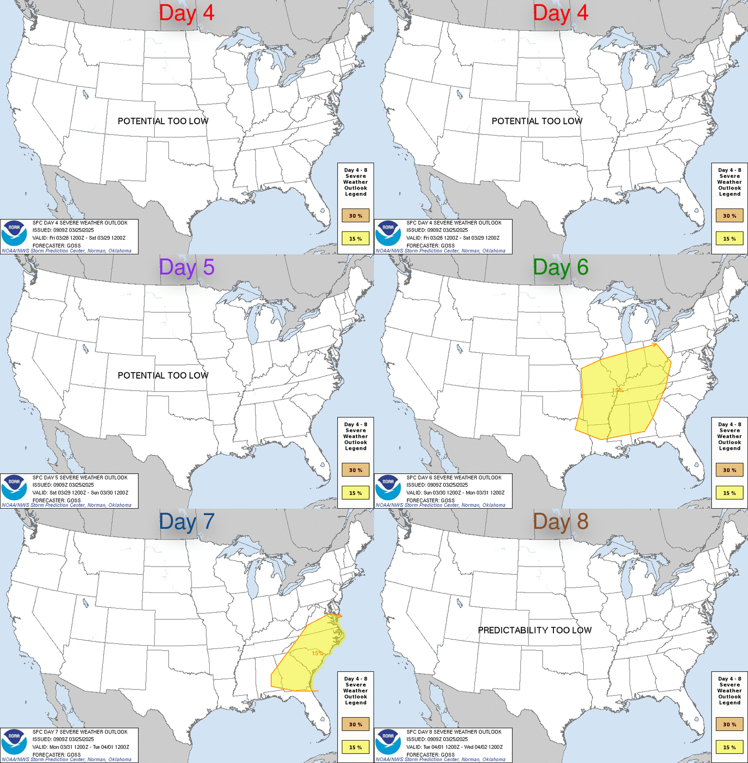
Day 4-8 Convective Outlook
NWS Storm Prediction Center Norman OK
0240 AM CDT Sat Oct 03 2026

Valid 061200Z - 111200Z

...DISCUSSION...
Severe weather potential is forecast to be low across the CONUS
through the period.

Northwest flow aloft is forecast to persist from the northern
Rockies & Plains eastward into the northeastern states. Periodic
embedded waves and associated frontal intrusions will maintain a
relatively stable air mass across the same areas, while the more
substantial low-level moisture and instability remain largely over
the Gulf of America and western Atlantic Ocean.

Some low-end thunderstorm potential will be possible late Thur/D6
into Fri/D7 over the Upper Midwest, with primarily late day/evening
elevated thunderstorms possible as the large-scale trough over
eastern Canada starts to lift, and low-level warm advection occurs
over the northern Plains.
Read morehttps://www.spc.noaa.gov/products/exper/day4-8/
|
|



CMS The Best Conveyancing solicitors conveyancing quotes throughout the UK
For any webhosting enquiries please email webmaster@aus-city.com
|
|
Forums60
Topics889,086
Posts923,883
Members2,960
| |
Most Online102,106
Jul 10th, 2026
|
|
|
|
|

|









































