|
0 members (),
1,194
guests, and
25
robots. |
|
Key:
Admin,
Global Mod,
Mod
|
|
S |
M |
T |
W |
T |
F |
S |
|
|
|
|
|
1
|
2
|
3
|
|
4
|
5
|
6
|
7
|
8
|
9
|
10
|
|
11
|
12
|
13
|
14
|
15
|
16
|
17
|
|
18
|
19
|
20
|
21
|
22
|
23
|
24
|
|
25
|
26
|
27
|
28
|
29
|
30
|
31
|
|
There are no members with birthdays on this day. |
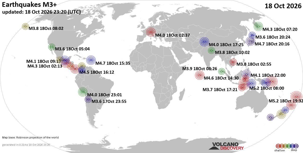
World Earthquake Report for Sunday, 18 October 2026
• M -0.9 - 65 km ENE of Pedro Bay, Alaska
• M 1.0 - 22 km SW of New Idria, CA
• M 2.7 - 18 km SW of Jal, New Mexico
• M 2.7 - 18 km SW of Jal, New Mexico
• M 1.1 - 2 km SSW of San Ramon, CA
• M 2.0 - 23 km NW of Fishhook, Alaska
|
|
|
Joined: Feb 2001
Posts: 678,977
Launch Director
|
|
Launch Director
Joined: Feb 2001
Posts: 678,977 |
SPC Day 3-8 Fire Weather OutlookSPC Day 3-8 Fire Weather Outlook 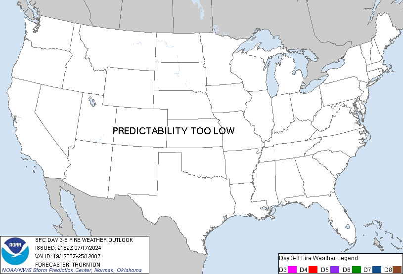
Day 3-8 Fire Weather Outlook
NWS Storm Prediction Center Norman OK
0350 PM CDT Sun Oct 18 2026

Valid 201200Z - 261200Z

..Synopsis...
The upper pattern will remain fairly stagnant across the eastern
CONUS through the first half of the workweek. Upper ridging will
continue over the central U.S. as a cut-off low meanders along the
Atlantic coast through Day 4/Wednesday. With surface high pressure
centered to the north and upper ridging over the central U.S., warm
and dry conditions will prevail in the Southeast. Fuels across this
region are expected to grow increasingly more receptive,
particularly in the lower MS River Valley where forecast ERCs are
portrayed at or above the 95th percentile by Day 4/Wednesday.
Lighter prevailing winds should keep broader fire weather concerns
low, however. Ensemble guidance depicts upper ridging may transition
into the eastern CONUS late in the forecast period, indicating the
return of widespread above normal temperatures amid a persisting dry
airmass.

Farther west, a closed low will position just off the coast of
western CA on Days 3-4/Tuesday-Wednesday. This system will have a
slow forward progression into the Interior West, ejecting into the
Great Plains late-week/next weekend. This pattern should bring
additional precipitation and cooler temperatures to much of the
Intermountain West, and potentially provide some relief to a drying
fuelscape across the Coast Ranges and Sierra Nevada in California.

..Elizalde-Garcia.. 10/18/2026

...Please see www.spc.noaa.gov/fire for graphic product...
Read morehttps://www.spc.noaa.gov/products/exper/fire_wx/
|
|



CMS The Best Conveyancing solicitors conveyancing quotes throughout the UK
For any webhosting enquiries please email webmaster@aus-city.com
|
|
Forums60
Topics882,044
Posts916,841
Members2,960
| |
Most Online102,106
Jul 10th, 2026
|
|
|









































