|
|
|
0 members (),
1,555
guests, and
25
robots. |
|
Key:
Admin,
Global Mod,
Mod
|
|
S |
M |
T |
W |
T |
F |
S |
|
|
|
|
|
1
|
2
|
3
|
|
4
|
5
|
6
|
7
|
8
|
9
|
10
|
|
11
|
12
|
13
|
14
|
15
|
16
|
17
|
|
18
|
19
|
20
|
21
|
22
|
23
|
24
|
|
25
|
26
|
27
|
28
|
29
|
30
|
31
|
|
There are no members with birthdays on this day. |
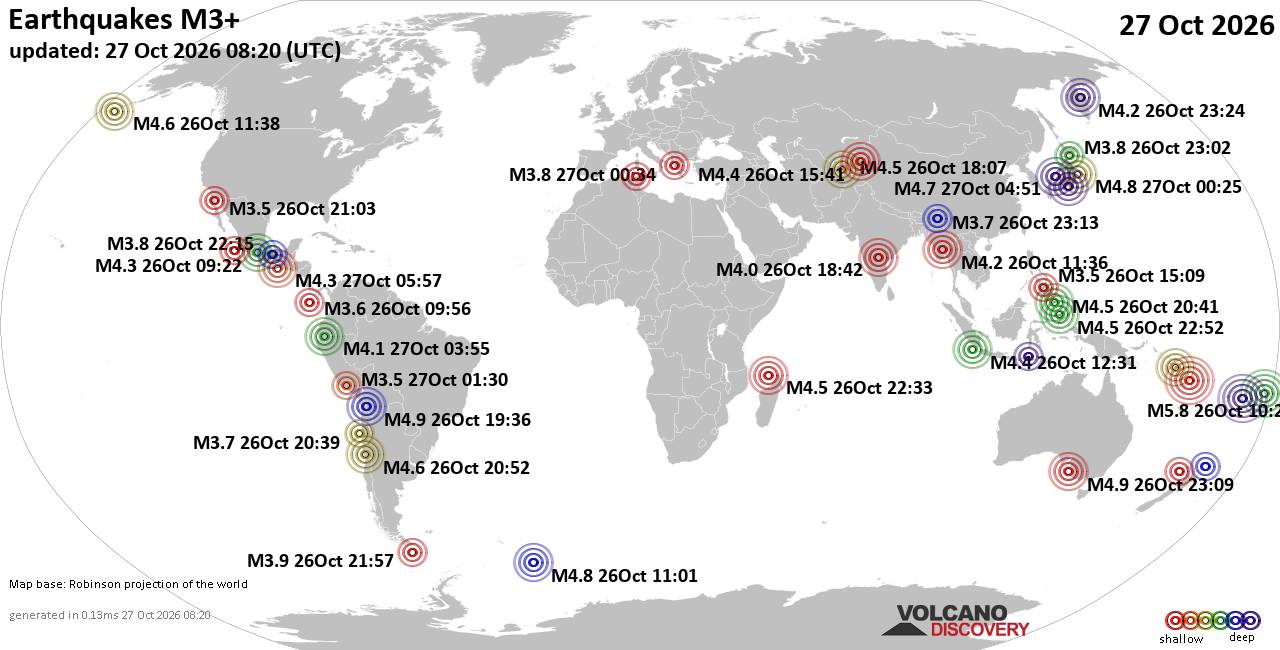
World Earthquake Report for Tuesday, 27 October 2026
• Volcano earthquake report for Tuesday, 27 October 2026
• Seismic-like event, possible earthquake, reported minutes ago near Fes, Fè...
• M 4.8 - 8 km WSW of Pitaloza Arriba, Panama
• M 2.0 - 40 km SSE of Denali National Park, Alaska
• M 2.2 - 20 km ESE of Julian, CA
|
|
|
Joined: Feb 2001
Posts: 678,977
Launch Director
|
|
Launch Director
Joined: Feb 2001
Posts: 678,977 |
SPC Day 1 Fire Weather OutlookSPC Day 1 Fire Weather Outlook 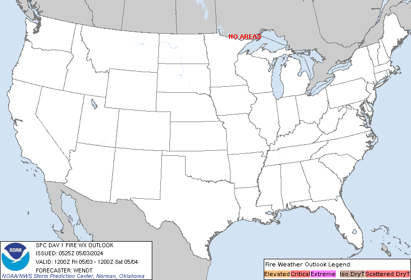
Day 1 Fire Weather Outlook
NWS Storm Prediction Center Norman OK
1253 AM CDT Tue Oct 27 2026

Valid 271200Z - 281200Z

...NO CRITICAL AREAS...

...Synopsis...
Fire weather concerns remain low across the CONUS today. A robust
60-70 kt mid-level jet on the southern periphery of an upper trough
will overspread WY into the northern Plains. Surface lee troughing
across the northern High Plains and the presence of a strong
mid-level jet will support downslope enhanced westerly winds of
20-30 mph and minimum RH of 20% across portions of central/eastern
WY into western SD. However, cooler daytime high temperatures in the
50s to low 60s amid a marginal fuel environment will limit a broader
fire weather threat.

..Elizalde-Garcia.. 10/27/2026

...Please see www.spc.noaa.gov/fire for graphic product...
Read morehttps://www.spc.noaa.gov/products/fire_wx/fwdy1.html
|
|



CMS The Best Conveyancing solicitors conveyancing quotes throughout the UK
For any webhosting enquiries please email webmaster@aus-city.com
|
|
Forums60
Topics896,220
Posts931,017
Members2,960
| |
Most Online102,106
Jul 10th, 2026
|
|
|
|
|

|









































