|
|
|
0 members (),
1,727
guests, and
29
robots. |
|
Key:
Admin,
Global Mod,
Mod
|
|
S |
M |
T |
W |
T |
F |
S |
|
1
|
2
|
3
|
4
|
5
|
6
|
7
|
|
8
|
9
|
10
|
11
|
12
|
13
|
14
|
|
15
|
16
|
17
|
18
|
19
|
20
|
21
|
|
22
|
23
|
24
|
25
|
26
|
27
|
28
|
|
29
|
30
|
|
|
|
|
|
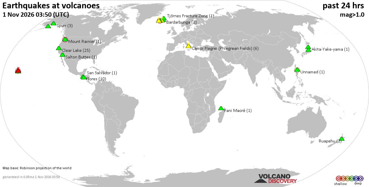
Volcano earthquake report for Sunday, 1 November 2026
• M 4.9 - 204 km ENE of Nagqu, China
• M 2.1 - 55 km WNW of Skwentna, Alaska
• M 1.8 - 45 km SSE of Denali National Park, Alaska
• M 6.0 - 58 km SSE of Shima, Japan
• M 4.6 - 101 km SW of Basco, Philippines
|
|
|
Joined: Feb 2001
Posts: 678,977
Launch Director
|
|
Launch Director
Joined: Feb 2001
Posts: 678,977 |
SPC Nov 1, 2026 Day 4-8 Severe Weather OutlookDay 4-8 Outlook 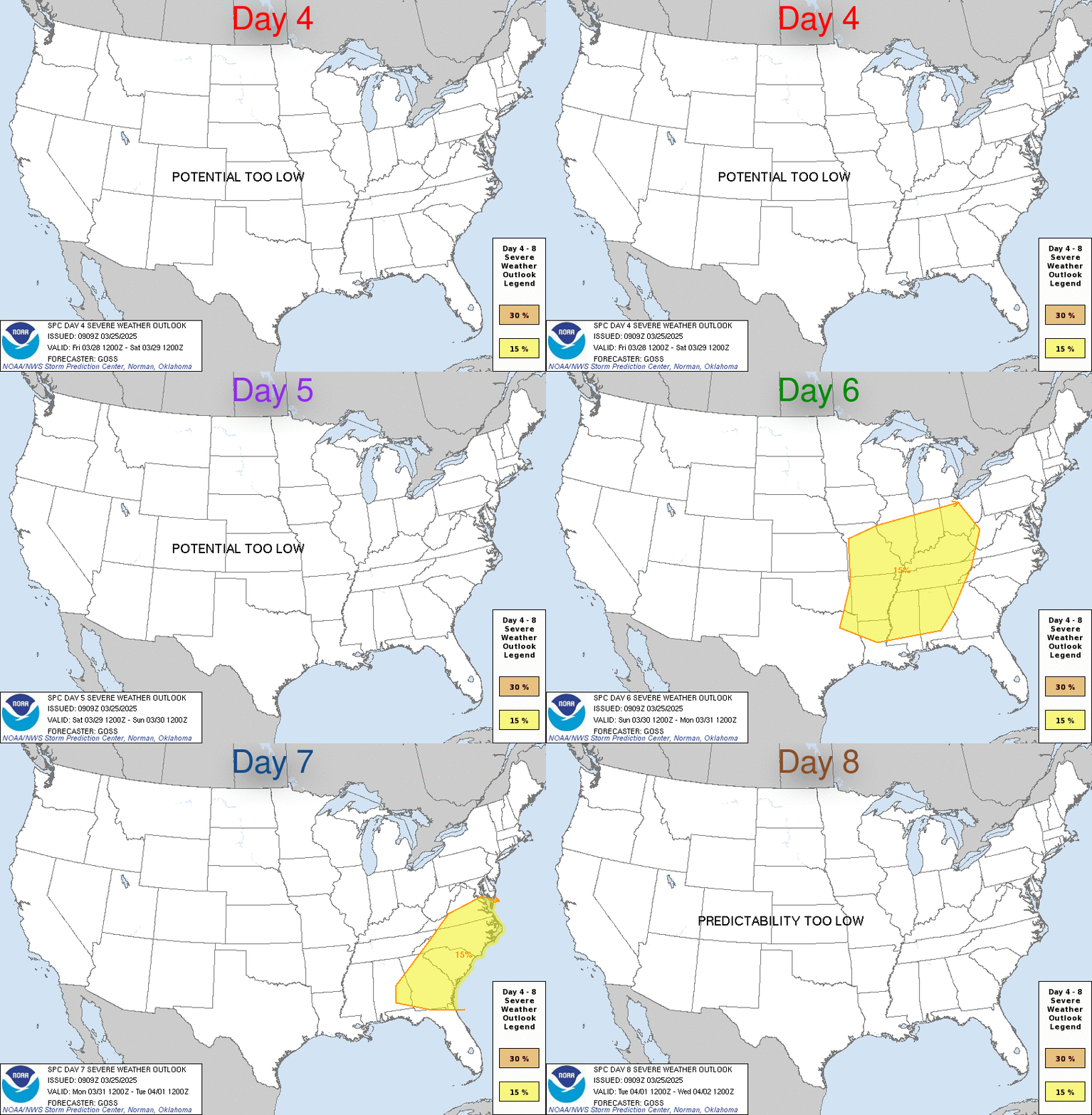
Day 4-8 Convective Outlook
NWS Storm Prediction Center Norman OK
0331 AM CST Sun Nov 01 2026

Valid 041200Z - 091200Z

...DISCUSSION...
An upper trough will move from the MS Valley toward the OH Valley
and Great Lakes on Wed/D4, with a secondary trough moving across the
Four Corners and into the Southern Plains. An occluded surface low
will also move across the upper Great Lakes, with a cold front
moving across the OH/TN Valleys and toward the Appalachians. While
low-level moisture will support rain and thunderstorms along this
front, the lifting of the upper system and weak instability will
result in decreasing severe risk. This weakening trend should
continue into Thu/D5 as the front moves across the Mid Atlantic and
off the East Coast. Behind these systems, the pattern will favor
high pressure and minimal chances of thunderstorms.
Read morehttps://www.spc.noaa.gov/products/exper/day4-8/
|
|



CMS The Best Conveyancing solicitors conveyancing quotes throughout the UK
For any webhosting enquiries please email webmaster@aus-city.com
|
|
Forums60
Topics905,532
Posts940,329
Members2,960
| |
Most Online102,106
Jul 10th, 2026
|
|
|
|
|

|









































