|
0 members (),
2,197
guests, and
25
robots. |
|
Key:
Admin,
Global Mod,
Mod
|
|
S |
M |
T |
W |
T |
F |
S |
|
1
|
2
|
3
|
4
|
5
|
6
|
7
|
|
8
|
9
|
10
|
11
|
12
|
13
|
14
|
|
15
|
16
|
17
|
18
|
19
|
20
|
21
|
|
22
|
23
|
24
|
25
|
26
|
27
|
28
|
|
29
|
30
|
|
|
|
|
|
|
There are no members with birthdays on this day. |

Volcano earthquake report for Sunday, 22 November 2026
• Moderate mag. 4.5 earthquake - 73 km north of Calama, Provincia de El Loa, ...
• Magnitude 5.2 earthquake strikes near Cerro de Pasco, Pasco Province, Depar...
• M 2.0 - 8 km NW of Pinnacles, CA
• M 2.7 - 26 km WNW of Yachats, Oregon
• M 5.0 - 15 km NNE of Carhuamayo, Peru
|

#974830
Fri 20 Nov 2026 09:44:PM
|
Joined: Feb 2001
Posts: 800,656
Launch Director
|
|
Launch Director
Joined: Feb 2001
Posts: 800,656 |
SPC Day 3-8 Fire Weather OutlookSPC Day 3-8 Fire Weather Outlook 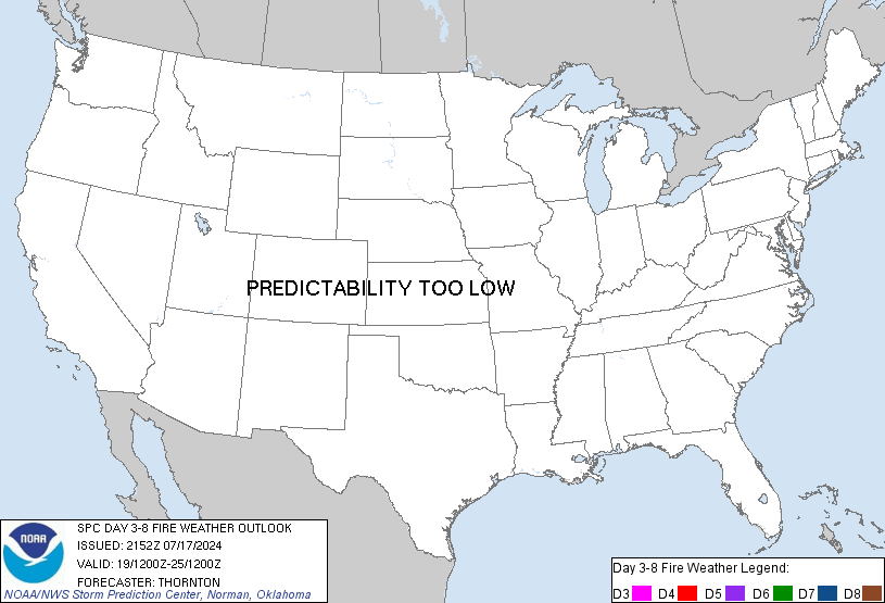
Day 3-8 Fire Weather Outlook
NWS Storm Prediction Center Norman OK
0339 PM CST Fri Nov 20 2026

Valid 221200Z - 281200Z

...Synopsis...
A de-amplifying upper trough will move into the eastern U.S. on
D3/Sunday as a strong cold front advances through the Great Lakes,
stretching southwestward into the Southern Plains. Cloud cover and
light precipitation associated with the cold front should move into
the Ohio River Valley and Appalachians by D4/Monday, resulting in
some improvement in fuel conditions and a reduction in fire weather
concerns across the region.

An active upper wave pattern will continue for the Day
4-8/Monday-Friday period. However, the latest medium range
model/ensemble guidance does not indicate defined areas where dry
and breezy conditions align over sufficiently dry fuels. Cluster
analysis shows a more westerly/northwesterly flow pattern aloft
likely developing by the end of the week over the Continental Divide
in advance of a building ridge over the western U.S. However,
preceding light precipitation early next week and marginal forecast
fuel conditions are expected to attenuate impacts from dry/breezy
downslope flow along the High Plains.

..Williams.. 11/20/2026

...Please see www.spc.noaa.gov/fire for graphic product...
Read morehttps://www.spc.noaa.gov/products/exper/fire_wx/
|
|



CMS The Best Conveyancing solicitors conveyancing quotes throughout the UK
For any webhosting enquiries please email webmaster@aus-city.com
|
|
Forums60
Topics940,686
Posts975,483
Members2,960
| |
Most Online102,106
Jul 10th, 2026
|
|
|









































