|
|
|
0 members (),
3,950
guests, and
23
robots. |
|
Key:
Admin,
Global Mod,
Mod
|
|
S |
M |
T |
W |
T |
F |
S |
|
|
|
|
|
1
|
2
|
3
|
|
4
|
5
|
6
|
7
|
8
|
9
|
10
|
|
11
|
12
|
13
|
14
|
15
|
16
|
17
|
|
18
|
19
|
20
|
21
|
22
|
23
|
24
|
|
25
|
26
|
27
|
28
|
29
|
30
|
31
|
|
There are no members with birthdays on this day. |
|
|
|
|
|
|
|
|
|
|
SPC MD 67
by Webmaster - Sat 31 Jan 2026 04:51:PM
|
|
|
|
|
|
|
|
|
|
|
Joined: Feb 2001
Posts: 381,904
Launch Director
|
OP

Launch Director
Joined: Feb 2001
Posts: 381,904 |
SPC MD 67MD 0067 CONCERNING HEAVY SNOW FOR PIEDMONT OF UPSTATE SOUTH CAROLINA INTO NORTH CAROLINA 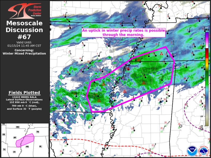
Mesoscale Discussion 0067
NWS Storm Prediction Center Norman OK
0942 AM CST Sat Jan 31 2026

Areas affected...Piedmont of Upstate South Carolina into North
Carolina

Concerning...Heavy snow

Valid 311542Z - 311945Z

SUMMARY...Heavy hourly snow rates around or in excess of 1 inch per
hour may become increasingly common across the Carolina Piedmont
vicinity through 1-4 PM EST.

DISCUSSION...To this point, it appears that peak hourly snow rates
within an area of snow spreading across and to the lee of the
southern Appalachians have remained relatively modest.  Precipitable
water across the Piedmont is generally around or below .35 inches,
with lower values to the west/northwest.  Saturating temperature
profiles are well below freezing, but temperatures conducive to
dendritic ice crystal growth appear initially centered around 700
mb, somewhat low and perhaps not most optimal for larger dendritic
ice crystal growth and aggregation.

However, latest model output suggests that the deep, digging
upstream short wave trough/elongated cyclonic circulation will
gradually take on a more neutral orientation while pivoting across
and southwest of the southern Appalachians through 18-21Z.
Increasingly difluent and divergent mid/upper flow to the northeast
of this feature is forecast to contribute to a period of
strengthening upward vertical motion across the Carolina Piedmont.
This may be enhanced by a band of strengthening frontogenetic
forcing in the 800-700 mb layer, where forecast soundings indicate
cooling profiles will contribute to further lowering, but deepening,
of the dendritic growth zone.  As this occurs, high resolution model
output, among other guidance, suggests increasing potential for
hourly snow rates in excess of 1 inch per hour, which may persist,
at least on an off, through much of the afternoon.

..Kerr.. 01/31/2026

...Please see www.spc.noaa.gov for graphic product...

ATTN...WFO...RAH...RNK...CAE...GSP...

LAT...LON   35548200 36768021 35767929 34778073 34438187 35548200
Read morehttps://www.spc.noaa.gov/products/md/md0067.html
|
|


CMS The Best Conveyancing solicitors conveyancing quotes throughout the UK
For any webhosting enquiries please email webmaster@aus-city.com
|
|
Forums60
Topics759,723
Posts794,439
Members2,958
| |
Most Online17,963
Jan 15th, 2026
|
|
|
|
|
Copyright 1996 - 2026 by David Cottle. Designed by David Bate Jr. All Rights Reserved.
By using this forum, the user agrees not to transfer any data or technical information received under the agreement, to any other entity without the express approval of the AUS-CITY Forum Admins and/or authors of individual posts (Forum Admins and DoD/USSPACECOM for the analysis of satellite tracking data).
Two-line elements (TLE) and all other satellite data presented and distributed via this forum and e-mail lists of AUS-CITY are distributed with permission from DoD/USSTRATCOM.

Reprise Hosting

|

|


 - Click image for larger picture.")


