|
0 members (),
1,074
guests, and
26
robots. |
|
Key:
Admin,
Global Mod,
Mod
|
|
S |
M |
T |
W |
T |
F |
S |
|
|
|
|
|
1
|
2
|
3
|
|
4
|
5
|
6
|
7
|
8
|
9
|
10
|
|
11
|
12
|
13
|
14
|
15
|
16
|
17
|
|
18
|
19
|
20
|
21
|
22
|
23
|
24
|
|
25
|
26
|
27
|
28
|
29
|
30
|
31
|
|
There are no members with birthdays on this day. |
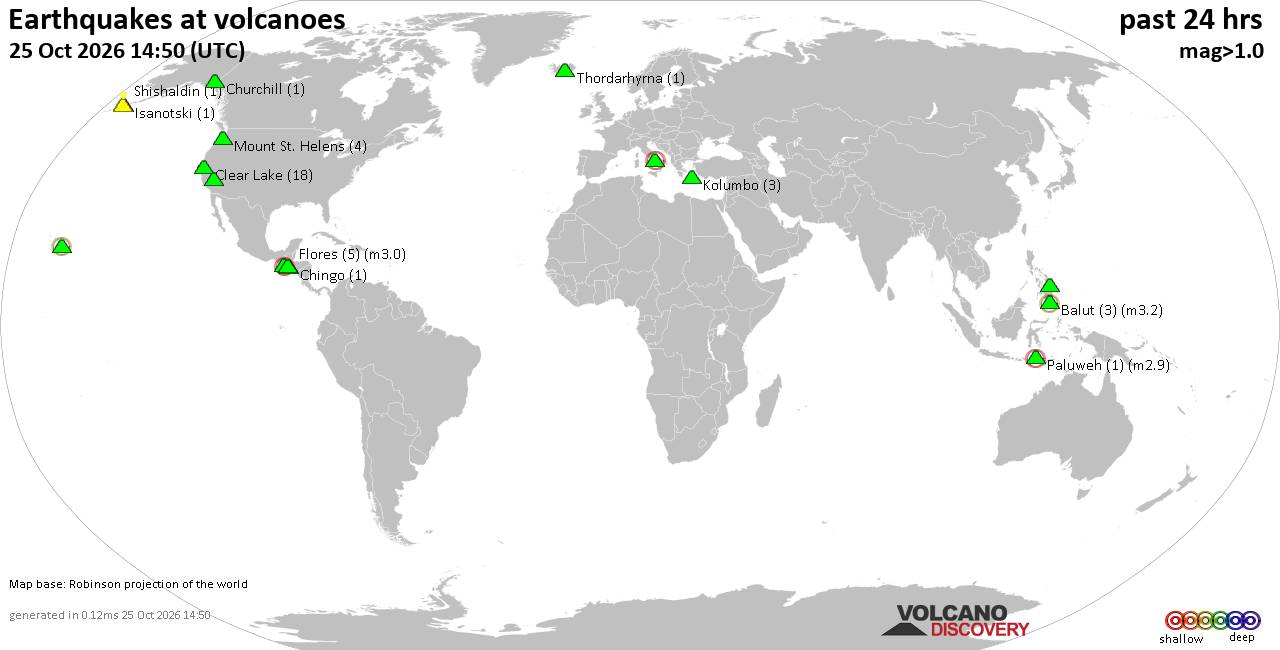
Volcano earthquake report for Sunday, 25 October 2026
• M 3.0 - 263 km SE of Chiniak, Alaska
• M 5.0 - 42 km NNW of Ruteng, Indonesia
• M 0.4 - 63 km WNW of Beluga, Alaska
• M 0.4 - 84 km NNW of Karluk, Alaska
• M 0.5 - 68 km WNW of Beluga, Alaska
|
|
|
Joined: Feb 2001
Posts: 678,977
Launch Director
|
|
Launch Director
Joined: Feb 2001
Posts: 678,977 |
SPC Day 3-8 Fire Weather OutlookSPC Day 3-8 Fire Weather Outlook 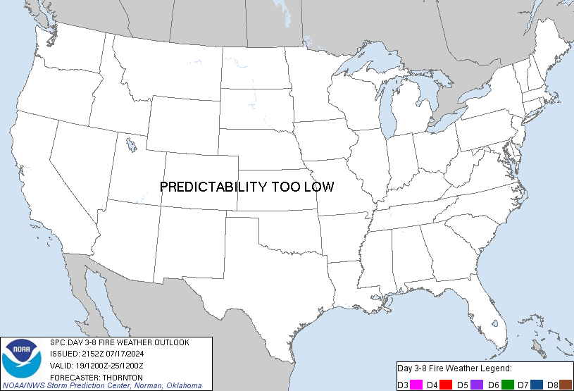
Day 3-8 Fire Weather Outlook
NWS Storm Prediction Center Norman OK
0444 PM CDT Sun Oct 25 2026

Valid 271200Z - 021200Z

...Synopsis...
A series of mid-level short wave troughs will eject northeastward
into the Central Plains and Upper Midwest through Day 5/Thursday,
supporting areas of precipitation across the Plains towards the
Great Lakes through midweek. A strong mid-level jet stretching from
the Great Basin to the Northern Plains will couple with an evolving
surface trough in eastern MT to support enhanced westerly winds
across portions of eastern/northeastern WY Day 3/Tuesday. However,
marginal fuels, limited RH reductions and cooler temperatures should
mitigate a broader fire weather threat across WY.

A broader trough pattern with an increasing southwesterly flow
component returns across the western U.S. through the end of the
week. Ridging will likely remain in place across the eastern U.S.
promoting persistent dry and warm conditions across much of the Deep
South. Fuels are driest across the lower MS River Basin but light
surface winds will tend to limit significant fire weather concerns
through the week.

..Williams.. 10/25/2026

...Please see www.spc.noaa.gov/fire for graphic product...
Read morehttps://www.spc.noaa.gov/products/exper/fire_wx/
|
|



CMS The Best Conveyancing solicitors conveyancing quotes throughout the UK
For any webhosting enquiries please email webmaster@aus-city.com
|
|
Forums60
Topics893,828
Posts928,625
Members2,960
| |
Most Online102,106
Jul 10th, 2026
|
|
|









































