|
0 members (),
1,391
guests, and
26
robots. |
|
Key:
Admin,
Global Mod,
Mod
|
|
S |
M |
T |
W |
T |
F |
S |
|
|
|
|
|
1
|
2
|
3
|
|
4
|
5
|
6
|
7
|
8
|
9
|
10
|
|
11
|
12
|
13
|
14
|
15
|
16
|
17
|
|
18
|
19
|
20
|
21
|
22
|
23
|
24
|
|
25
|
26
|
27
|
28
|
29
|
30
|
31
|
|
There are no members with birthdays on this day. |
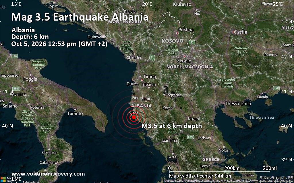
Magnitude 3.5 earthquake strikes near Vlore, Bashkia Vlorë, Qarku i Vlores, Albania
• World Earthquake Report for Monday, 5 October 2026
• M 5.5 - Volcano Islands, Japan region
• M 1.9 - 15 km ESE of Pearsall, Texas
• M 0.8 - 5 km SSW of Redlands, CA
• M 3.0 - 50 km WNW of Ninilchik, Alaska
|

#113534
Tue 28 Aug 2012 07:20:PM
|
Joined: Feb 2001
Posts: 678,977
Launch Director
|
|
Launch Director
Joined: Feb 2001
Posts: 678,977 |
In an eerie coincidence, Hurricane Isaac has spun up to Category 1 strength over warm Gulf waters and is predicted to hit southeastern Louisiana and possibly New Orleans directly seven years to the day after Hurricane Katrina slammed the Crescent City. The tropical cyclone will likely be no stronger than a Category 2 on the Saffir-Simpson scale when it hits land later tonight or early tomorrow, a full step below Hurricane Katrina, which hit land as a Category 3 storm. But even a Category 2 with sustained winds above 150 kilometers-per-hour or, for that matter, a tropical storm can boast pressures and winds strong enough to produce a monster storm surge of Gulf waters, particularly if the timing of landfall coincides with high tide. As it stands, Isaac’s current 97.6 kilopascals of pressure and sustained winds of more than 100 km/h are enough to produce a surge of as much as 4.5 meters onto southeastern Louisiana. The National Weather Service is suggesting that residents keep an axe on hand if they choose to hunker down in place and ride out the storm, just in case they have to chop through their roof and that “life threatening” flooding may occur in areas outside of “hurricane protection levees.” Isaac appears to be on course to take the eastern approach to the Big Easy, raising the risk that “sections of west Jefferson, east St. Charles and lower Lafourche hurricane protection levees could be overtopped.” [More]          Source: Hurricane Isaac Strengthens and Takes Aim at New Orleans
David Cottle
UBB Owner & Administrator
|
|



CMS The Best Conveyancing solicitors conveyancing quotes throughout the UK
For any webhosting enquiries please email webmaster@aus-city.com
|
|
Entire Thread
|
 Hurricane Isaac Strengthens and Takes Aim at New Orleans
|
Webmaster
|
Tue 28 Aug 2012 07:20:PM
|
|
Forums60
Topics857,598
Posts892,393
Members2,960
| |
Most Online102,106
Jul 10th, 2026
|
|
|









































