|
|
|
0 members (),
3,875
guests, and
26
robots. |
|
Key:
Admin,
Global Mod,
Mod
|
|
S |
M |
T |
W |
T |
F |
S |
|
1
|
2
|
3
|
4
|
5
|
6
|
7
|
|
8
|
9
|
10
|
11
|
12
|
13
|
14
|
|
15
|
16
|
17
|
18
|
19
|
20
|
21
|
|
22
|
23
|
24
|
25
|
26
|
27
|
28
|
|
29
|
30
|
|
|
|
|
|
|
There are no members with birthdays on this day. |
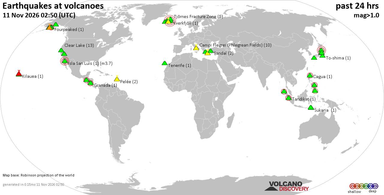
Volcano earthquake report for Wednesday, 11 November 2026
• M 2.5 - 39 km SW of Karluk, Alaska
• M 1.5 - 12 km ESE of Mammoth Lakes, CA
• M 2.2 - 88 km SE of Akutan, Alaska
• M 1.8 - 14 km E of Pearsall, Texas
• M 2.1 - 28 km SSW of Larsen Bay, Alaska
• M 1.6 - 64 km NW of Tatitlek, Alaska
|

#258516
Thu 16 Oct 2014 09:06:PM
|
Joined: Feb 2001
Posts: 800,656
Launch Director
|
|
Launch Director
Joined: Feb 2001
Posts: 800,656 |
The first detailed map of aboveground forest carbon stocks of Mexico has been released by researchers. This carbon stock inventory is very valuable for Mexico, as one of the first tropical nations to voluntarily pledge to mitigation actions within the context of the United Nation's Reducing Emissions from Deforestation and forest Degradation program.  Source: First detailed map of aboveground forest carbon stocks in Mexico unveiled
David Cottle
UBB Owner & Administrator
|
|



CMS The Best Conveyancing solicitors conveyancing quotes throughout the UK
For any webhosting enquiries please email webmaster@aus-city.com
|
|
Entire Thread
|
 First detailed map of aboveground forest carbon stocks in Mexico unveiled |
Webmaster
|
Thu 16 Oct 2014 09:06:PM
|
|
Forums60
Topics922,587
Posts957,384
Members2,960
| |
Most Online102,106
Jul 10th, 2026
|
|
|
|
|

|









































