|
|
|
0 members (),
5,299
guests, and
30
robots. |
|
Key:
Admin,
Global Mod,
Mod
|
|
S |
M |
T |
W |
T |
F |
S |
|
1
|
2
|
3
|
4
|
5
|
6
|
7
|
|
8
|
9
|
10
|
11
|
12
|
13
|
14
|
|
15
|
16
|
17
|
18
|
19
|
20
|
21
|
|
22
|
23
|
24
|
25
|
26
|
27
|
28
|
|
There are no members with birthdays on this day. |

#697304
Thu 31 Aug 2023 11:44:PM
|
Joined: Feb 2001
Posts: 381,904
Launch Director
|
OP

Launch Director
Joined: Feb 2001
Posts: 381,904 |
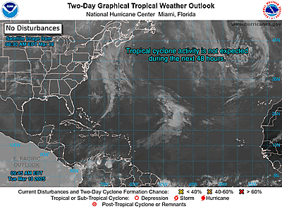
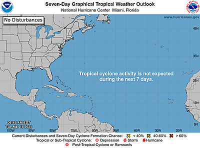
NHC Atlantic Outlook


ZCZC MIATWOAT ALL
TTAA00 KNHC DDHHMM
Tropical Weather Outlook
NWS National Hurricane Center Miami FL
800 PM EDT Thu Aug 31 2023
For the North Atlantic...Caribbean Sea and the Gulf of Mexico:
Active Systems:
The National Hurricane Center is issuing advisories on Hurricane
Franklin, located a few hundred miles northeast of Bermuda, on
Post-Tropical Cyclone Idalia, located off the coast of North
Carolina, and on Tropical Storm Jose, located several hundred miles
east of Bermuda.
1. Eastern Tropical Atlantic (AL94):
Showers and thunderstorms continue to show signs of organization in
association with an elongated area of low pressure located just
west of the Cabo Verde Islands. A short-lived tropical depression
or tropical storm is expected to form later tonight or on Friday
while the system moves northwestward at 10 to 15 mph across the
eastern tropical Atlantic.
* Formation chance through 48 hours...high...90 percent.
* Formation chance through 7 days...high...90 percent.
2. Central Subtropical Atlantic (Remnants of Gert):
A small area of low pressure located several hundred miles
north-northeast of the northern Leeward Islands is producing small
bursts of showers and thunderstorms to the south of its center. This
system has a short window to become a tropical depression during the
next day or so while it drifts northeastward or eastward, before
upper-level winds become increasingly unfavorable by the weekend.
* Formation chance through 48 hours...medium...40 percent.
* Formation chance through 7 days...medium...40 percent.
3. Eastern and Central Tropical Atlantic:
A tropical wave is expected to move off the west coast of Africa
this weekend. Environmental conditions could support some gradual
development of this system through the middle part of next week
while it moves westward to west-northwestward over the eastern and
central portions of the tropical Atlantic.
* Formation chance through 48 hours...low...near 0 percent.
* Formation chance through 7 days...low...30 percent.
Forecaster Bucci/Cangialosi
|
|


CMS The Best Conveyancing solicitors conveyancing quotes throughout the UK
For any webhosting enquiries please email webmaster@aus-city.com
|
|
Entire Thread
|

 NHC Atlantic Outlook
|
Webmaster
|
Thu 31 Aug 2023 11:44:PM
|
|
Forums60
Topics762,598
Posts797,329
Members2,957
| |
Most Online17,963
Jan 15th, 2026
|
|
|
|
|
Copyright 1996 - 2026 by David Cottle. Designed by David Bate Jr. All Rights Reserved.
By using this forum, the user agrees not to transfer any data or technical information received under the agreement, to any other entity without the express approval of the AUS-CITY Forum Admins and/or authors of individual posts (Forum Admins and DoD/USSPACECOM for the analysis of satellite tracking data).
Two-line elements (TLE) and all other satellite data presented and distributed via this forum and e-mail lists of AUS-CITY are distributed with permission from DoD/USSTRATCOM.


Reprise Hosting


|

|