|
1 members (Alisa),
1,610
guests, and
25
robots. |
|
Key:
Admin,
Global Mod,
Mod
|
|
S |
M |
T |
W |
T |
F |
S |
|
1
|
2
|
3
|
4
|
5
|
6
|
7
|
|
8
|
9
|
10
|
11
|
12
|
13
|
14
|
|
15
|
16
|
17
|
18
|
19
|
20
|
21
|
|
22
|
23
|
24
|
25
|
26
|
27
|
28
|
|
29
|
30
|
|
|
|
|
|
|
There are no members with birthdays on this day. |
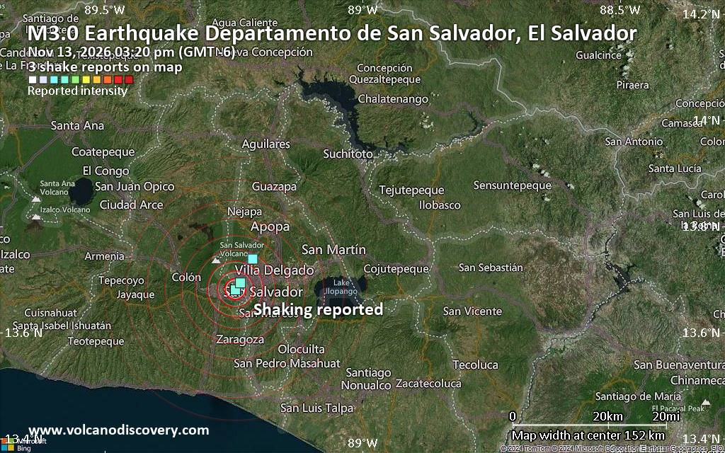
Seismic-like event, possible earthquake, reported minutes ago near San Salvador, San Salvador Department, El Salvador
• M 0.5 Other Event - 64 km ENE of Pedro Bay, Alaska
• M 1.7 - 16 km E of Pearsall, Texas
• M 4.8 - 10 km SW of Guaymate, Dominican Republic
• M 5.3 - 104 km SSE of Vilyuchinsk, Russia
• M 0.6 Other Event - 62 km ENE of Pedro Bay, Alaska
• M 1.8 - 37 km WSW of Mentone, Texas
|

#735330
Mon 09 Sep 2024 09:04:AM
|
Joined: Feb 2001
Posts: 800,656
Launch Director
|
|
Launch Director
Joined: Feb 2001
Posts: 800,656 |
NHC Atlantic Outlook
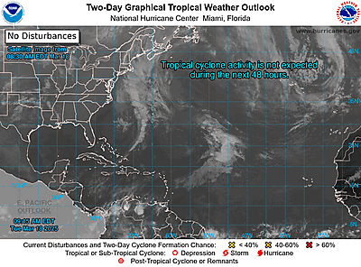
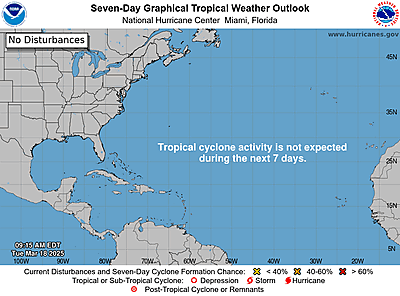
ZCZC MIATWOAT ALL
TTAA00 KNHC DDHHMM
Tropical Weather Outlook
NWS National Hurricane Center Miami FL
200 AM EDT Mon Sep 9 2024
For the North Atlantic...Caribbean Sea and the Gulf of Mexico:
Active Systems:
The National Hurricane Center is issuing advisories on Potential
Tropical Cyclone Six, located over the southwestern Gulf of Mexico.
* Formation chance through 48 hours...high...90 percent.
* Formation chance through 7 days...high...90 percent.
1. Central Tropical Atlantic (AL92):
An area of low pressure is producing disorganized showers and
thunderstorms over the central tropical Atlantic. Environmental
conditions appear generally conducive for development during the
next few days, and a tropical depression is expected to form while
the system meanders over the central tropical Atlantic. By the
middle of the week, the system should begin move
westward-northwestward at around 10 mph.
* Formation chance through 48 hours...medium...60 percent.
* Formation chance through 7 days...high...70 percent.
2. Eastern and Central Tropical Atlantic:
A trough of low pressure located several hundred miles
west-southwest of the Cabo Verde Islands is producing a broad area
of disorganized showers and thunderstorms. In a couple of days, this
trough is expected to interact with an approaching tropical wave.
Thereafter, Environmental conditions appear favorable for gradual
development of this system, and a tropical depression could form
during the middle to latter part of this week while the system moves
west-northwestward at 10 to 15 mph.
* Formation chance through 48 hours...low...near 0 percent.
* Formation chance through 7 days...medium...60 percent.
Public Advisories on Potential Tropical Cyclone Six are issued
under WMO header WTNT31 KNHC and under AWIPS header MIATCPAT1.
Forecast/Advisories on Potential Tropical Cyclone Six are issued
under WMO header WTNT21 KNHC and under AWIPS header MIATCMAT1.
Forecaster Kelly
|
|



CMS The Best Conveyancing solicitors conveyancing quotes throughout the UK
For any webhosting enquiries please email webmaster@aus-city.com
|
|
Entire Thread
|
 NHC Atlantic Outlook |
Webmaster
|
Mon 09 Sep 2024 09:04:AM
|
|
Forums60
Topics926,558
Posts961,355
Members2,960
| |
Most Online102,106
Jul 10th, 2026
|
|
|









































