|
0 members (),
3,324
guests, and
18
robots. |
|
Key:
Admin,
Global Mod,
Mod
|
|
S |
M |
T |
W |
T |
F |
S |
|
1
|
2
|
3
|
4
|
5
|
6
|
7
|
|
8
|
9
|
10
|
11
|
12
|
13
|
14
|
|
15
|
16
|
17
|
18
|
19
|
20
|
21
|
|
22
|
23
|
24
|
25
|
26
|
27
|
28
|
|
29
|
30
|
|
|
|
|
|
|
There are no members with birthdays on this day. |
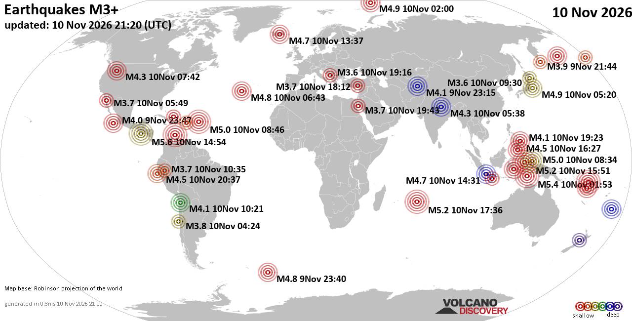
World Earthquake Report for Tuesday, 10 November 2026
• M -0.3 - 76 km NE of Nikolski, Alaska
• M 1.1 - 9 km S of Lake Henshaw, CA
• M 1.7 - 0 km SW of Pāhala, Hawaii
• M 1.2 - 26 km WSW of Westley, CA
• M 1.2 - 10 km W of Forsan, Texas
|

#736747
Fri 13 Sep 2024 02:30:AM
|
Joined: Feb 2001
Posts: 800,656
Launch Director
|
|
Launch Director
Joined: Feb 2001
Posts: 800,656 |
NHC Atlantic Outlook
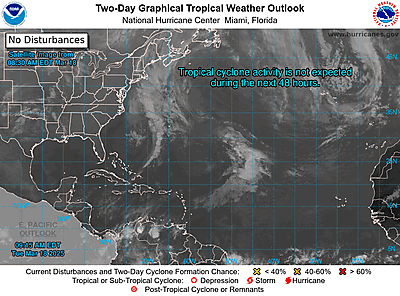
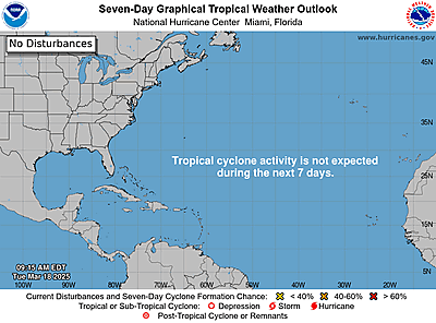
ZCZC MIATWOAT ALL
TTAA00 KNHC DDHHMM
Tropical Weather Outlook
NWS National Hurricane Center Miami FL
800 PM EDT Thu Sep 12 2024
For the North Atlantic...Caribbean Sea and the Gulf of Mexico:
Active Systems:
The National Hurricane Center is issuing advisories on Tropical
Depression Seven, located over the central Atlantic Ocean. The
Weather Prediction Center is issuing advisories on Post-Tropical
Cyclone Francine, located inland over the Mississippi, Missouri,
and Tennessee tri-state area.
1. East of the Leeward Islands (AL94):
Scattered showers and thunderstorms continue in association with a
small area of low pressure located a couple of hundred miles east of
the Leeward Islands. The proximity of dry air near the system is
expected to limit additional development over the next couple of
days. Environmental conditions are expected to become even less
conducive over the weekend while the system moves slowly
west-northwestward. Regardless of development, this system could
produce locally heavy rainfall and gusty winds across the northern
Leeward Islands on Friday.
* Formation chance through 48 hours...low...30 percent.
* Formation chance through 7 days...low...30 percent.
2. Offshore the Southeastern U.S.:
A non-tropical area of low pressure could form along a residual
frontal boundary a few hundred miles off the southeastern U.S.
coastline this weekend. Thereafter, some subtropical or tropical
development is possible during the early part of next week while the
system drifts to the north or northwest.
* Formation chance through 48 hours...low...near 0 percent.
* Formation chance through 7 days...low...30 percent.
Forecaster Bucci
|
|



CMS The Best Conveyancing solicitors conveyancing quotes throughout the UK
For any webhosting enquiries please email webmaster@aus-city.com
|
|
Entire Thread
|
 NHC Atlantic Outlook |
Webmaster
|
Fri 13 Sep 2024 02:30:AM
|
|
Forums60
Topics920,920
Posts955,717
Members2,960
| |
Most Online102,106
Jul 10th, 2026
|
|
|









































