|
|
|
0 members (),
2,772
guests, and
26
robots. |
|
Key:
Admin,
Global Mod,
Mod
|
|
S |
M |
T |
W |
T |
F |
S |
|
1
|
2
|
3
|
4
|
5
|
6
|
7
|
|
8
|
9
|
10
|
11
|
12
|
13
|
14
|
|
15
|
16
|
17
|
18
|
19
|
20
|
21
|
|
22
|
23
|
24
|
25
|
26
|
27
|
28
|
|
29
|
30
|
|
|
|
|
|
|
There are no members with birthdays on this day. |
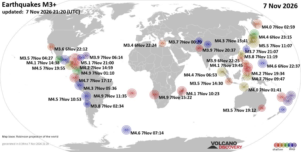
World Earthquake Report for Saturday, 7 November 2026
• Light mag. 3.9 earthquake - Indian Ocean, 115 km south of Banjar, Kabupaten...
• M 1.3 - 6 km NW of The Geysers, CA
• M 4.7 - 43 km ESE of Ambon, Indonesia
• M 5.5 - 10 km NW of Hamakita, Japan
• M 1.8 - 13 km W of Kalifornsky, Alaska
|

#737197
Sat 14 Sep 2024 08:45:AM
|
Joined: Feb 2001
Posts: 800,656
Launch Director
|
|
Launch Director
Joined: Feb 2001
Posts: 800,656 |
SPC Sep 14, 2024 Day 4-8 Severe Weather OutlookDay 4-8 Outlook 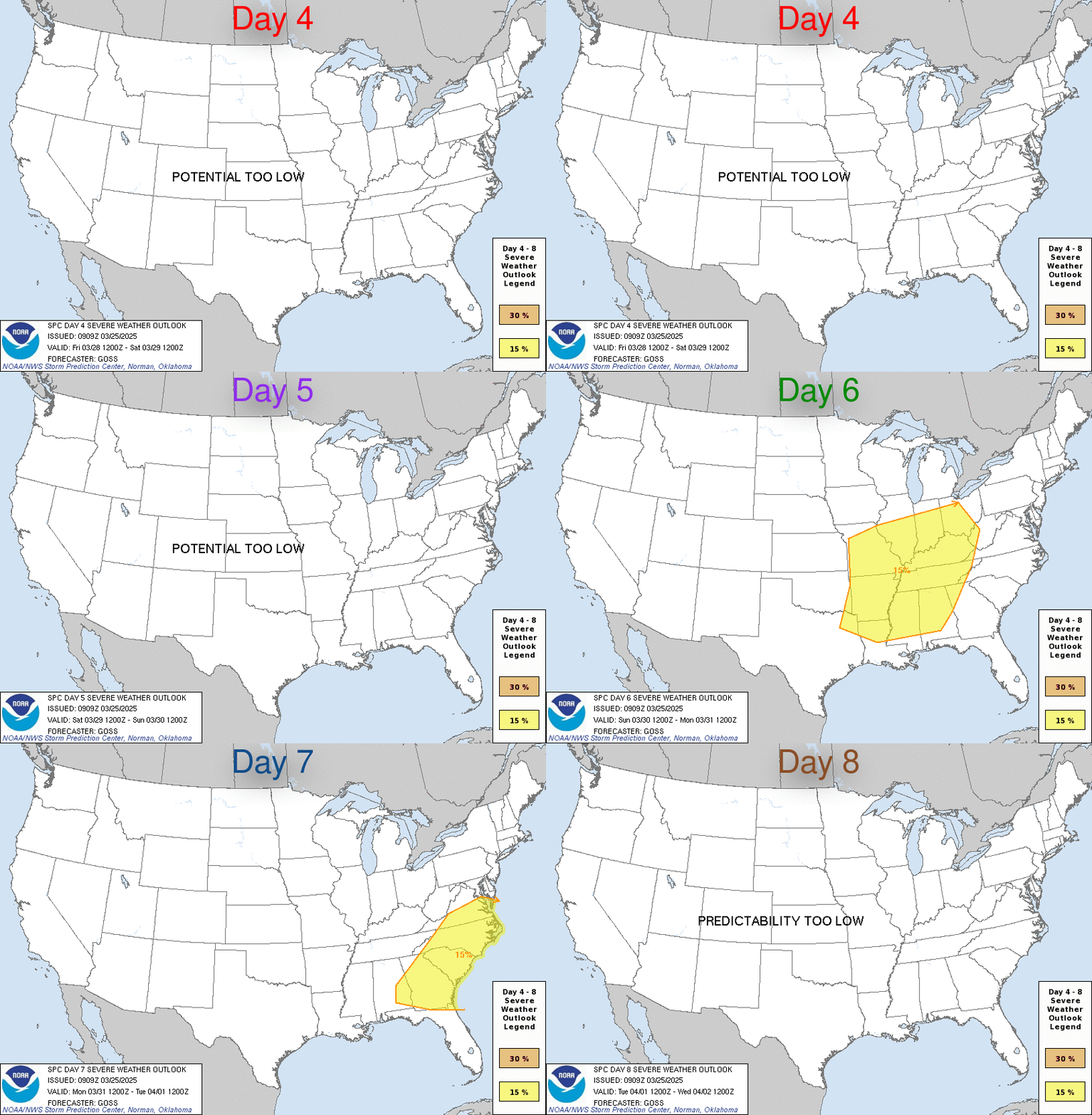
Day 4-8 Convective Outlook
NWS Storm Prediction Center Norman OK
0342 AM CDT Sat Sep 14 2024

Valid 171200Z - 221200Z

...DISCUSSION...
...D4...
Severe potential may be maximized on D4/Tuesday, but persistent
predictability concerns preclude a 15 percent highlight.

A mid-level low centered the ID/NV/UT border area at 12Z Tuesday
should advance north-northeast towards the MT/AB/SK border area by
12Z Wednesday. Guidance has improved consistency with this track.
But models remain inconsistent with the amplitude of the meridional
mid-level jet to the east of the low, and spatial/temporal spread
appears to have increased with evolution of surface cyclogenesis
over the northern High Plains. It is plausible that a meso-alpha
scale corridor of 15 percent severe probabilities may be warranted
in later outlooks, somewhere in the eastern MT/WY to western Dakotas
vicinity.

The large spread in guidance with the development of a near-coastal
subtropical/tropical cyclone on D3 renders minimal predictability
for D4 severe potential in NC and the Lower Mid-Atlantic region.

...D6-8...
Latest guidance has trended towards a slower, positive-tilt
large-scale trough evolution over the West, as the next upstream
shortwave impulse digs back into the Southwest. A moderate mid-level
southwesterly flow regime and persistent moderate to well-above
normal temperatures may yield daily bouts of low-probability severe
from the south-central High Plains to the Upper Midwest. Despite
typical predictability concerns in this time frame, overall setup
appears unlikely to support a synoptically evident severe episode.
Read morehttps://www.spc.noaa.gov/products/exper/day4-8/
|
|



CMS The Best Conveyancing solicitors conveyancing quotes throughout the UK
For any webhosting enquiries please email webmaster@aus-city.com
|
|
Entire Thread
|
 SPC Sep 14, 2024 Day 4-8 Severe Weather Outlook |
Webmaster
|
Sat 14 Sep 2024 08:45:AM
|
|
Forums60
Topics916,253
Posts951,050
Members2,960
| |
Most Online102,106
Jul 10th, 2026
|
|
|
|
|

|









































