|
|
|
1 members (Alisa),
952
guests, and
26
robots. |
|
Key:
Admin,
Global Mod,
Mod
|
|
S |
M |
T |
W |
T |
F |
S |
|
|
|
1
|
2
|
3
|
4
|
5
|
|
6
|
7
|
8
|
9
|
10
|
11
|
12
|
|
13
|
14
|
15
|
16
|
17
|
18
|
19
|
|
20
|
21
|
22
|
23
|
24
|
25
|
26
|
|
27
|
28
|
29
|
30
|
|
|
|
|
There are no members with birthdays on this day. |
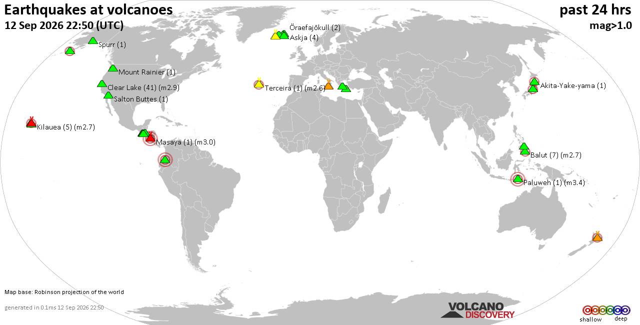
Volcano earthquake report for Saturday, 12 September 2026
• World Earthquake Report for Saturday, 12 September 2026
• Moderate but deep magnitude 5.3 quake hits 74 km southeast of Nakanoshima, ...
• Strong mag. 5.3 earthquake - Ryukyu Islands, Japan, on Sunday, Sep 13, 2026...
• Seismic-like event, possible earthquake, reported minutes ago near Pasto, N...
• Moderate mag. 4.3 earthquake - Philippine Sea, 34 km south of Miyake, Tokyo...
|

#746580
Thu 28 Nov 2024 06:25:AM
|
Joined: Feb 2001
Posts: 678,977
Launch Director
|
|
Launch Director
Joined: Feb 2001
Posts: 678,977 |
SPC Nov 28, 2024 0700 UTC Day 2 Convective OutlookSPC 0700Z Day 2 Outlook 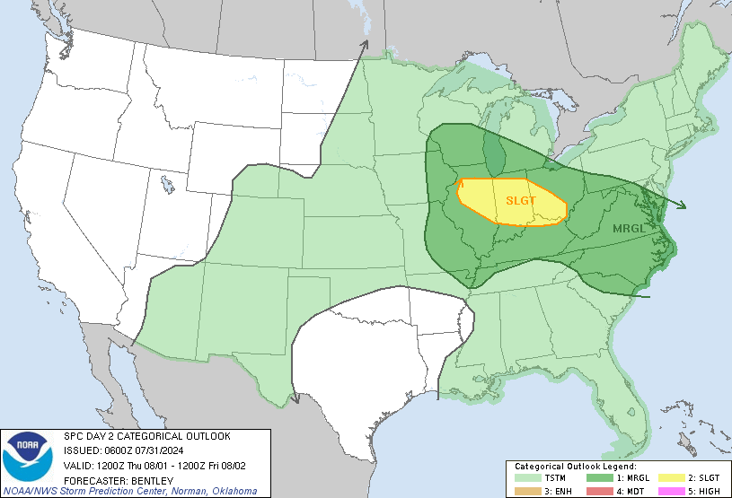
Day 2 Convective Outlook
NWS Storm Prediction Center Norman OK
1221 AM CST Thu Nov 28 2024

Valid 291200Z - 301200Z

...NO SEVERE THUNDERSTORM AREAS FORECAST...

...SUMMARY...
Severe thunderstorms are not expected on Friday.

...Synopsis...
A large mid/upper-level trough will cover most of the central and
eastern CONUS on Friday, to the south of a mid/upper-level low
centered near James Bay. A cold front will continue moving southward
across the Gulf of Mexico and the Florida Peninsula. Dry and stable
conditions are expected to limit thunderstorm potential across most
of the CONUS.

Across the Florida Peninsula, showers and isolated thunderstorms
will be possible as the front moves southward. While deep-layer
shear will be rather strong, generally weak ascent and a warm layer
near 700 mb will tend to limit available buoyancy and updraft
intensify/organization, resulting in low organized-severe potential.
Behind the front, remnant midlevel moisture will support potential
for elevated convection with isolated/sporadic lightning flashes.

Across the Great Lakes, very cold temperatures aloft (near -20 C at
700 mb) within the cyclonic flow regime will result in the
development of lake-effect snow bands through most of the forecast
period. Sporadic lightning flashes cannot be ruled out with the
strongest bands, though this potential would inherently be quite
isolated.

..Dean.. 11/28/2024
Read morehttps://www.spc.noaa.gov/products/outlook/day2otlk_0700.html
|
|



CMS The Best Conveyancing solicitors conveyancing quotes throughout the UK
For any webhosting enquiries please email webmaster@aus-city.com
|
|
Entire Thread
|
 SPC Nov 28, 2024 0700 UTC Day 2 Convective Outlook
|
Webmaster
|
Thu 28 Nov 2024 06:25:AM
|
|
Forums60
Topics825,807
Posts860,600
Members2,960
| |
Most Online102,106
Jul 10th, 2026
|
|
|
|
|

|





































